Tectonic vulnerability and frequent earthquakes in Afghanistan
Source:Indian Express ↗
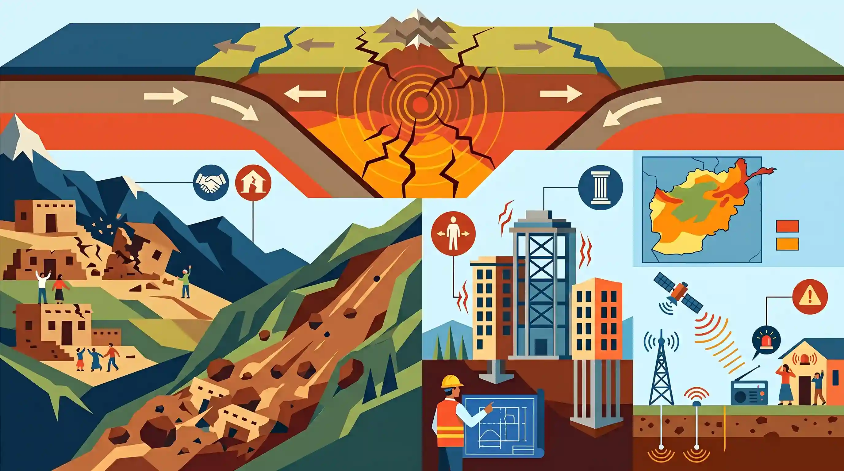
Why It Matters
Understanding the geographical causes of earthquakes (plate tectonics) and the socio-economic factors that exacerbate disaster vulnerability is crucial for both GS1 (Physical Geography) and GS3 (Disaster Management). Afghanistan's situation mirrors the seismic risks faced by the Himalayan regions of India, making it a highly relevant case study for disaster preparedness and mitigation strategies.
Summary
A powerful 6.3 magnitude earthquake in Afghanistan has once again highlighted the country's extreme vulnerability to seismic hazards. Afghanistan's location at the complex convergent boundaries of the Indian, Eurasian, and Arabian tectonic plates leads to frequent and intense earthquakes, particularly in the Hindu Kush region. The disaster impact is severely magnified by widespread poverty and poor infrastructure, with many traditional mud-brick structures unable to withstand ground shaking. Additionally, the mountainous terrain makes the area prone to secondary disasters like landslides. The situation underscores the urgent need for comprehensive disaster management strategies, including hazard zonation, earthquake-resistant construction, and early warning systems, to mitigate future risks in highly active seismic zones.
Key Points
- Afghanistan recently experienced a 6.3 magnitude earthquake near Mazar-e-Sharif, adding to a long history of severe seismic events.
- The country's high seismicity is primarily driven by its location at the active convergence zone of the Indian, Eurasian, and Arabian tectonic plates.
- The rugged terrain of the Hindu Kush mountains makes the region susceptible to secondary hazards like earthquake-induced landslides.
- High casualty rates are largely due to severe structural vulnerability, as many homes are built with unreinforced mud-brick, lacking earthquake-resistant design.
- Effective disaster mitigation requires detailed hazard zonation mapping, early warning systems, and retrofitting existing infrastructure, though socio-economic challenges hinder implementation.
Prelims Trap
Continental collision zones like the Himalayas and Hindu Kush only produce shallow-focus earthquakes.
While continental collisions typically cause shallow quakes, the Hindu Kush uniquely experiences intermediate-to-deep focus earthquakes (70–300 km) due to complex lithospheric subduction.
Static Concepts Connected
How do tectonic plate boundaries determine earthquake depth?
- Divergent boundaries: Shallow earthquakes occur as tectonic plates pull apart and magma rises, such as along the Mid-Atlantic Ridge.
- Transform boundaries: These boundaries typically produce shallow, highly destructive earthquakes along strike-slip faults where plates slide past each other.
- Convergent boundaries: These can produce shallow, intermediate, and deep earthquakes along the Wadati-Benioff zone, particularly where oceanic subduction is involved.
What are the primary seismic macro-zones in India?
- Zone V (Very High): The highest risk zone; includes the entire Northeast, parts of J&K, Himachal, Uttarakhand, Rann of Kutch, and A&N Islands.
- Zone IV (High): Covers Delhi, the Indo-Gangetic plains, and remaining parts of the Himalayan states bordering the high-risk zones.
- Zone II and III: Represent moderate to low-risk areas, predominantly covering the relatively stable peninsular shield region of India.
Cross-Topic Patterns
Hindu Kush vs Himalayan tectonic profiles
Both face extreme seismic risk from the Indian plate's northward drift, but Hindu Kush sees deep-focus quakes while the Himalayas predominantly face shallow, highly destructive crustal ruptures.
Traditional housing and seismic retrofitting
The failure of mud-brick homes in Afghanistan mirrors India's rural Himalayan vulnerability, highlighting the need to retrofit indigenous structures like Dhajji Dewari for disaster resilience.

Expect a GS-1 Prelims geography statement comparing earthquake depth profiles (shallow vs deep) of the Hindu Kush and the Himalayas.
Linked PYQs · 4
Linked PYQs · 4
- 2021MainsGS3
Discuss about the vulnerability of India to earthquake related hazards. Give examples including the salient features of major disasters caused by earthquakes in different parts of India during the last three decades.
- 2019MainsGS3
Vulnerability is an essential element for defining disaster impacts and its threat to people. How and in what ways can vulnerability to disasters be characterized? Discuss different types of vulnerability with reference to disasters.
- 2025MainsGS1
Discuss how the changes in shape and sizes of continents and ocean basins of the planet take place due to tectonic movements of the crustal masses.
- 2019MainsGS3
Disaster preparedness is the first step in any disaster management process. Explain how hazard zonation mapping will help disaster mitigation in the case of landslides.
