NavIC versus GPS Technological Comparison and Strategic Debate
Source:The Hindu ↗
Why It Matters
Understanding the technological parameters, frequency bands, and strategic rationale of indigenous navigation systems like NavIC versus global systems like GPS is crucial for GS3 Science and Technology and internal/national security questions.
Summary
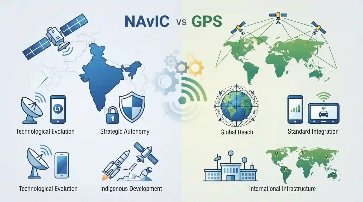
The article details the technical and strategic differences between India's regional navigation system, NavIC, and the global positioning system (GPS). It highlights the ongoing technological evolution of NavIC—such as shifting towards L1 frequency bands for better consumer device integration—and addresses the policy, hardware, and strategic autonomy debates surrounding satellite navigation.
Key Points
- NavIC (Navigation with Indian Constellation) is India's regional satellite navigation system developed by ISRO, while GPS is a global positioning system owned by the United States.
- A key debate involves frequency bands: NavIC historically used L5 and S bands, but is transitioning to include L1 band frequencies to enhance compatibility with consumer electronic devices like smartphones.
- Unlike global systems that require massive constellations, NavIC uses a regional configuration of satellites (geostationary and geosynchronous orbits) providing precise positioning over India and surrounding regions.
- Integration challenges include hardware modifications in commercial smartphones, power consumption, chipsets, and geopolitical strategic autonomy in defense and commercial sectors.
Important Terms
NavIC

India's regional satellite navigation system developed by ISRO, providing accurate position, navigation, and timing services over India and the surrounding region.
UPSC context
UPSC Paper III (Science & Technology - Space): Tests awareness of indigenous space capabilities, strategic autonomy, and critical infrastructure applications.
GPS
The United States' global positioning system, which is a global navigation satellite system providing reliable geolocation and time information anywhere on or near Earth.
UPSC context
UPSC Paper III (Science & Technology): Tests understanding of global navigation satellite systems and international technology dependencies.
ISRO
India's national space agency responsible for the development, launch, and operation of indigenous space assets like satellites, launch vehicles, and navigation systems.
UPSC context
UPSC Paper III (Science & Technology): Tests knowledge of institutional frameworks driving India's space program and scientific achievements.
Prelims Trap
NavIC is a global satellite navigation system providing worldwide positioning coverage comparable to the US GPS.
Aspirants often assume NavIC is a global system like GPS. NavIC is strictly a regional navigation satellite system with coverage up to 1,500 km beyond India's borders.
Static Concepts Connected
What are the key orbital configurations and frequency bands used in Global Navigation Satellite Systems (GNSS)?
- MEO Constellations: Medium Earth Orbit (MEO) is utilized by global systems like GPS, Galileo, and GLONASS at altitudes of roughly 20,000 km for global coverage.
- GEO/GSO Orbits: Geostationary (GEO) and Geosynchronous (GSO) orbits are used by regional systems like NavIC to keep satellites hovering over specific target regions.
- Frequency Bands: Frequency Bands such as L1, L5, and S-bands are used for transmitting navigation signals, with L1 being standard for consumer electronics globally.
Cross-Topic Patterns
NavIC + Internal Security & Border Surveillance
Regional satellite navigation like NavIC strengthens domestic geofencing and border surveillance, directly supporting internal security architectures and disaster management frameworks.
NavIC + Semiconductor Mission & Consumer Electronics
Transitioning NavIC to L1 frequency bands intersects with semiconductor manufacturing policies, as domestic chipset design must natively support multi-constellation chips.

NavIC's orbital configuration (GEO/GSO vs MEO) and L1/L5/S frequency bands are prime targets for a statement-based Prelims question.
Linked PYQs · 3
Linked PYQs · 3
- 2023PrelimsGS1
Which one of the following countries has its own Satellite Navigation System?
- 2018PrelimsGS1
With reference to the Indian Regional Navigation Satellite System (IRNSS), consider the following statements: 1. IRNSS has three satellites in geostationary and four satellites in geosynchronous orbits. 2. IRNSS covers entire India and about 5500 sq. km beyond its borders. 3. India will have its own satellite navigation system with full global coverage by the middle of 2019. Which of the statements given above is/are correct?
- 2015MainsGS3
What do you understand by 'Standard Positioning Systems' and 'Precision Positioning Systems' in the GPS era? Discuss the advantages India perceives from its ambitious IRNSS programme employing just seven satellites.
