West Bengal Commits to Mangrove Restoration in the Sundarbans
Source:The Hindu ↗
Why It Matters
Important for West Bengal state-specific ecological geography, mangrove protection, and environmental governance questions typically featured in WBCS Prelims.
Summary
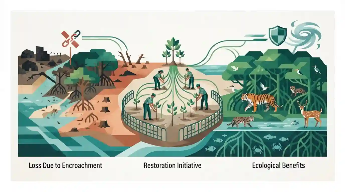
The West Bengal government has committed to restoring mangrove forests in the Sundarbans that have been lost due to illegal encroachments. This initiative aims to protect the fragile deltaic ecosystem, enhance coastal resilience against extreme weather events, and preserve unique biodiversity.
Key Points
- West Bengal Minister vowed to restore mangroves lost to encroachments in the Sundarbans region.
- Encroachments in deltaic mangrove areas threaten coastal biodiversity and ecological security.
- Mangrove restoration is vital for combating climate change impacts, cyclones, and coastal erosion in West Bengal.
Important Terms
Sundarbans

A UNESCO World Heritage Site and the world's largest contiguous mangrove forest, the Sundarbans span India and Bangladesh. India's portion accounts for 42.45% of the nation's total mangrove cover.
UPSC context
Crucial for WBCS Paper I (Geography of West Bengal) and Paper II (Environment & Ecology), testing deltaic dynamics, biodiversity, and climate resilience.
Bheries
Shallow brackish-water fish or prawn ponds created by clearing interior mangrove forests. Encroachers often leave outer tree lines intact along waterways to conceal the illegal aquaculture from aerial or waterborne inspections.
UPSC context
Important for West Bengal economy, coastal land-use changes, and environmental degradation issues tested in WBCS Environment and Economy sections.
Mangroves
Salt-tolerant halophytic plant communities growing in intertidal coastal zones. They act as natural bio-shields against cyclones, prevent coastal erosion, and support fragile estuarine ecosystems.
UPSC context
Appears frequently in WBCS Environment & Ecology questions regarding coastal bio-shields, carbon sequestration, and wetland conservation.
Prelims Trap
All mangrove loss in the Sundarbans is exclusively due to natural sea-level rise and global climate change.
Aspirants often overlook anthropogenic pressures like illegal conversion into brackish water fish ponds (bheries) and human encroachments, which are major drivers alongside natural erosion.
Static Concepts Connected
What are the key ecological and geographical features of the Sundarbans?
- Deltaic Extent: Largest deltaic mangrove forest in the world, spread across India and Bangladesh, forming the lower part of the Ganges-Brahmaputra-Meghna delta.
- Global Status: Designated as a UNESCO World Heritage Site in 1987 and a Ramsar wetland of international importance.
- Biodiversity Profile: Home to the endangered Royal Bengal Panther (Panthera tigris tigris) and unique endemic flora like Sundari (Heritiera fomes).
- Bio-Shield Role: Acts as a natural bio-shield against severe cyclonic storms originating in the Bay of Bengal.
Cross-Topic Patterns
Mangroves + Cyclone Disaster Management Linkage
Sundarbans conservation intersects directly with disaster management protocols, as mangrove belts serve as the first line of defense against Bay of Bengal cyclones.
Coastal Aquaculture vs. Wetland Conservation
Unauthorised brackish water aquaculture (bheries) highlights the constant conflict between rural livelihood expansion and coastal wetland protection under WB geography.

Sundarbans mangrove restoration, UNESCO status, and bheries aquaculture threat are prime for WB Prelims matching or statement questions.
Linked PYQs · 2
Linked PYQs · 2
- 2019WBCS_PRELIMSGS1
Sundarban is declared as 'World Heritage Site' for
- 2024WBCS_PRELIMSGS1
On a per hectare basis which of the following forests will hold maximum amount of carbon?
