Weak Monsoon Circulation Brings Dry Weather Across Rajasthan
Source:times-of-india ↗
Why It Matters
Understanding the monsoon mechanism, dry spells (monsoon breaks), and the spatial distribution of temperature and rainfall in Rajasthan is crucial for both geography and agricultural planning, which are highly relevant areas for RPSC RAS examinations.
Summary
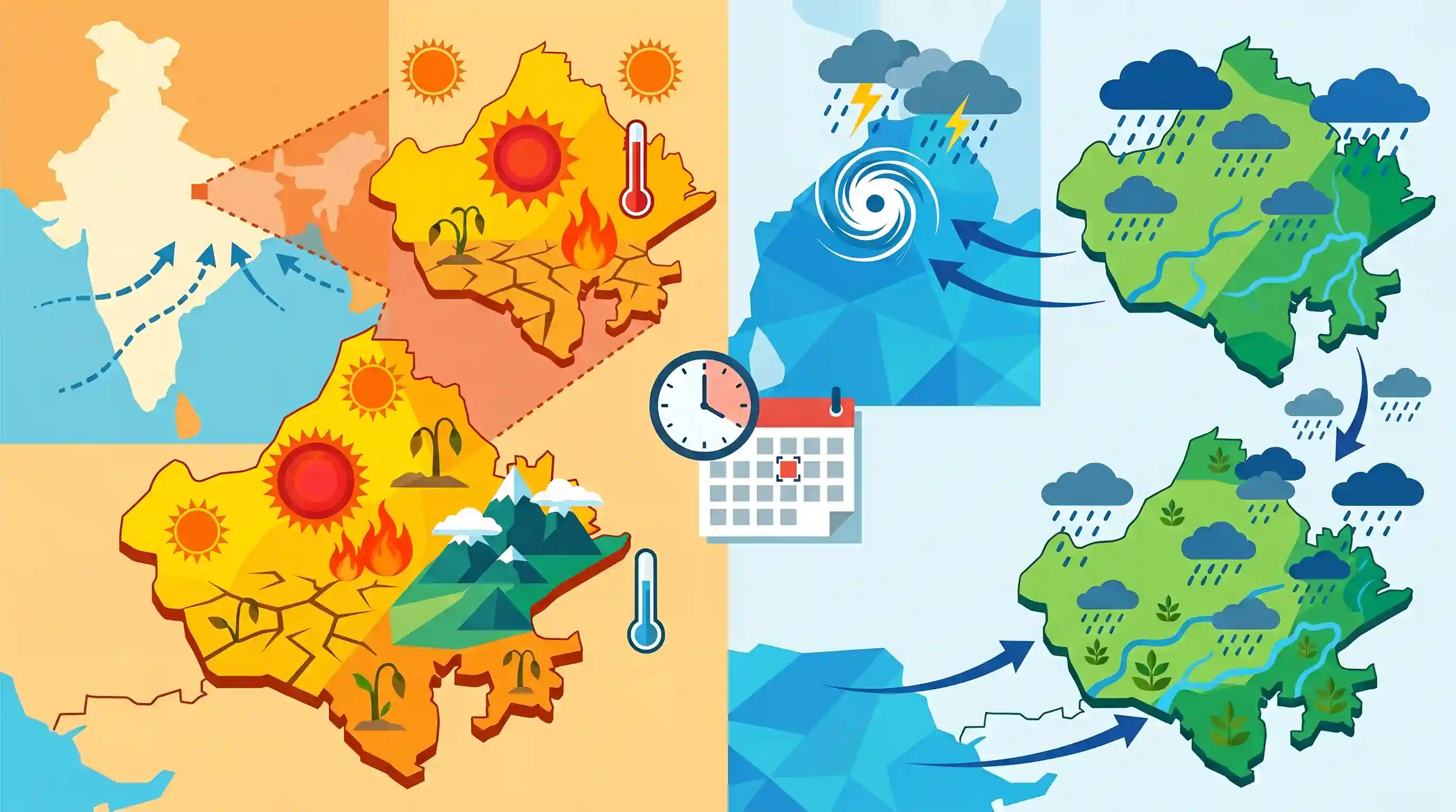
A weak phase in the southwest monsoon circulation has resulted in dry weather and rising temperatures across Rajasthan, with Phalodi recording the state's highest temperature of 41.2°C and Mount Abu being the coolest at 25.4°C. The Jaipur Meteorological Centre forecasts a revival of monsoon activity from July 20 onwards due to a fresh weather system forming over the Bay of Bengal, which will bring rains to eastern and subsequently western Rajasthan.
Key Points
- A weakening of the southwest monsoon circulation has led to dry weather conditions and a rise in temperatures across Rajasthan.
- Phalodi recorded the highest temperature in the state at 41.2°C, followed by Jaisalmer at 40.4°C and Churu at 39.2°C.
- Mount Abu remained the coolest place in Rajasthan, registering a maximum temperature of 25.4°C.
- A revival of monsoon rainfall is forecasted from July 20 onward, triggered by a new weather system expected to develop over the Bay of Bengal.
- The variation in rainfall and temperature across Rajasthan’s physiographic regions is a crucial concept, as the state experiences a distinct rainfall gradient decreasing from the southeast/east toward the northwest/west.
Important Terms
Southwest Monsoon

A major seasonal wind system blowing from the southwest, bringing nearly 75-80% of India's annual rainfall between June and September. It is driven by the differential heating of land and sea.
UPSC context
GS Paper I: Climatology. Tests understanding of monsoon mechanisms and their socio-economic impact on Indian agriculture.
Monsoon Break
A prolonged dry spell during the rainy season when the monsoon trough shifts, causing rainfall to cease over most of the Indian plains while intensifying along the Himalayas.
UPSC context
GS Paper I: Climatology. Tests understanding of intra-seasonal monsoon variability and its impact on agriculture.
India Meteorological Department
The principal government agency responsible for meteorological observations, weather forecasting, and seismology in India, operating under the Ministry of Earth Sciences.
UPSC context
GS Paper I & III: Geography & Disaster Management. Tests knowledge of early-warning mechanisms and weather monitoring.
Jaipur Meteorological Centre
A state-level meteorological center of the India Meteorological Department providing regional weather forecasting, agricultural advisories, and severe weather warnings for Rajasthan.
UPSC context
GS Paper I & III: Geography & Disaster Management. Tests regional meteorological monitoring and local climate hazards.
Phalodi
A district in western Rajasthan's Thar Desert, historically recording India's highest-ever temperature of 51°C and home to the Khichan Ramsar wetland.
UPSC context
GS Paper I: Geography. Tests knowledge of arid climatic zones, extreme temperatures, and desert ecology.
Prelims Trap
The Aravallis act as a barrier to the Arabian Sea branch, causing heavy orographic rain on Rajasthan's western slopes.
The Aravallis run parallel to the Arabian Sea branch, allowing it to pass without obstruction, while acting as a rain-shadow barrier to the Bay of Bengal branch.
Static Concepts Connected
What are the roles of the 50 cm and 25 cm isohyets in India's western geography?
- 50 cm Isohyet: Runs parallel to the Aravalli Range, dividing Rajasthan into the arid/semi-arid west and the humid/semi-humid eastern plains.
- 25 cm Isohyet: Further splits the western dry plains into the hyper-arid sandy desert (Marusthali) and the semi-arid steppe (Rajasthan Bangar).
How is Rajasthan classified under Köppen's Climate Classification?
- BWhw Zone: Represents the hot desert climate of the far-western districts like Jaisalmer and Barmer.
- BShw Zone: Represents the semi-arid steppe climate, which is the state's largest climatic sub-region.
- Cwg and Aw Zones: Represents the monsoon-influenced humid subtropical climate in eastern plains (Cwg) and tropical wet climate in the far south (Aw).
Cross-Topic Patterns
Isohyets + Agricultural Crop Zoning
Rainfall boundaries like the 25cm and 50cm isohyets directly dictate dryland agriculture zoning, shifting farming from pearl millet (Bajra) to pulses and oilseeds.
Orographic Barriers vs Alignment
Comparing the perpendicular Western Ghats with the parallel Aravallis highlights how mountain alignment dominates over maritime proximity in determining regional precipitation.

Köppen codes (BWhw/BShw) mapped to the dual-negative climatic role of the Aravallis likely to feature in 2026 physical geography.
Linked PYQs · 2
Linked PYQs · 2
- 2025RPSC_PRELIMSGS1
What is the correct ascending order of the following group of districts of Rajasthan based on average rainfall in the southwest monsoon?
- 2023RPSC_PRELIMSGS1
Which of the following groups of districts is correctly arranged in descending order according to the amount of received monsoon rainfall?
