Floodwaters Recede Across Jammu And Kashmir Following Severe Rains
Source:The Hindu ↗
Why It Matters
The recurrent flooding in J&K exposes the systemic gaps in long-term disaster mitigation strategies, specifically the failure of infrastructural upgrades promised after the devastating 2014 floods. It emphasizes the vulnerability of the Himalayan region to climate-induced extreme weather events and highlights the administrative debate over declaring regional calamities as 'national disasters' for enhanced central assistance.
Summary
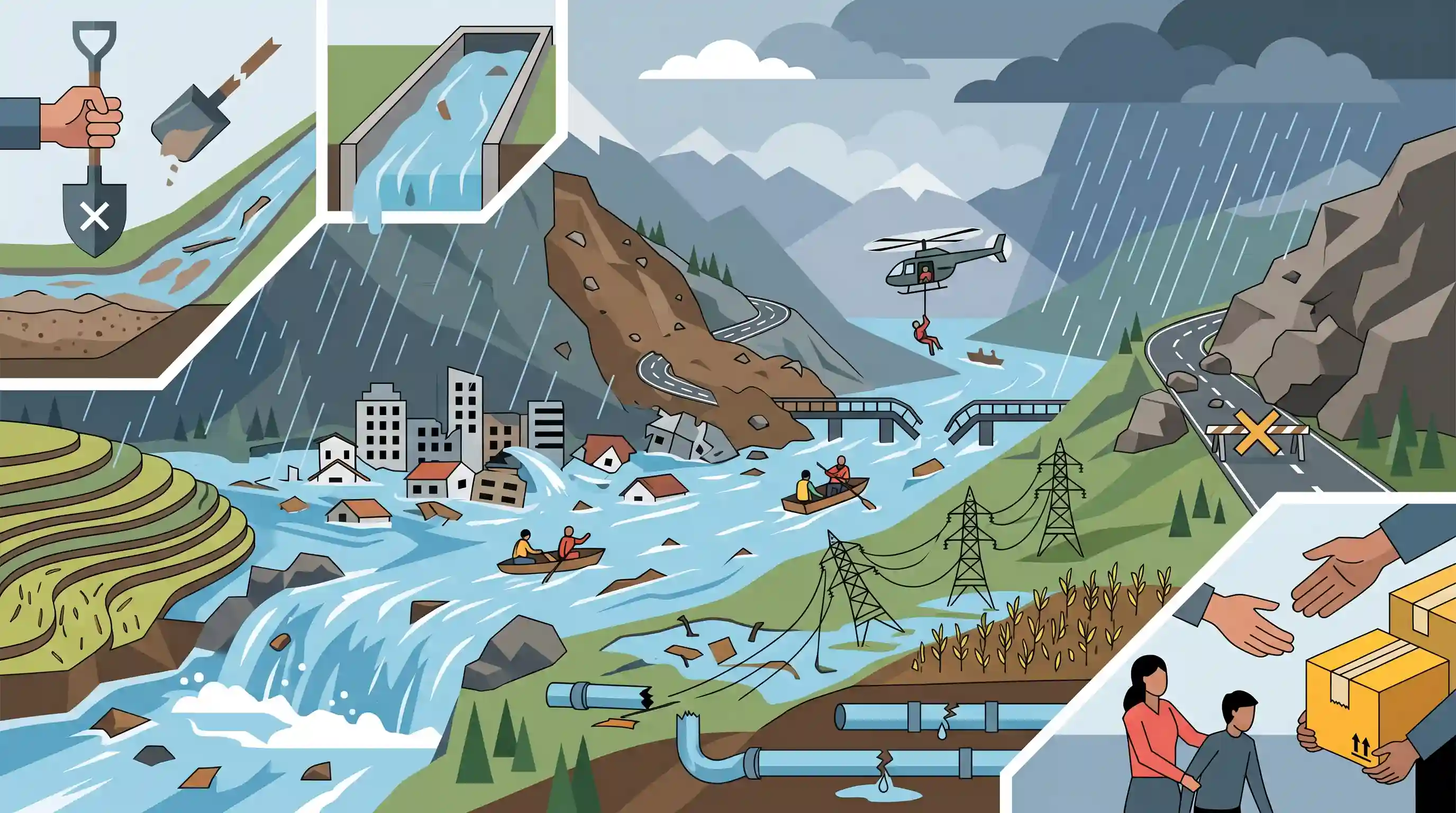
Recent flash floods and landslips in Jammu and Kashmir, triggered by intense rainfall, have claimed over 40 lives and caused extensive infrastructural and agricultural damage. Although water levels in key rivers like the Jhelum and Tawi are now receding, the calamity severely disrupted essential services, including water and power, and led to the closure of the Jammu-Srinagar National Highway. Chief Minister Omar Abdullah highlighted the failure of post-2014 flood mitigation initiatives, particularly noting inadequate dredging and insufficient flood channel capacities. The extensive devastation in regions like the Chenab Valley has prompted demands for the Centre to declare the event a 'national disaster' to ensure adequate relief and compensation.
Key Points
- Water levels in major J&K rivers (Jhelum, Tawi) have started receding after heavy rains triggered severe flash floods and landslips, killing over 40 people.
- The natural disaster caused widespread infrastructure collapse, closing the Jammu-Srinagar National Highway and disrupting essential electricity and water (Jal Shakti) supplies.
- Massive agricultural and horticultural losses were reported, particularly in the Chenab Valley, south Kashmir, and Warwan areas.
- Chief Minister Omar Abdullah criticized the inadequacy of post-2014 flood mitigation measures, pointing out the limited capacity of flood spill channels and insufficient dredging of the Jhelum River.
- There is a growing demand from state leadership to declare the crisis a 'national disaster' to expedite relief, rehabilitation, and insurance compensation.
Important Terms
Flash Floods

Sudden, high-intensity flooding often occurring within six hours of heavy rainfall or cloudbursts. Common in the Himalayas, these events sweep debris and sediment downstream, causing rapid infrastructural destruction and loss of life.
UPSC context
GS Paper 3 (Disaster Management); tests knowledge of sudden-onset hazards and mitigation in mountainous regions.
Landslides
The downward movement of rock, debris, or earth under gravity, frequently triggered by intense precipitation or seismic activity. In the fragile Himalayan terrain, they are exacerbated by unplanned construction and road widening.
UPSC context
GS Paper 3 (Disaster Management); tests understanding of natural and anthropogenic triggers in ecologically sensitive zones.
National Disaster
A status requested by states for massive calamities to seek enhanced Central assistance. While the Disaster Management Act, 2005 lacks a formal ‘national disaster’ definition, the Centre may declare a ‘calamity of severe nature.’
UPSC context
GS Paper 2 (Governance); tests knowledge of administrative frameworks and financial relief mechanisms under the DM Act.
India Meteorological Department (IMD)
The principal government agency responsible for weather forecasting and seismology. It issues color-coded alerts (Red, Orange, Yellow) crucial for early warning systems and disaster preparedness during extreme weather events.
UPSC context
GS Paper 3 (Disaster Management); tests understanding of early warning systems and institutional technology roles.
Ministry of Jal Shakti
Formed in 2019, this ministry integrates water resource management, river development, and sanitation. It oversees flood control strategies, river basin management, and schemes like the Jal Jeevan Mission and Jal Shakti Abhiyan.
UPSC context
GS Paper 2 (Governance); tests knowledge of institutional structures for water security and disaster resilience.
Dredging
The technical process of removing accumulated silt and debris from riverbeds to restore depth and flow capacity. While used for flood mitigation, its long-term effectiveness is often contested due to ecological disruption.
UPSC context
GS Paper 3 (Environment/Disaster Management); tests understanding of structural vs. non-structural flood mitigation measures.
Himalayan Ecosystem
A young, geologically unstable mountain range highly vulnerable to climate change. Its fragility stems from tectonic activity, steep gradients, and high sensitivity to human pressures like deforestation and large-scale infrastructure projects.
UPSC context
GS Paper 1 (Geography); tests knowledge of physical characteristics and environmental vulnerabilities of the Indian Himalayan Region.
Prelims Trap
The Disaster Management Act, 2005 empowers the Centre to declare an extreme weather event a "National Disaster."
There is no legal or executive provision to declare a crisis a "National Disaster." Extreme events are instead categorized as a "calamity of a severe nature" to enable NDRF funding.
Static Concepts Connected
What is the geographical profile of the Jhelum and Tawi rivers?
- Jhelum origin: Rises from the Verinag spring at the foot of the Pir Panjal, flows through Wular Lake, and is a vital tributary of the Indus system.
- Tawi origin: Originates from the Kailash Kund glacier and flows as a major left-bank tributary to the Chenab river in the Jammu region.
How is disaster relief financed under the Disaster Management Act, 2005?
- Primary fund (SDRF): The State Disaster Response Fund (SDRF) is the primary fund available to State Governments for immediate disaster response and relief.
- Supplementary fund (NDRF): The National Disaster Response Fund (NDRF) supplements the SDRF only when a disaster is officially categorized as a "calamity of a severe nature."
Cross-Topic Patterns
Himalayan vs. Western Ghats vulnerability
Himalayan flash floods and landslips are driven by tectonic activity and steep gradients, while Western Ghats disasters are often triggered by anthropogenic stress on older, stable geological formations.
Carrying capacity and structural mitigation
The failure of post-2014 flood channels highlights how poor structural mitigation (like inadequate dredging) exacerbates geographical vulnerabilities, echoing the recurrent inundation issues seen in the Kosi and Brahmaputra basins.

Expect a 2026 prelims pairing of Himalayan river drainage (Tawi/Jhelum/Chenab) with a tricky statement on 'National Disaster' declarations.
Linked PYQs · 5
Linked PYQs · 5
- 2024MainsGS3
Flooding in urban areas is an emerging climate-induced disaster. Discuss the causes of this disaster. Mention the features of two such major floods in the last two decades in India. Describe the policies and frameworks in India that aim at tackling such floods.
- 2021MainsGS3
Describe the various causes and the effects of landslides. Mention the important components of the National Landslide Risk Management Strategy.
- 2019MainsGS3
Disaster preparedness is the first step in any disaster management process. Explain how hazard zonation mapping will help disaster mitigation in the case of landslides.
- 2016MainsGS1
The Himalayas are highly prone to landslides. Discuss the causes and suggest suitable measures of mitigation.
- 2021MainsGS1
Differentiate the causes of landslides in the Himalayan region and Western Ghats.
