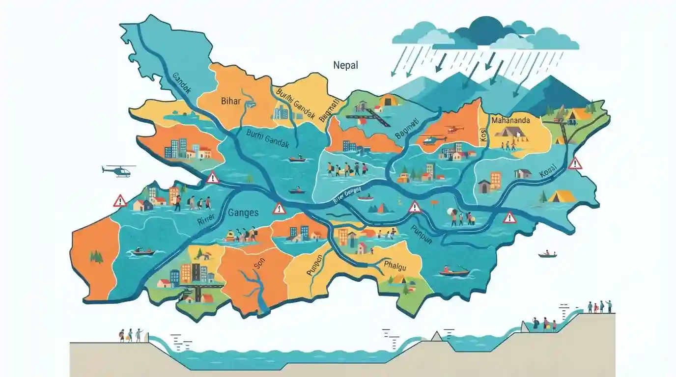
Bihar Rivers Water Level Rising to Dangerous Flood Marks
Source:The Hindu ↗
Why It Matters
Crucial for understanding Bihar's geography, monsoon impacts, river morphology, and disaster management relevant to BPSC Prelims.
Summary
The article reports on the rising water levels of rivers in Bihar reaching dangerous marks, posing flood threats to various districts and highlighting regional hydrological challenges.
Key Points
- Water levels in several major rivers across Bihar have risen to dangerous levels, causing flood concerns.
- Rising water levels in north Bihar rivers originate from heavy rainfall patterns and upstream water release.
- Highlights recurring vulnerabilities related to flood management and river systems in Bihar.
Prelims Trap
All major rivers causing floods in North Bihar originate within the territorial boundaries of Bihar state.
Aspirants often believe the Ganga originates in Bihar, whereas all major flood-causing northern rivers enter Bihar from Nepal/Tibet after originating in the Himalayas.
Static Concepts Connected
What are the primary characteristics and tributaries of the Kosi River in Bihar?
- Course Shifting: Known historically as the 'Sorrow of Bihar' due to frequent and unpredictable shifting of its course west to east across the plains.
- Origin & Confluence: Formed by the confluence of seven Himalayan streams (Saptakoshi) before entering India at Hanuman Nagar.
- Sediment Load: Carries massive sediment loads from the Himalayas, depositing them on the low-gradient plains and raising riverbeds.
Cross-Topic Patterns
Bihar Floods + India-Nepal Hydro Diplomacy
Bihar's river systems require transboundary water management frameworks involving India and Nepal, linking regional state geography with bilateral hydro-diplomacy.
Flood Vulnerability + Rural Economy & Disaster Relief
Recurring agrarian distress from North Bihar floods connects physical river geomorphology directly to rural livelihood schemes and disaster relief financing.

BPSC loves pairing North Bihar flood statistics (e.g. 73% flood-prone area) with Himalayan river origins and course-shifting traits.
Linked PYQs · 2
Linked PYQs · 2
- 2020BPSC_PRELIMSGS1
Which of the following rivers flowing in Bihar is a north flowing river?
- 2024-IBPSC_PRELIMSGS1
Which river is known as the ‘Sorrow of Bihar’?
