Western Ghats Carrying Capacity Study and Landslide Risks
Source:Indian Express ↗
Why It Matters
This issue illustrates the persistent conflict between infrastructure development and ecological conservation in sensitive geographies. It directly aligns with UPSC GS3 syllabus requirements covering ecosystem carrying capacity, landslide disaster mitigation, and the implementation of key environmental panels like the Kasturirangan and Gadgil committees.
Summary
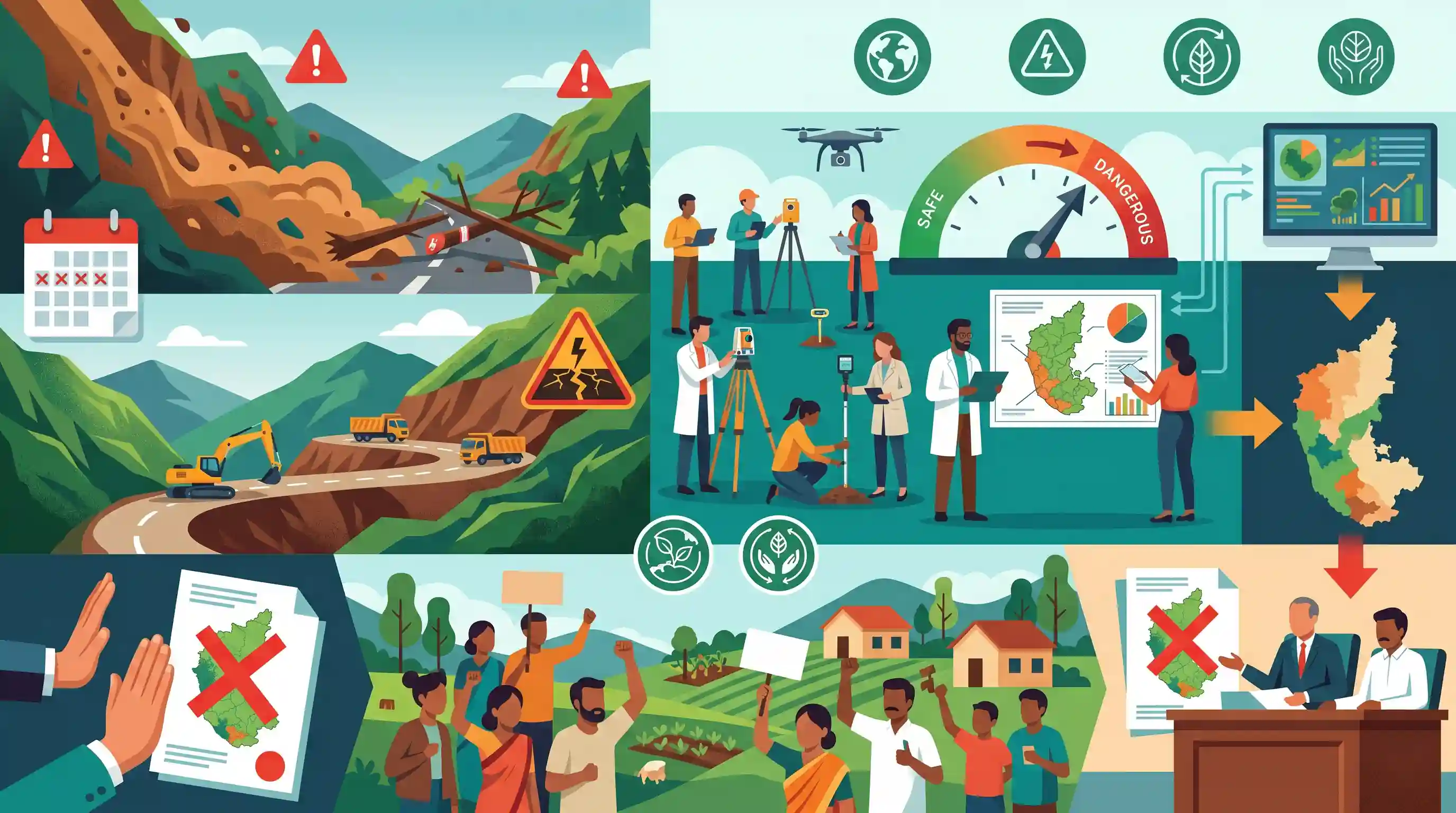
In response to frequent and devastating landslides, the Karnataka government has commissioned a study on the carrying capacity of the ecologically sensitive Western Ghats. The study, prompted by concerns that road and infrastructure projects are destabilizing the region, aims to assess sustainable limits for developmental activities. This move comes despite prior political and local resistance to conservation curbs, notably the state's recent rejection of the Kasturirangan committee report due to opposition in the Malnad districts.
Key Points
- The Karnataka government has directed the Forest Department to conduct a comprehensive study on the carrying capacity of the Western Ghats to be completed within three months.
- Forest, Ecology and Environment Minister Eshwar Khandre stated that ongoing road and development projects are endangering the region and exacerbating landslide risks.
- The concept of carrying capacity evaluates the maximum developmental and anthropogenic activity an ecologically sensitive region can sustainably support.
- Conservation efforts face strong local resistance in the state's Malnad districts, leading the Karnataka Cabinet to reject the Kasturirangan committee report last year.
- The urgency of the study is underscored by previous fatal disasters, such as a major landslide at Shirur in Uttara Kannada district that claimed 13 lives.
Important Terms
Kasturirangan Committee

A High-Level Working Group (2013) that recommended designating 37% of the Western Ghats as Ecologically Sensitive Areas (ESA) to balance environmental conservation with developmental needs.
UPSC context
GS Paper 3 (Environment); central to debates on Western Ghats conservation and balancing development with ecological integrity.
Carrying Capacity
The maximum level of human activity and infrastructure an ecosystem can sustain without causing irreversible environmental degradation or loss of natural resources.
UPSC context
GS Paper 3 (Sustainable Development); tests understanding of ecological limits in disaster-prone regions and scientific resource planning.
Ecologically Sensitive Area (ESA)
Fragile regions notified under the Environment (Protection) Act, 1986, where activities like mining and large-scale construction are regulated to protect biodiversity.
UPSC context
GS Paper 3 (Environment); key for understanding India's legal framework for biodiversity protection and land-use conflicts.
Western Ghats
A 1,600km mountain range and UNESCO World Heritage site known as a global 'biodiversity hotspot.' It is critical for the Indian monsoon and water security.
UPSC context
GS Paper 1 (Geography) and GS Paper 3 (Environment); fundamental to topics on biodiversity, climate, and disaster management.
Madhav Gadgil Report (WGEEP)
The 2011 Western Ghats Ecology Expert Panel (WGEEP) report which proposed a stringent conservation regime, recommending nearly 64% of the Ghats be protected.
UPSC context
GS Paper 3 (Environment); often compared with the Kasturirangan report to discuss environmental governance models and stakeholder participation.
Malnad Region
The high-rainfall, mountainous region of Karnataka's Western Ghats. It is a major hub for coffee and spice plantations but highly susceptible to landslides.
UPSC context
GS Paper 1 (Geography); relevant to regional geography of India and local socio-economic challenges in conservation.
Prelims Trap
"The Kasturirangan Committee recommended declaring the entire Western Ghats as an Ecologically Sensitive Area (ESA)."
The Gadgil Committee wanted the entire Western Ghats declared an ESA. The Kasturirangan Committee reduced this to roughly 37% to accommodate development.
Static Concepts Connected
What are the key differences between the Gadgil and Kasturirangan Committee reports?
- Gadgil (2011): Recommended the entire Western Ghats be designated as an ESA, divided into three zones with strict bans on mining and large dams.
- Kasturirangan (2013): Recommended only 37% of the total area as ESA, allowing certain developmental activities like hydropower with strict regulations to balance local needs.
- Core Approach: Gadgil focused purely on ecological protection via local Gram Sabha consensus, while Kasturirangan took a top-down, development-friendly approach.
What is 'Carrying Capacity' in environmental management?
- Definition: The maximum population size or developmental load an ecosystem can sustain indefinitely without degrading its natural resources.
- Policy Application: Used by courts and governments to set limits for tourism, infrastructure, and urban expansion in fragile zones like the Himalayas and Western Ghats.
- Disaster Link: Breaching carrying capacity via unscientific road cutting and deforestation alters natural drainage, directly triggering localized, human-induced disasters.
Cross-Topic Patterns
Geomorphology: Himalayan vs Western Ghats hazards
UPSC often compares geomorphic hazards. Himalayan landslides are driven by tectonic instability and young geology, whereas Western Ghats landslides are primarily monsoon-induced on heavily modified, lateritic slopes.
Federalism vs Ecological Conservation
The repeated rejection of ESA notifications highlights the tension between national environmental directives (MoEFCC) and state-level political economy driven by local plantation and mining lobbies.

Expect a multi-statement Prelims question comparing Himalayan vs Western Ghats landslide triggers, linked to Kasturirangan guidelines.
Linked PYQs · 5
Linked PYQs · 5
- 2021MainsGS1
Differentiate the causes of landslides in the Himalayan region and Western Ghats.
- 2013MainsGS1
Bring out the causes for more frequent occurrence of landslides in the Himalayas than in the Western Ghats.
- 2021MainsGS3
Describe the various causes and the effects of landslides. Mention the important components of the National Landslide Risk Management Strategy.
- 2019MainsGS3
Disaster preparedness is the first step in any disaster management process. Explain how hazard zonation mapping will help disaster mitigation in the case of landslides.
- 2019MainsGS3
Define the concept of carrying capacity of an ecosystem as relevant to an environment. Explain how understanding this concept is vital while planning for sustainable development of a region.
