Dharali commemorates flood victims with plantation drive
Source:newindianexpress ↗
Why It Matters
Highlights the vulnerability of the fragile Himalayan ecosystem to climate-induced disasters like flash floods, emphasizing the importance of sustainable rehabilitation and eco-restoration efforts by local communities.
Summary
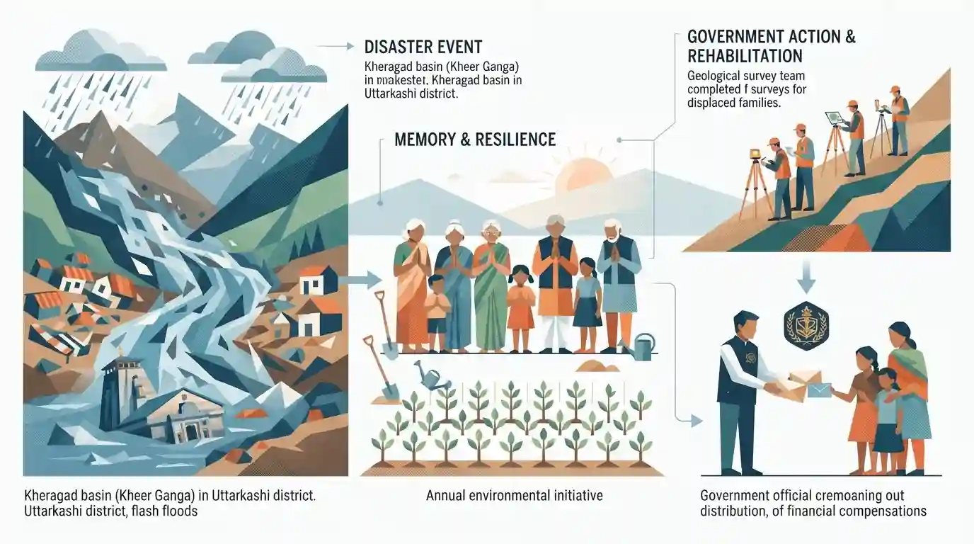
Residents of Dharali in Uttarkashi district, Uttarakhand, marked the first anniversary of the devastating August 2025 flash floods that caused extensive damage in Dharali and Harsil. Originating from the Kheragad basin (Kheer Ganga), the floods swept away markets, homes, and buried the Kalpeshwar temple. In memory of the victims, villagers organized prayers and planted 101 saplings, resolving to make it an annual environmental initiative. Concurrently, the administration has completed geological surveys for the rehabilitation of displaced families and distributed financial assistance to the owners of destroyed properties.
Key Points
- The residents of Dharali and Harsil in Uttarkashi district observed the first anniversary of the devastating August 5, 2025, flash floods.
- The flash flood, which originated in the Kheragad basin (Kheer Ganga), destroyed markets, apple orchards, and buried the local Kalpeshwar temple.
- To commemorate the victims and promote environmental conservation, locals planted 101 saplings and pledged an annual plantation drive.
- Geological surveys for the permanent rehabilitation of 21 displaced families have been completed by the administration.
- Financial assistance of ₹5 lakh each was provided to the owners of 115 completely destroyed houses, alongside relief to affected hotel owners.
Prelims Trap
"Kheer Ganga is a major tributary of the Alaknanda River located in the Garhwal Himalayas."
Kheer Ganga (Kheragad) is a glacier-fed tributary of the Bhagirathi River, converging near Dharali, not the Alaknanda River.
Static Concepts Connected
What makes the Garhwal Himalayas highly susceptible to flash floods?
- Steep topography: High gradients cause rapid surface run-off, drastically increasing the kinetic energy and erosive power of mountain streams.
- Glacial debris: The presence of unconsolidated moraines and para-glacial sediments means that intense rainfall easily mobilizes loose earth into devastating debris flows.
- Anthropogenic pressure: Unregulated infrastructure, road widening, and hydropower projects alter natural drainage systems and destabilize fragile mountain slopes.
What are the key features of the Bhagirathi Eco-Sensitive Zone?
- Statutory backing: Notified under the Environment (Protection) Act, 1986, covering the 100-km stretch from Gaumukh to Uttarkashi (approx. 4179 sq km).
- Core objective: Aims to protect the fragile ecosystem by restricting heavy infrastructure, mining, and new run-of-the-river hydropower projects.
- Ecological flow: Ensures the uninterrupted, natural flow of the Bhagirathi river to maintain regional biodiversity and geologic stability.
Cross-Topic Patterns
Micro-drainage + Disaster vulnerability
UPSC tests localized geographies (Harsil, Dharali) as proxies for broader themes like glacial lake outburst floods (GLOFs) and the debate over the carrying capacity of the Himalayas.
Colonial agro-history + Geography
Frederick Wilson's 19th-century introduction of commercial apple cultivation in Harsil links colonial-era agricultural interventions to modern Himalayan socio-economics.

Micro-geography of the Bhagirathi basin (valleys, tributaries, shrines) is highly probable as a Prelims matching pair in 2026.
Linked PYQs · 1
Linked PYQs · 1
- 2025UKPSC_PRELIMSGS1
Consider the following statements and select the correct answer from the options given below : Statement 1 : Uttarakhand is highly vulnerable to climate change. Statement 2 : Climate change is causing water stress and depleting biodiversity in Uttarakhand.
