Rudraprayag District Administration Security and Traffic Measures
Source:india-gazette ↗
Why It Matters
The article covers significant aspects of Uttarakhand's socio-cultural landscape (Kanwar and Kedarnath Yatra) intersecting with crucial geographical factors like monsoon-induced natural hazards, river dynamics (Sharda River), and disaster response frameworks. These align closely with UKPSC Prelims GS1 topics on state geography and climate vulnerability.
Summary
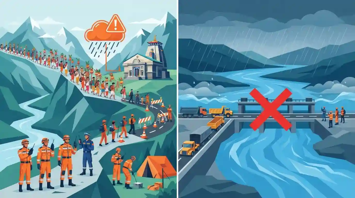
The Rudraprayag district administration in Uttarakhand has bolstered security, traffic control, and disaster management measures ahead of the annual Kanwar Yatra. Increased footfall at Kedarnath, combined with an IMD 'orange alert' for heavy rainfall, has necessitated the deployment of SDRF and NDRF personnel. Meanwhile, continuous rains in the Kumaon region have led to a sharp rise in the Sharda River's water level, prompting a temporary ban on heavy vehicle movement across the Banbasa Barrage in Champawat district.
Key Points
- The Rudraprayag administration has significantly increased security, traffic management, and disaster preparedness ahead of the Kanwar Yatra due to a surge in pilgrims heading to Kedarnath.
- The India Meteorological Department (IMD) has issued an orange alert warning of heavy to very heavy rainfall across Uttarakhand.
- Due to heavy rainfall in the Kumaon region and Nepal, the water level of the Sharda River has sharply risen, crossing the danger mark at the Banbasa Barrage in Champawat district.
- A temporary ban on the movement of heavy vehicles across the Banbasa Barrage was enforced by the administration as a precautionary measure.
Important Terms
India Meteorological Department (IMD)

The principal government agency under the Ministry of Earth Sciences responsible for meteorological observations, weather forecasting, and seismology. It issues crucial early warnings for severe weather events like heavy rainfall and cyclones.
UPSC context
Relevant to GS Paper 1 (Geography) and GS Paper 3 (Disaster Management). Tests knowledge of early warning systems and climate forecasting.
National Disaster Response Force (NDRF)
A specialized multi-skilled force constituted under the Disaster Management Act, 2005, for specialized response to natural and man-made disasters. It operates under the Ministry of Home Affairs.
UPSC context
Crucial for GS Paper 3 (Disaster Management). Highlights India's institutional framework, rapid disaster response mechanisms, and central-state coordination.
State Disaster Response Force (SDRF)
State-level specialized response forces created under the Disaster Management Act, 2005. They act as the first responders to state-notified disasters, providing localized emergency rescue and relief.
UPSC context
Essential for GS Paper 3 (Disaster Management). Covers the decentralized approach to disaster response and center-state resource cooperation.
Sharda River
A major Himalayan river originating as the Kali River in Uttarakhand. It flows along the India-Nepal border before entering Uttar Pradesh and merging with the Ghaghara River, a Ganga tributary.
UPSC context
Important for GS Paper 1 (Geography). Tests knowledge of Himalayan drainage systems, Indian river tributaries, and transboundary water geography.
Kanwar Yatra
An annual Hindu pilgrimage during the Shravan month where devotees travel to places like Haridwar and Gangotri to fetch holy water from the Ganges to offer at Shiva temples.
UPSC context
Relevant to GS Paper 1 (Art & Culture) and GS Paper 2 (Governance). Covers religious tourism and associated administrative challenges.
Prelims Trap
"Kedarnath is a major pilgrimage site located on the banks of the Alaknanda river."
Kedarnath is situated on the banks of the Mandakini river. It is Badrinath that is located along the banks of the Alaknanda river.
Static Concepts Connected
What are the key confluences (Panch Prayags) of the Alaknanda River in Uttarakhand?
- Vishnuprayag: Alaknanda meets the Dhauliganga river.
- Nandaprayag & Karnaprayag: Alaknanda meets the Nandakini and Pindar rivers, respectively.
- Rudraprayag: Alaknanda meets the Mandakini river, which flows down from Kedarnath.
- Devprayag: Alaknanda meets the Bhagirathi river to officially form the Ganga.
What do the IMD's colour-coded weather warnings signify for disaster management?
- Yellow (Be updated): Keep track of the worsening weather situation. Conditions may deteriorate.
- Orange (Be prepared): Severe weather expected with potential to disrupt transport and daily life; disaster agencies must ready relief measures.
- Red (Take action): Extreme weather expected with a high risk to life; immediate action and evacuations are required.
Cross-Topic Patterns
River borders & transit treaties
The Sharda (Mahakali) river's Banbasa Barrage highlights the intersection of natural riverine international borders with strategic transit infrastructure between India and Nepal.
Himalayan tourism vs carrying capacity
Surging footfall at Char Dham sites during monsoons frequently tests the ecological carrying capacity and disaster resilience of the fragile Garhwal Himalayas.

Expect a map-based Prelims question matching Himalayan shrines (Kedarnath, Badrinath) with their respective river valleys and glaciers.
Linked PYQs · 3
Linked PYQs · 3
- 2025UKPSC_PRELIMSGS1
Consider the following statements and select the correct answer from the options given below : Statement 1 : Uttarakhand is highly vulnerable to climate change. Statement 2 : Climate change is causing water stress and depleting biodiversity in Uttarakhand.
- 2025UKPSC_PRELIMSGS1
Which of the following is the correct order of rivers from west to east in Uttarakhand?
- 2025UKPSC_PRELIMSGS1
As per Uttarakhand Budget 2025-26, the amount allocated for Char Dham Road network improvement is
