Rudraprayag Administration Steps Up Disaster Preparedness
Source:aninews ↗
Why It Matters
Crucial for understanding disaster response, vulnerability mapping, and district-level mitigation strategies in the ecologically fragile Himalayan state of Uttarakhand.
Summary
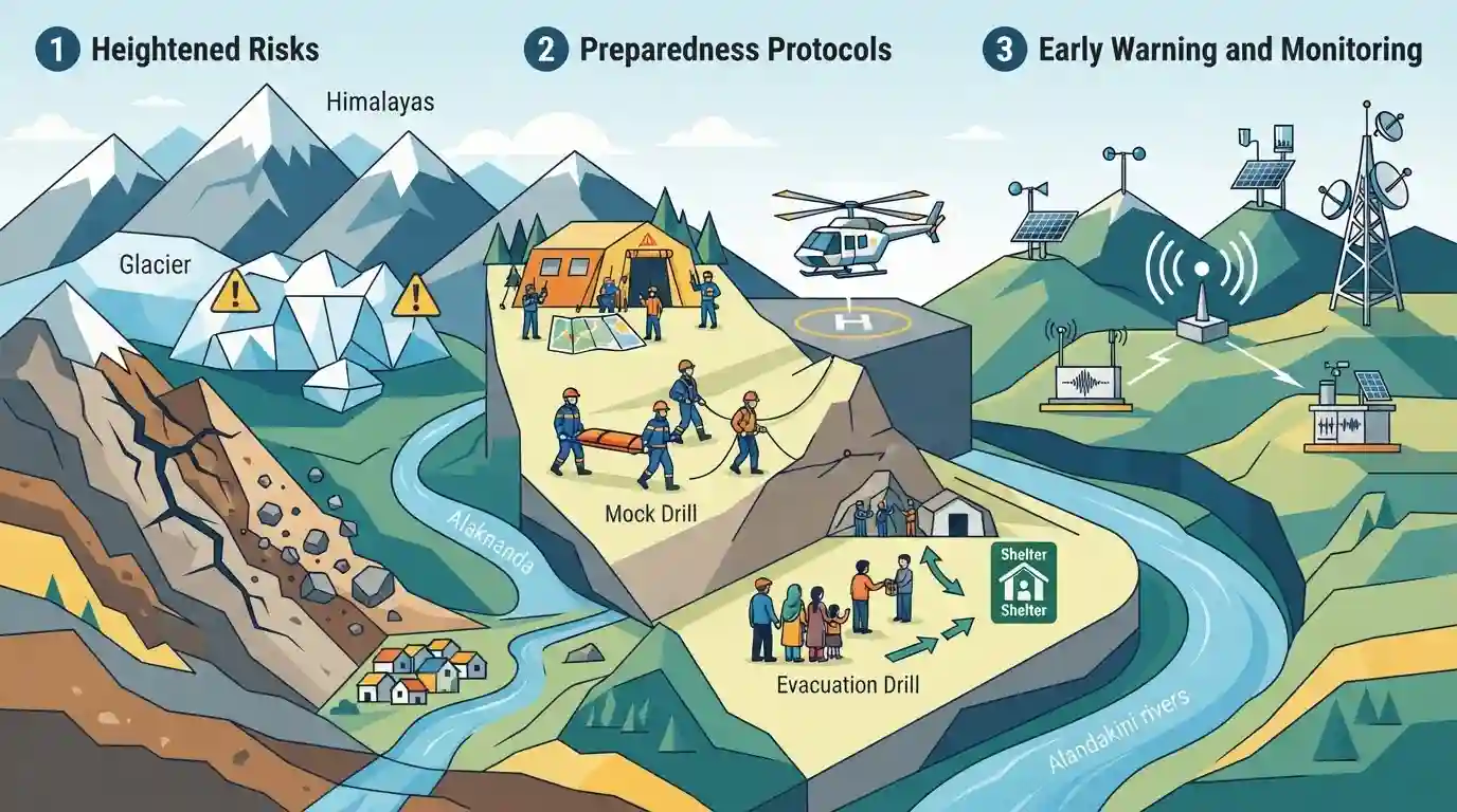
The district administration of Rudraprayag, Uttarakhand, has intensified disaster management and preparedness protocols following heightened risks of landslides and glacial bursts in the vulnerable Himalayan terrain.
Key Points
- The Rudraprayag district administration in Uttarakhand has stepped up disaster preparedness measures in response to increasing risks of glacial bursts and landslides.
- Vulnerable regions are being closely monitored to prevent loss of life and property given the fragile Himalayan ecosystem and erratic weather patterns.
- Local authorities are emphasizing proactive administrative measures, community awareness, and quick response systems for disaster mitigation.
Important Terms
Rudraprayag District Administration

The local governing body in Rudraprayag district responsible for coordinating emergency response, disaster management protocols, and mitigation strategies against geographical vulnerabilities like landslides and glacial bursts.
UPSC context
Important for UKPSC Paper V (Disaster Management in Uttarakhand) and local governance administrative frameworks.
Static Concepts Connected
What are the key river confluences (Panch Prayag) located in Uttarakhand along the Alaknanda river system?
- Rudraprayag Confluence: Rudraprayag is the confluence point of the Alaknanda and Mandakini rivers.
- Devprayag Origin: Devprayag is where Bhagirathi and Alaknanda merge to form the holy Ganga river.
- Other Prayags: Other major confluences include Vishnuprayag, Nandprayag, and Karnaprayag along the Alaknanda axis.
Cross-Topic Patterns
Glacial hazards meet Himalayan infrastructure planning
The convergence of river valley morphology and tectonic activity makes upper Mandakini and Alaknanda basins key case studies for disaster resilient infrastructure under National Mission on Himalayan Studies.

Expect match-the-following or statement questions on river confluences (Prayags) and high-altitude disaster vulnerability in Uttarakhand.
Linked PYQs · 3
Linked PYQs · 3
- 2025UKPSC_PRELIMSGS1
Consider the following statements and select the correct answer from the options given below : Statement 1 : Uttarakhand is highly vulnerable to climate change. Statement 2 : Climate change is causing water stress and depleting biodiversity in Uttarakhand.
- 2024UKPSC_PRELIMSGS1
'Untadhura Pass' is situated near which one of the following glaciers of Uttarakhand ?
- 2025UKPSC_PRELIMSGS1
Which of the following is the correct order of rivers from west to east in Uttarakhand?
