Red Alert in Seven Uttarakhand Districts as Landslides Disrupt Traffic
Source:The Hindu ↗
Why It Matters
Uttarakhand's young, fragile Himalayan geography makes it highly vulnerable to climate-induced heavy precipitation and landslides. This article highlights critical hydrological monitoring stations and confluences (such as Karnaprayag and Devprayag) and underscores the disaster management framework in Uttarakhand, both of which are high-yield areas for UKPSC PCS Prelims physical geography and environment sections.
Summary
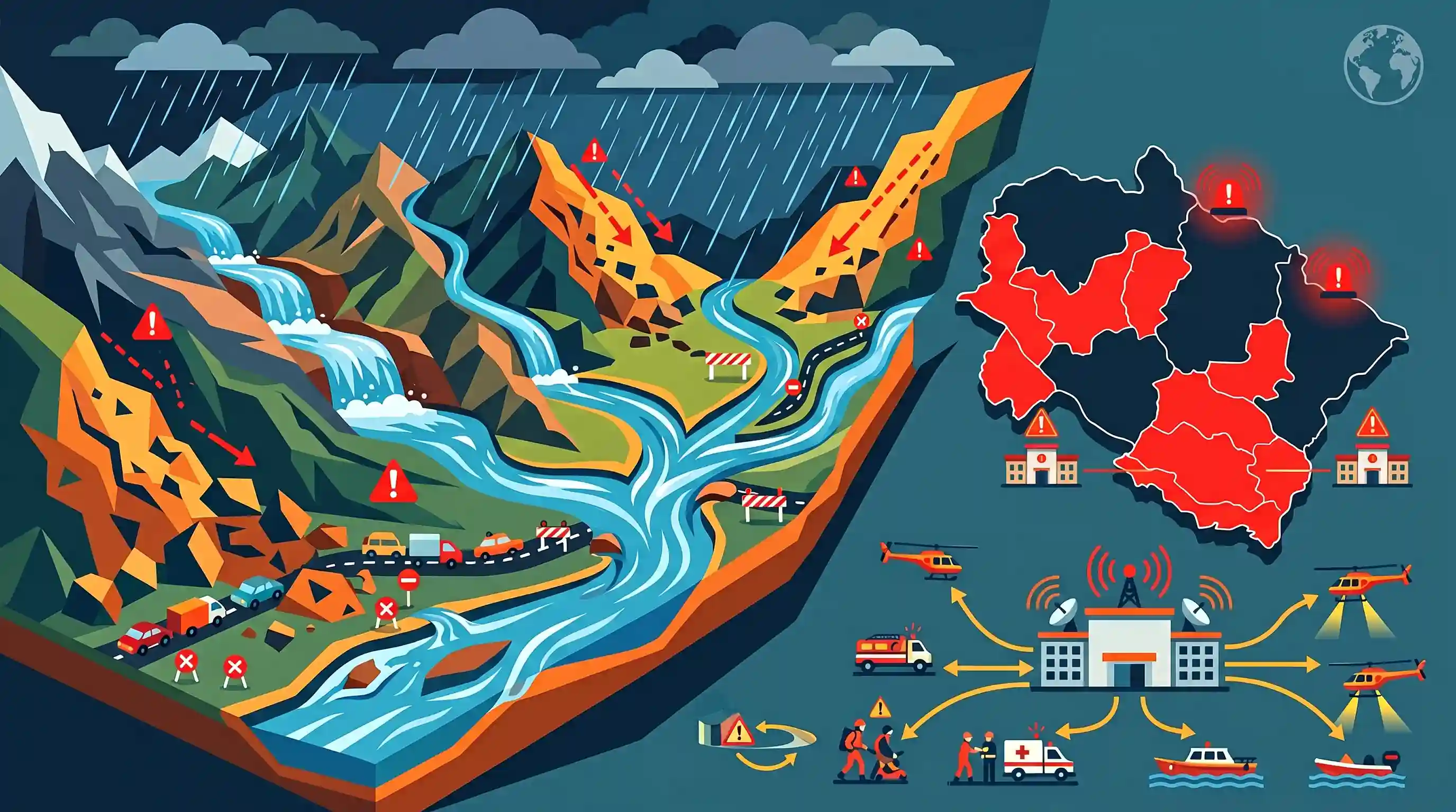
Heavy rains across Uttarakhand triggered landslide hazards and severe traffic disruptions on 107 routes, prompting a 'Red Alert' in seven districts including Dehradun, Tehri, and Nainital. Water levels in major Himalayan rivers—such as the Alaknanda, Pindar, Ganga, Kali, Saryu, and Gauri—are rising, prompting the State Emergency Operation Centre (SEOC) to put disaster response teams and district administrations on high alert.
Key Points
- The Dehradun-based Meteorological Centre issued a 'Red Alert' for seven districts (Dehradun, Tehri, Pauri, Haridwar, Udham Singh Nagar, Nainital, and Champawat) and an 'Orange Alert' for the remaining districts of Uttarakhand due to heavy and extremely heavy rainfall.
- Continuous rains triggered landslides and rockfalls across the state, disrupting traffic on 107 routes, including nine State Highways and one Border Roads Organisation (BRO) road.
- Water levels are rising across key Himalayan rivers and their tributaries, including the Alaknanda (at Srinagar), Pindar (at Karnaprayag), Ganga (at Devprayag and Rishikesh), Kali (at Dharchula), Saryu (at Pithoragarh), and Gauri (at Jauljibi).
- The State Emergency Operation Centre (SEOC) and Disaster Management Secretary Vinod Kumar Suman have placed district administrations and rescue teams on high alert, advising citizens and tourists to avoid traveling in landslide-prone and high-altitude areas.
Important Terms
India Meteorological Department (IMD)

India’s principal government agency under the Ministry of Earth Sciences, established in 1875, responsible for meteorological observations, weather forecasting, and seismology.
UPSC context
GS Paper I (climatology/monsoon patterns) and GS Paper III (disaster management and early warning systems).
Central Water Commission (CWC)
A premier technical organisation under the Ministry of Jal Shakti that coordinates schemes for the control, conservation, and utilization of water resources, including flood forecasting.
UPSC context
GS Paper III (water resource management, disaster management, and flood monitoring mechanisms).
Border Roads Organisation (BRO)
A road construction and maintenance force under the Ministry of Defence that develops strategic infrastructure in India's border areas and friendly neighboring nations.
UPSC context
GS Paper III (security challenges, border area development, and infrastructure connectivity).
State Emergency Operation Centre (SEOC)
A state-level central command hub equipped with ICT infrastructure to monitor disaster situations, disseminate warnings, and coordinate emergency response forces in real time.
UPSC context
GS Paper III (disaster response, institutional frameworks, and state-level crisis management).
Prelims Trap
The State Disaster Management Authority or Revenue Department is the nodal agency for the Uttarakhand Action Plan on Climate Change.
The State Forest Department, rather than the Revenue or Disaster Management Department, serves as the nodal agency for the Uttarakhand Action Plan on Climate Change (UAPCC).
Static Concepts Connected
What are the major river confluences and geographic sequences in the Uttarakhand Himalayas?
- West-to-East Sequence: The sequence of key rivers running West to East is Yamuna, Bhillangana, Alaknanda, Gori Ganga, Saryu, and Kali.
- Gobindghat Confluence: While Alaknanda forms the five sacred Panch Prayags, Gobindghat is situated at the non-prayag confluence of the Alaknanda and Lakshman Ganga (Bhyundar Ganga).
- Girthi River Basin: The Girthi River is a high-altitude tributary of the western Dhauli Ganga, heavily fed by the Kiogad stream.
How does the IMD color-coded weather warning system function?
- Green and Yellow: Green indicates no warning (no action required), and Yellow indicates 'Watch' (keep track of changing weather).
- Orange and Red: Orange indicates 'Alert' (be prepared for significant disruptions/evacuations) and Red indicates 'Warning' (take immediate protective action).
- Risk Framework: The warnings are based on the probability of occurrence joined with the severity of the expected hazard impact.
Cross-Topic Patterns
Himalayan Infrastructure vs. Slope Stability
Strategic border-road expansion in the geologically unstable Inner Himalayas collides with rising precipitation intensity, escalating landslides and testing disaster-resilient infrastructure frameworks.
Climate Hazards & Himalayan Pastoral Economy
Monsoonal hazards and erosion of alpine pastures (Bugyals) are rapidly dismantling pastoral livelihoods like sheep rearing, accelerating distress migration to plains.

Himalayan drainage sequences (West-to-East) and specific nodal agencies for state climate plans are highly probable prelims targets for 2026.
Linked PYQs · 3
Linked PYQs · 3
- 2025UKPSC_PRELIMSGS1
Which of the following is the correct order of rivers from west to east in Uttarakhand?
- 2012UKPSC_PRELIMSGS1
In which of the following rivers' confluence is Gobindghat located?
- 2025UKPSC_PRELIMSGS1
Consider the following statements and select the correct answer from the options given below : Statement 1 : Uttarakhand is highly vulnerable to climate change. Statement 2 : Climate change is causing water stress and depleting biodiversity in Uttarakhand.
