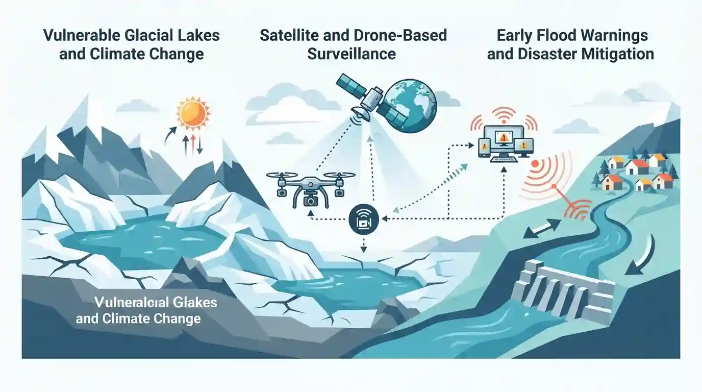
Uttarakhand plans satellite and drone surveillance for glacial lakes
Source:newindianexpress ↗
Why It Matters
Crucial for understanding disaster management strategies, early warning systems, and climate change adaptation in fragile Himalayan ecosystems like Uttarakhand.
Summary
The Uttarakhand government has planned satellite and drone-based surveillance of vulnerable glacial lakes in the state to enhance early flood warnings and disaster mitigation against potential Glacial Lake Outburst Floods (GLOFs).
Key Points
- Uttarakhand plans to deploy satellite and drone surveillance for monitoring glacial lakes across the state.
- The initiative aims to improve early warning systems and flood mitigation for flash floods and Glacial Lake Outburst Floods (GLOFs).
- This step is critical given the fragile ecology and high vulnerability of the Himalayan region to climate change-induced disasters.
Important Terms
Glacial Lake Outburst Floods (GLOFs)

Sudden release of large volumes of water from high-altitude glacial lakes due to structural failure of natural moraine dams, posing severe flood threats downstream.
UPSC context
Important for UKPSC Paper 3 (Disaster Management & Environment), testing understanding of Himalayan hazards, vulnerabilities, and early warning mitigation frameworks.
Early Warning System (EWS)
Advanced technological network deploying sensors, satellite remote sensing, and automated telemetry to provide real-time data and alerts prior to flash floods or GLOFs.
UPSC context
Essential for UKPSC disaster management syllabus, evaluating preventive measures and technological interventions to minimize loss of life in mountainous terrains.
Vasundhara Tal
High-altitude glacial water body located in Chamoli district where Uttarakhand installed its pioneering sensor-based GLOF early warning system.
UPSC context
Crucial for Uttarakhand state-specific current affairs and geography questions in UKPSC Prelims and Mains.
Prelims Trap
Uttarakhand solely finances the entire satellite and drone-based GLOF surveillance project from its state disaster response fund.
Aspirants often confuse NDMA's national mitigation projects with state-only funding; the Rs 150-crore National GLOF Risk Mitigation Project is centrally sponsored.
Static Concepts Connected
What are Glacial Lake Outburst Floods (GLOFs) and what causes them in the Himalayas?
- Definition & Trigger: Sudden release of water from a glacial lake dammed by moraine or ice, triggered by avalanches, earthquakes, or rapid melting.
- Himalayan Vulnerability: High-altitude Himalayan lakes are expanding rapidly due to accelerated global warming and retreating glaciers, increasing downstream flash flood risks.
Cross-Topic Patterns
Disaster Management + Space Technology Applications
Satellite and drone surveillance for GLOFs links state disaster mitigation directly with national ISRO space applications and NDMA guidelines.
Uttarakhand Geography + Climate Change Adaptation
Vasundhara Tal sensor systems and Wadia Institute research combine high-altitude Himalayan geology with state-specific climate adaptation frameworks.

Match high-risk GLOF sites (e.g., Vasundhara Tal) with executing bodies (NDMA, Wadia Institute) in matching-list questions.
Linked PYQs · 1
Linked PYQs · 1
- 2025UKPSC_PRELIMSGS1
Consider the following statements and select the correct answer from the options given below : Statement 1 : Uttarakhand is highly vulnerable to climate change. Statement 2 : Climate change is causing water stress and depleting biodiversity in Uttarakhand.
