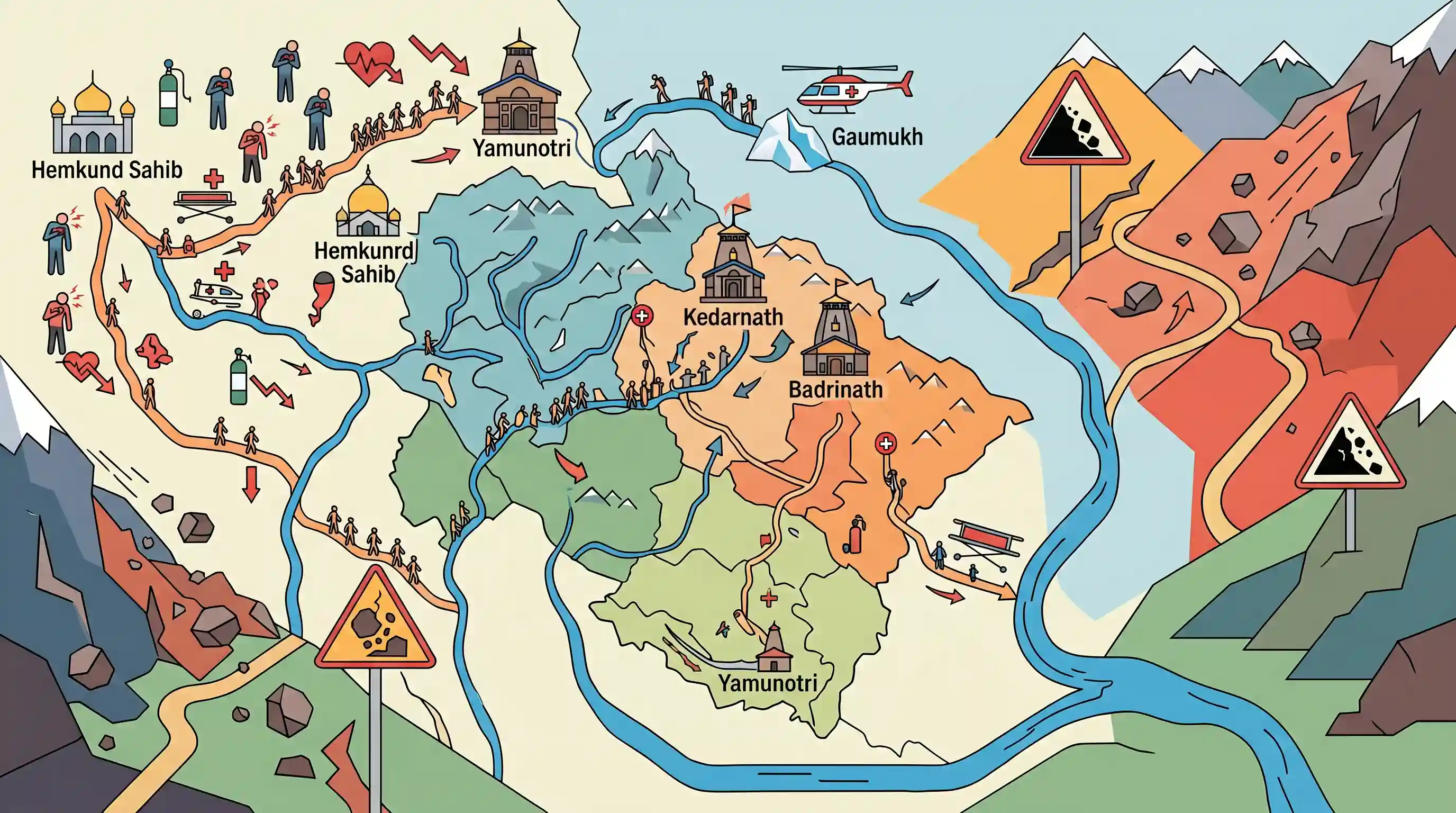
Over thirty lakh pilgrims visit Uttarakhand Char Dham shrines
Source:newsarenaindia ↗
Why It Matters
The Char Dham Yatra is a major socio-religious event in Uttarakhand that poses severe administrative, geographical, and health management challenges. Understanding the exact locations, district boundaries, and river origins associated with these shrines (such as the source of the Bhagirathi River at Gaumukh and the west-to-east ordering of rivers) is highly frequently tested in the UKPSC PCS Prelims.
Summary
The article highlights the high footfall and concurrent challenges of the Char Dham Yatra in Uttarakhand. Over 31 lakh pilgrims visited the major shrines of Kedarnath, Badrinath, Yamunotri, Gangotri, and Hemkund Sahib. However, the pilgrimage saw 161 fatalities, mainly driven by medical emergencies and cardiac arrests associated with high altitude, as well as environmental hazards like falling boulders in the fragile Himalayan terrain of Chamoli district. Additionally, thousands trekked to Gaumukh, the geographical source of the Bhagirathi River.
Key Points
- Over 31.24 lakh pilgrims visited the Char Dham shrines (Kedarnath, Badrinath, Yamunotri, Gangotri) and Hemkund Sahib.
- A total of 161 pilgrim deaths were recorded during this period, out of which 152 were due to medical complications, highlighting severe high-altitude health challenges like cardiac arrest and altitude sickness.
- Shrine-wise death toll was highest at Yamunotri (78), followed by Kedarnath (47), Badrinath (20), and Gangotri (16).
- Gaumukh, the glacier source of the Bhagirathi River, was visited by 4,697 trekkers.
- The famous Sikh pilgrimage site of Hemkund Sahib in Chamoli district recorded over 1.05 lakh visitors.
- Fragile Himalayan terrain hazards were highlighted by a fatal boulder-fall incident in Chamoli district that killed a pilgrim from Delhi.
Important Terms
Char Dham Yatra

The sacred pilgrimage circuit in the Garhwal Himalayas of Uttarakhand, comprising four holy Hindu shrines: Yamunotri, Gangotri, Kedarnath, and Badrinath, typically visited from west to east during summer and autumn.
UPSC context
GS Paper I (Indian Culture & Geography) — Tests understanding of prominent pilgrimage circuits, river systems, and cultural geography.
State Disaster Response Force (SDRF)
A specialized state-level disaster response force in India, formed under the Disaster Management Act, 2005, tasked with conducting immediate search, rescue, and relief operations during regional calamities.
UPSC context
GS Paper III (Disaster Management) — Tests knowledge of regional response mechanisms, institutional frameworks, and disaster relief.
Gaumukh
The snout of the Gangotri Glacier in Uttarkashi district, Uttarakhand, which is geographically recognized as the precise physical origin and source of the Bhagirathi River.
UPSC context
GS Paper I (Physical Geography) — Tests concepts of glacial geomorphology, major river origins, and drainage system mapping.
Bhagirathi River
A major Himalayan headstream of the Ganga originating at Gaumukh in Uttarakhand, which merges with the Alaknanda River at Devprayag to officially form the Ganges.
UPSC context
GS Paper I (Indian Geography) — Evaluates understanding of the Himalayan river systems, confluences, and drainage basins.
Uttarakhand Tourism Development Board (UTDB)
A statutory apex body established under the UTDB Act, 2001, responsible for formulating policies, promoting sustainable tourism, and managing pilgrimage circuits in Uttarakhand.
UPSC context
GS Paper III (Infrastructure & Economics) — Examines state policies for sustainable regional tourism and economic growth.
Prelims Trap
The geographic sequence of the Char Dham shrines from west to east is Yamunotri, Kedarnath, Gangotri, and Badrinath.
The actual spatial alignment from west to east is Yamunotri -> Gangotri -> Kedarnath -> Badrinath. Candidates often wrongly swap Gangotri and Kedarnath.
Static Concepts Connected
What are the key confluences of the Alaknanda river basin (Panch Prayag)?
- Devprayag: The final confluence where Bhagirathi (originating at Gaumukh/Gangotri) meets Alaknanda to officially form the Ganga River.
- Rudraprayag: The junction where Alaknanda meets Mandakini, the river flowing down from the Kedarnath shrine.
- Upper Prayags: The remaining three upstream confluences where Alaknanda meets Dhauliganga (Vishnuprayag), Nandakini (Nandaprayag), and Pindar (Karnaprayag).
What geological factors make the Garhwal Himalayas highly susceptible to landslides?
- Tectonic Instability: Located along the active collision zone of the Indian and Eurasian plates, leading to heavy rock fracturing and seismicity.
- Lithological Fragility: The slopes consist of young, weakly consolidated sedimentary and metamorphic rocks that easily shear under gravity.
- Hydrological Triggers: High-intensity monsoon rainfall and cloudbursts rapidly saturate the soil, triggering catastrophic debris flows and boulder falls.
Cross-Topic Patterns
Carrying capacity vs Eco-tourism
Unregulated religious tourism surges challenge fragile mountain ecosystems, necessitating scientific carrying-capacity assessments before granting mass access.
Infrastructure vs Slope stability
Broadening alpine highways for pilgrimage access triggers chronic slope failures, demonstrating the conflict between infrastructure development and ecological preservation.

West-to-east spatial sequencing of Ganga tributaries and Char Dham shrines likely to be integrated with Himalayan landslide risks in 2026.
Linked PYQs · 3
Linked PYQs · 3
- 2007UKPSC_PRELIMSGS1
Bhagirathi river originates from?
- 2025UKPSC_PRELIMSGS1
Which of the following is the correct order of rivers from west to east in Uttarakhand?
- 2024UKPSC_PRELIMSGS1
Durmital is located in which of the following district of Uttarakhand ?
