Udham Singh Nagar geography and Baur reservoir administration
Source:newindianexpress ↗
Why It Matters
The political visit highlights Udham Singh Nagar and the Baur Reservoir at Gularbhoj. For UKPSC Prelims, the geographical features of the Tarai region (where Udham Singh Nagar has the state's highest net agricultural land), regional water bodies like the Baur River/reservoir, and demographic characteristics are highly repetitive areas of questioning.
Summary
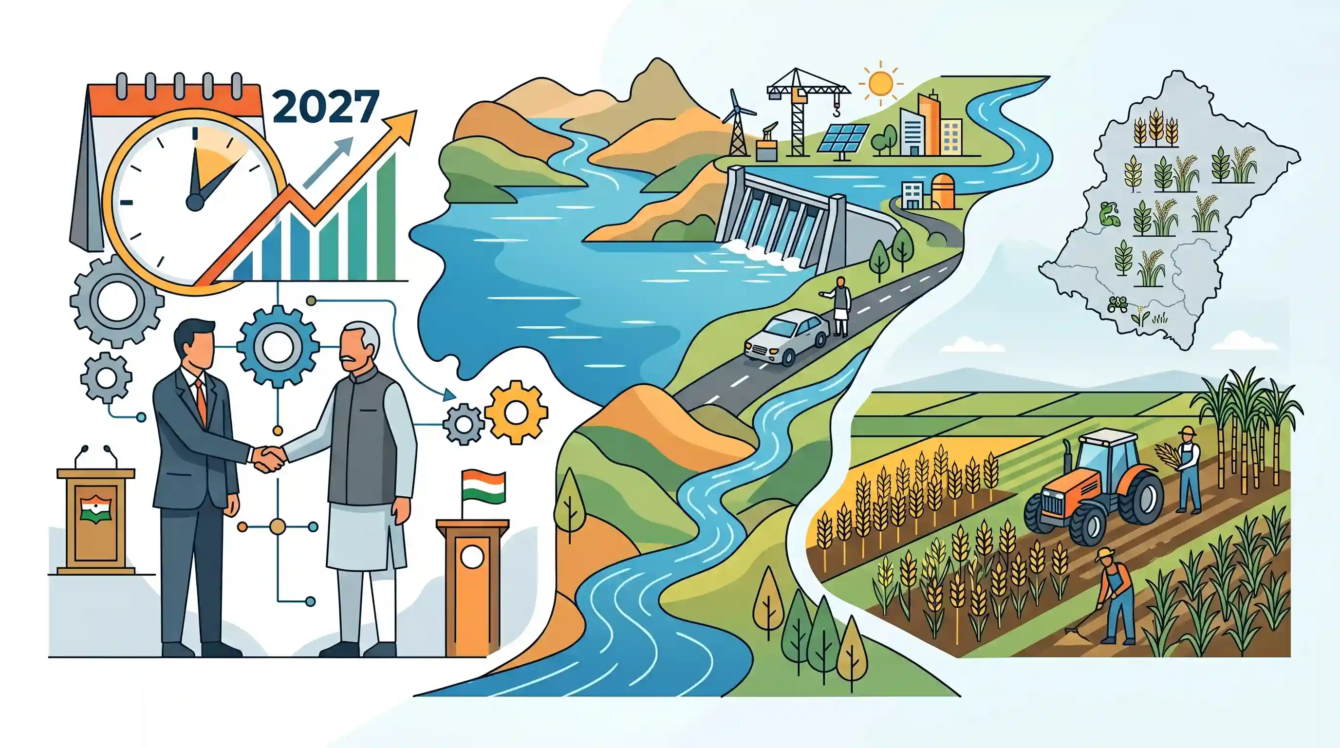
Uttarakhand Chief Minister Pushkar Singh Dhami visited the Gadarpur Assembly constituency in Udham Singh Nagar to meet with BJP MLA Arvind Pandey, initiating a damage-control and coordination process ahead of the 2027 assembly elections. Along the way, the Chief Minister visited the Baur Reservoir at Gularbhoj, emphasizing the area's development. This political event spotlights Udham Singh Nagar district, which is a major agricultural and geographic hub in the Terai region of southern Uttarakhand.
Key Points
- Uttarakhand Chief Minister Pushkar Singh Dhami visited the Gadarpur Assembly constituency in Udham Singh Nagar district to hold a closed-door meeting with BJP MLA Arvind Pandey, reflecting early political damage-control ahead of the 2027 assembly elections.
- En route to Khatima, the Chief Minister stopped at the Baur Reservoir located in Gularbhoj, where he took a motorboat ride with the local MLA, highlighting the site's significance for tourism and local water resources in the Terai region.
- The political outreach follows warnings from senior BJP central leaders, including Nitin Nabin, advising state functionaries to resolve internal party grievances strictly within official party platforms rather than airing them publicly.
- Udham Singh Nagar district is a crucial region in Uttarakhand, characterized by its fertile Terai plains, high agricultural output, and distinct demographic features.
Important Terms
Terai Region

A low-lying, marshy, and highly fertile lowland belt situated south of the Shivalik foothills and north of the Indo-Gangetic Plain, characterized by fine alluvial deposits and waterlogged conditions.
UPSC context
GS Paper I (Physical Geography) & GS III (Agriculture). Tests knowledge of India's physiographic divisions and key agricultural zones.
Bharatiya Janata Party (BJP)
One of India’s two major national political parties, advocating for a right-wing, nationalist ideology, and currently serving as the ruling party at the Union level and in Uttarakhand.
UPSC context
GS Paper II (Polity & Governance). Tests understanding of political parties, electoral dynamics, and the federal structure of India.
Rashtriya Swayamsevak Sangh (RSS)
A right-wing Hindu nationalist volunteer organization in India, founded in 1925, which acts as the ideological and organizational parent to the ruling Bharatiya Janata Party (BJP).
UPSC context
GS Paper II (Polity & Governance). Tests knowledge of influential civil society groups and ideological movements in Indian polity.
Baur Reservoir
An irrigation and eco-tourism reservoir in Udham Singh Nagar district, Uttarakhand, impounded by the Baur Dam across the Baur and Kakrala rivers within the Ganga River basin.
UPSC context
GS Paper I (Physical Geography). Tests regional river systems, wetland ecosystems, and water resource management in Uttarakhand.
Udham Singh Nagar
A highly fertile, agriculturally and industrially developed district in the southern Terai region of Uttarakhand, named after the legendary Indian freedom fighter Shaheed Udham Singh.
UPSC context
GS Paper I (History/Geography) & GS III (Agriculture). Tests regional geography, freedom movement figures, and crop production.
Prelims Trap
From North to South, the sub-Himalayan tract progresses sequence-wise from the Shiwaliks to the Tarai belt, and then to the Bhabar belt.
The Bhabar belt (coarse boulders, dry streams) lies immediately south of the Shiwalik foothills, while the wet, clayey Tarai belt lies further south. The sequence is frequently reversed in trap questions.
Static Concepts Connected
What are the geographical differences between the Bhabar and Tarai tracts?
- Bhabar Belt: Located immediately south of the Shiwaliks; composed of coarse pebbles and gravel where Himalayan rivers deposit load and temporarily disappear underground due to high porosity.
- Tarai Belt: Located south of the Bhabar; a low-lying, marshy, and damp tract with fine clayey soils where the underground streams re-emerge, making it highly fertile.
Who are the Tharu and Buksa tribes of Uttarakhand?
- Tharu Tribe: The largest Scheduled Tribe in Uttarakhand, concentrated in the Terai region of Udham Singh Nagar; historically known for matrilineal customs and agricultural practices.
- Buksa (Bhoksa) Tribe: A small tribal group in the same region, officially designated as a Particularly Vulnerable Tribal Group (PVTG) in Uttarakhand due to low literacy and economic vulnerability.
Cross-Topic Patterns
Himalayan hydrology + Micro-irrigation connectivity
Interlinking local reservoirs via cuts (like Baur-Haripura) highlights how sub-Himalayan micro-canal networks are critical to managing extreme seasonal runoff in highly permeable transition zones.
Demographic paradox + Regional economic development
Udham Singh Nagar showcases a classic development paradox where top-tier agricultural and industrial GDP coexists with the state's lowest literacy rate, indicating uneven social-capital distribution.

Himalayan transition zones (Bhabar-Tarai) paired with Tharu/Buksa PVTG demographic profiles are high-value targets for GS-1 prelims.
Linked PYQs · 4
Linked PYQs · 4
- 2025UKPSC_PRELIMSGS1
Which of the following districts of Uttarakhand has the highest agricultural land ?
- 2024UKPSC_PRELIMSGS1
Which of the following stream is the tributary of Girthi river in Uttarakhand ?
- 2024UKPSC_PRELIMSGS1
Districts are arranged in ascending order in terms of female literacy rate. Choose the correct option :
- 2025UKPSC_PRELIMSGS1
Which of the following is the correct order of the following physiographic regions of Uttarakhand from south to north direction?
