UP launches Digi Rover GNSS campaign for precision land measurement
Source:newsonair ↗
Why It Matters
Land disputes constitute a major source of litigation in rural India. Deploying high-precision GNSS technology in a state-wide campaign represents a significant leap in using digital and satellite tools to streamline land records, reduce disputes, and improve local governance transparency.
Summary
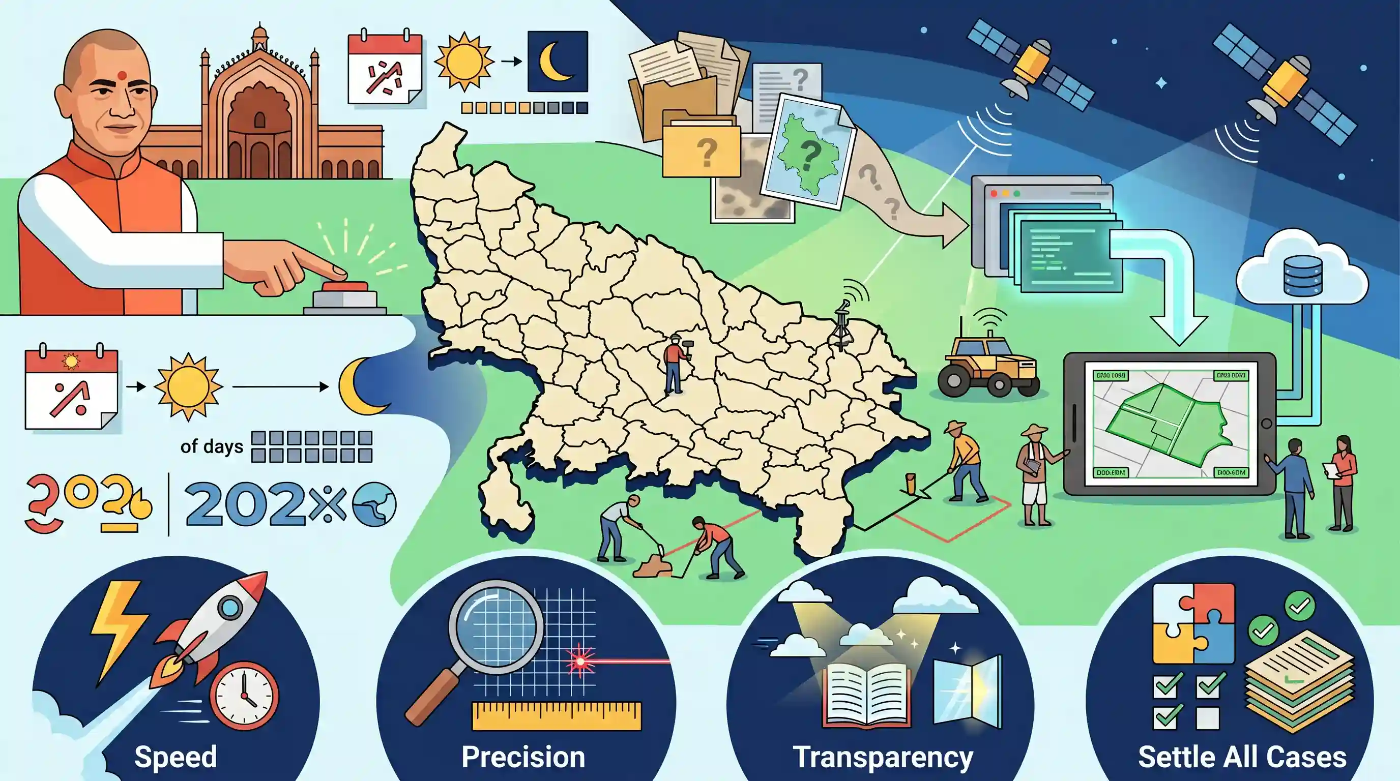
The Uttar Pradesh government has launched the statewide 'Digi Rover-GNSS Special Land Measurement Campaign' (running from July 1 to August 15, 2026). Launched by Chief Minister Yogi Adityanath in Saharanpur, this initiative employs advanced Global Navigation Satellite System (GNSS) technology to settle all pending land demarcation and measurement cases in every tehsil across the state, ensuring speedy, precise, and transparent land administration.
Key Points
- On July 1, 2026, the Uttar Pradesh government launched a statewide Digi Rover-GNSS Special Land Measurement Campaign, which will run until August 15, 2026.
- The initiative was launched by Chief Minister Yogi Adityanath from Saharanpur.
- The main objective is to resolve all pending land demarcation and measurement disputes in every tehsil across Uttar Pradesh in a transparent, time-bound, and 'mission mode' manner.
- The campaign leverages Digi Rover devices equipped with Global Navigation Satellite System (GNSS) technology for high-precision, error-free, and rapid land mapping.
- Chief Minister Yogi Adityanath directed all Divisional Commissioners, District Magistrates, and revenue officials to ensure the campaign's benefits reach all eligible citizens fairly.
Important Terms
Digi Rover-GNSS Special Land Measurement Campaign

A digital land-survey drive in Uttar Pradesh (July 1 to August 15, 2026) using high-precision satellite-based GNSS rovers to resolve long-pending boundary and demarcation cases across all state tehsils.
UPSC context
GS Paper II & III (E-Governance/Land Reforms). Tests application of digital technologies in improving governance and resolving local disputes.
Global Navigation Satellite System (GNSS)
A network of satellite constellations providing global geospatial positioning with high-precision coordination, essential for real-time navigation, mapping, and precise land surveying.
UPSC context
GS Paper III (Science & Technology). Tests awareness of space-based technology applications and their role in developmental administration.
Land Demarcation
The legal and physical process of marking boundaries and surveying a parcel of land to define ownership limits, crucial for preventing property disputes and maintaining accurate revenue records.
UPSC context
GS Paper III (Land Reforms/Agriculture). Tests understanding of local administrative challenges, rural land disputes, and e-governance solutions.
Digital India Land Records Modernization Programme (DILRMP)
A Central Sector scheme launched in 2008 to digitize land records, computerize property registration, and establish transparent land-titling systems with conclusive title guarantees across India.
UPSC context
GS Paper II & III. Highly relevant to digital public infrastructure, modernization of land records, and agricultural productivity.
Land Reforms
Legal and policy measures—such as abolishing intermediaries, imposing land ceilings, consolidating holdings, and digitizing records—designed to ensure equitable land distribution and boost agrarian productivity.
UPSC context
GS Paper III (Indian Economy & Agriculture). Core topic analyzing the historical and modern path of equity and efficiency in rural India.
Prelims Trap
The Continuously Operating Reference Stations (CORS) network is established and operated entirely by the Indian Space Research Organisation (ISRO).
The CORS network, which delivers centimeter-level positioning accuracy for campaigns like Digi-Rover and SVAMITVA, was established and is maintained by the Survey of India (SoI), not ISRO.
Static Concepts Connected
What is the Continuously Operating Reference Stations (CORS) network?
- Working Mechanism: Uses permanently installed, high-precision GNSS receivers that continuously track satellite signals to calculate positioning corrections.
- Accuracy Enhancement: Reduces standard GPS/GNSS errors caused by atmospheric delays, boosting positioning accuracy down to +/- 3 centimeters in real time.
- Nodal Agency: Established and operated by the Survey of India (SoI) under the Ministry of Science and Technology to provide nationwide geospatial control.
What is the Digital India Land Records Modernization Programme (DILRMP)?
- Core Objective: A central sector scheme aimed at digitizing land records, cadastral maps, and integrating registration with land revenue databases.
- Conclusive Titling: Aims to transition India from a presumptive land titling system to a secure, state-guaranteed conclusive land titling system.
- Socio-economic Benefit: Reduces civil litigation, prevents fraudulent land transactions, and drastically cuts down the time required to acquire land certificates.
Cross-Topic Patterns
GNSS mapping + Rural credit access
Precise digital land demarcation resolves long-standing ownership disputes, allowing banks to accept undisputed land parcels as collateral, unlocking formal credit for smallholders.
Spatial Tech + Inter-state land management
Utilizing CORS-based high-precision boundaries in multi-state border districts like Saharanpur standardizes spatial data, reducing localized inter-state and inter-district boundary encroachments.

Mains 2026: Expect questions on how CORS-enabled GNSS technology acts as a catalyst in transitioning India to a conclusive land titling system.
Linked PYQs · 2
Linked PYQs · 2
- 2021UPPSC_PRELIMSGS1
Which of the following Schemes in Uttar Pradesh were introduced in Budget of 2021-22? I. Atmanirbhar Krishak Samanvit Vikas Yojna II. Mukhya Mantri Saksham Suposhan Yojna III. Mukhya Mantri Pravasi Shramik Udyamita Vikas Yojna IV. Yuva Udyamita Vikas Abhiyan Select the correct answer from the codes given below.
- 2025UPPSC_PRELIMSGS1
Which of the following districts of Uttar Pradesh shares its boundary with only one other district of Uttar Pradesh ? 1. Lalitpur 2. Saharanpur 3. Sonbhadra Select the correct answer from the code given below :
