Camel mission, Darjeeling landslides and Sudarshan Chakra
Source:Indian Express ↗
Why It Matters
Understanding the socio-economic dynamics of pastoralism and livestock rearing is critical for rural development policies. Analyzing the causes of landslides in the Himalayas is vital for disaster risk reduction and resilient infrastructure planning, both being recurring themes in the UPSC syllabus.
Summary
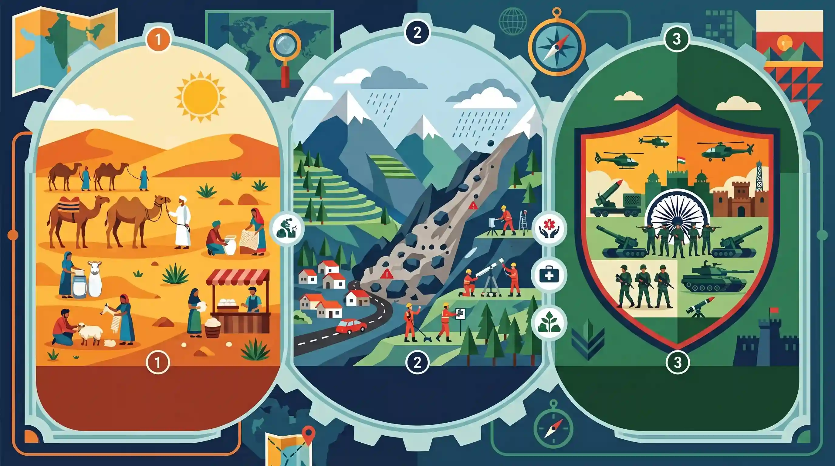
This edition of the UPSC Key highlights three diverse topics crucial for civil services preparation: the National Camel Mission, highlighting the socio-economic and ecological importance of livestock rearing in arid zones; the recurring and devastating landslides in the Darjeeling Himalayas, focusing on disaster management and sustainable development in fragile ecosystems; and Mission Sudarshan Chakra, pertaining to national security and defense preparedness.
Key Points
- The National Camel Mission aims to protect the dwindling camel population, promote camel-based products like milk for their nutritional value, and support the livelihoods of pastoral communities in arid regions.
- Recent landslides in the Darjeeling Himalayan region underscore its severe vulnerability caused by a combination of steep, fragile geology, extreme rainfall events, and unplanned infrastructure development.
- Effective mitigation of Himalayan landslides necessitates micro-zonation mapping, sustainable hill-town planning, early warning systems, and afforestation.
- Mission Sudarshan Chakra involves strategic preparedness, coordination, and security operations to bolster India's defense and internal security apparatus.
Important Terms
National Camel Mission

A multi-ministerial initiative launched in 2025 to reverse the decline of India's camel population through rangeland restoration, market certification for camel milk, and pastoralist support.
UPSC context
GS Paper III (Agriculture/Livestock); tests knowledge of livestock-based livelihoods and ecological conservation in arid zones.
Mission Sudarshan Chakra
A comprehensive AI-enabled, multi-layered national security architecture announced in 2025, integrating surveillance, missile defense (Project Kusha), and cyber protection into a singular defense shield.
UPSC context
GS Paper III (Internal Security/Defense); critical for topics on indigenization of technology and modernizing border defense.
National Landslide Risk Management Strategy
A policy framework addressing landslide hazard mapping, monitoring, and early warning systems, spearheaded by the NDMA to reduce vulnerability in fragile ecosystems like the Himalayas.
UPSC context
GS Paper III (Disaster Management); tests understanding of structural and non-structural mitigation strategies for mountainous terrain.
Project Kusha
An indigenous long-range air defense system (LR-SAM) under Mission Sudarshan Chakra, designed by DRDO to detect and destroy enemy aircraft and missiles at long ranges.
UPSC context
GS Paper III (Science & Technology/Defense); relevant for questions on Atmanirbhar Bharat and air superiority.
Geological Survey of India (GSI)
The nodal agency for landslide studies in India, responsible for the National Landslide Susceptibility Mapping (NLSM) and developing regional early warning systems.
UPSC context
GS Paper I (Geography/Disasters); tests knowledge of institutional roles in geological hazard assessment.
National Disaster Management Authority (NDMA)
The apex body for disaster management in India, chaired by the Prime Minister, mandated to frame policies and guidelines for effective disaster response and mitigation.
UPSC context
GS Paper II (Governance) and III (Disaster Management); central to administrative and disaster response frameworks.
Prelims Trap
Mission Sudarshan Chakra is a water conservation initiative or a domestic anti-insurgency operation.
The name historically echoes Sudarshan Lake (irrigation), but this is actually a 10-year (2025-2035) initiative for an indigenous, AI-enabled air and missile defense shield.
Static Concepts Connected
Why are the Himalayas more prone to landslides compared to the Western Ghats?
- Tectonic Instability: The Himalayas are young fold mountains on an active convergent plate boundary, whereas the Western Ghats sit on a stable continental shield.
- Rock Composition: The Himalayas largely consist of weak, unconsolidated sedimentary rocks, which easily shear, unlike the hard, resilient basaltic rocks of the Ghats.
- Steep Gradients: The extremely steep gradients of the Himalayas combined with heavy monsoon downpours generate high debris mobility and catastrophic slope failures.
What are the key ecological and regulatory facts regarding camels in India?
- Severe Decline: The population plummeted from 11 lakh in 1977 to roughly 2.5 lakh in 2019, with 90% concentrated in the arid zones of Rajasthan and Gujarat.
- Unique Breeds: The Kharai camel of Gujarat is uniquely adapted to coastal ecosystems; it swims in seawater to graze on saline mangrove forests.
- Legal Status: Rajasthan declared the camel its State Animal in 2014, enacting strict legislation to prohibit its slaughter and regulate its transport across borders.
Cross-Topic Patterns
Himalayan Ecology vs. Infrastructure
The Darjeeling landslide crisis mirrors the recent glacial lake outburst flood (GLOF) risks in Sikkim, highlighting the ongoing conflict between fragile Himalayan geology and unplanned infrastructure or hydropower development.
Indigenization of Missile Defense
Mission Sudarshan Chakra connects to the broader Atmanirbhar Bharat push in defense, marking a shift from imported systems like the S-400 to domestic, AI-integrated multi-layered shields.

Mission Sudarshan Chakra's focus on an AI-driven missile shield will likely feature in Prelims matching questions or Mains GS3 security.
Linked PYQs · 5
Linked PYQs · 5
- 2015MainsGS3
Livestock rearing has a big potential for providing non-farm employment and income in rural areas. Discuss suggesting suitable measures to promote this sector in India.
- 2016MainsGS1
The Himalayas are highly prone to landslides. Discuss the causes and suggest suitable measures of mitigation.
- 2021MainsGS1
Differentiate the causes of landslides in the Himalayan region and Western Ghats.
- 2021MainsGS3
Describe the various causes and the effects of landslides. Mention the important components of the National Landslide Risk Management Strategy.
- 2019MainsGS3
Disaster preparedness is the first step in any disaster management process. Explain how hazard zonation mapping will help disaster mitigation in the case of landslides.
