United Nations boundary maps and India territorial sovereignty
Source:Indian Express ↗
Why It Matters
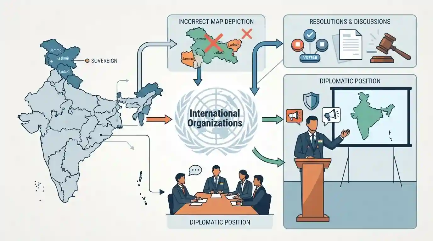
It highlights India's continuous diplomatic efforts to safeguard its territorial integrity and sovereignty on international platforms, countering erroneous mapping or representation of sensitive regions like Jammu and Kashmir and Ladakh by global bodies like the UN.
Summary
This article examines India's diplomatic position and concerns regarding resolutions and cartographic depictions of its boundaries—specifically Jammu, Kashmir, and Ladakh—by international organizations like the United Nations.
Key Points
- India has consistently raised concerns over the depiction of its external boundaries, particularly regarding Jammu & Kashmir and Ladakh, in UN cartographic materials and world map resolutions.
- Such discrepancies in international bodies challenge national sovereignty and territorial integrity, prompting strong diplomatic pushback from New Delhi.
- India maintains a firm stance that the entire Union Territories of Jammu & Kashmir and Ladakh are and have always been an integral and inalienable part of India.
Important Terms
United Nations

An international organization founded in 1945, committed to maintaining international peace and security, developing friendly relations among nations, and promoting international cooperation.
UPSC context
UPSC CSE Paper II (International Relations): Tests understanding of multilateral organizations, India's diplomatic engagement, and voting behavior at global bodies.
United Nations General Assembly
The principal deliberative, policymaking, and representative organ of the United Nations, where all 193 Member States have equal representation in discussions.
UPSC context
UPSC CSE Paper II (International Relations): Tests knowledge of UN organs, resolutions, and international consensus-building on global governance and cartography.
Equal Earth Projection
A cartographic projection developed in 2018 that accurately preserves the proportional size of continental landmasses, promoted by a UN General Assembly resolution to replace skewed representations.
UPSC context
UPSC CSE Paper I/II (Geography / International Relations): Tests awareness of cartographic standards, global equity initiatives, and geographic data presentation.
Territorial Sovereignty and Cartographic Depiction
India's official position asserting absolute jurisdiction over its internationally recognized boundaries, rejecting any international map depiction that excludes Jammu & Kashmir and Ladakh.
UPSC context
UPSC CSE Paper II (International Relations - India and its Neighborhood): Tests India's core national security and territorial integrity stances in global forums.
Prelims Trap
UN resolutions on cartographic representations authenticate or modify external boundary claims of member states.
UN cartographic resolutions (such as those promoting equal-area map projections) aim to correct geographical size distortions, not to validate or alter member states' political boundaries.
Static Concepts Connected
How does the United Nations prepare and utilize official cartographic materials and maps?
- UN Guidelines: Standard practice relies on UN Cartographic Section guidelines to maintain neutrality on disputed territories.
- Disclaimer Notes: Disclaimer notes are often appended to maps stating that designations do not imply official endorsement by the UN.
- Member Protests: Member states regularly issue demarches or formal protests against any depiction inconsistent with their sovereign claims.
Cross-Topic Patterns
UN Cartography & Territorial Sovereignty Disputes
UN cartographic standards and map resolutions intersect with sovereign territorial disputes, forcing India to balance multilateral participation with strict bilateral boundary protection.
Cartographic Projections & Global South Advocacy
The push for equal-area map projections corrects historical Mercator bias, bringing developing regions' true landmass into focus within international bodies.

UN map projection resolutions vs political boundary recognition will feature in a statement-based IR prelims question.
Linked PYQs · 1
Linked PYQs · 1
- 2025MainsGS2
Discuss the nature of Jammu and Kashmir Legislative Assembly after the Jammu and Kashmir Reorganization Act, 2019. Briefly describe the powers and functions of the Assembly of the Union Territory of Jammu and Kashmir.
