UN World Map Resolution and India Territorial Sovereignty Stance
Source:Indian Express ↗
Why It Matters
This development highlights India's active participation in global multilateral forums while firmly safeguarding its core national interests, territorial integrity, and official stance on disputed sovereign territories like Jammu and Kashmir and Ladakh.
Summary
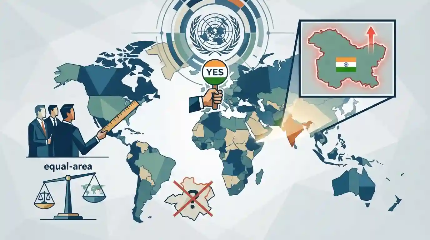
India voted in favour of a UN General Assembly resolution promoting equal-area world map projections while issuing a clear caveat that the resolution does not authenticate political borders or boundaries. The Ministry of External Affairs reiterated that India's sovereignty over Jammu and Kashmir and Ladakh is non-negotiable and must be accurately represented according to India's official national maps in any global cartographic depiction.
Key Points
- India voted in favour of a UN General Assembly resolution promoting equal-area world map projections ('Correct the Map').
- The MEA clarified that the resolution is restricted to cartographic projection scaling and does not endorse political cartography, international boundaries, or disputed territories.
- India firmly asserted that any depiction of its sovereign territory, including Jammu & Kashmir and Ladakh, must strictly follow official Indian maps, rejecting any inaccurate representation.
- The resolution sponsored by Togo passed with 164 votes in favour, abstentions from several European nations, and a single vote against from the United States.
Important Terms
Correct the Map Resolution

A UN General Assembly resolution encouraging the adoption of equal-area map projections, such as the Equal Earth projection, to correct historical cartographic distortions that diminish the perceived size of Africa and equatorial regions.
UPSC context
GS Paper II (International Relations, UN bodies). Tests understanding of international diplomacy, global equity, and India's territorial sovereignty caveats.
United Nations General Assembly
The principal deliberative, policymaking, and representative organ of the United Nations, comprising all 193 member states, which adopts resolutions and makes recommendations on international issues.
UPSC context
GS Paper II (International Relations - UN and International Organizations). Important for studying multilateral diplomacy, voting patterns, and global governance.
Togo
A West African nation that spearheaded the 'Correct the Map' resolution at the United Nations on behalf of the African Group and African Union.
UPSC context
GS Paper II (International Relations / Africa-India Relations). Important for tracking African-led initiatives and global diplomatic alignments at multilateral forums.
Ministry of External Affairs
The Indian government department responsible for conducting the country's foreign relations, formulating external policy, and defending India's sovereign boundaries in international cartography.
UPSC context
GS Paper II (International Relations / Polity). Tests knowledge of India's institutional framework for foreign policy execution and boundary protection.
Static Concepts Connected
What is the difference between Mercator and equal-area map projections in cartography?
- Mercator Distortion: Preserves angles and shapes of landmasses, but drastically distorts relative sizes, making high-latitude regions like Europe and North America appear much larger than equatorial regions like Africa.
- Equal-Area Value: Accurately represent the relative surface areas of landmasses globally, correcting visual bias by sacrificing conformal angle preservation at extreme latitudes.
- Sovereignty Principle: Maps do not possess legal authority to determine international borders; sovereign boundaries are defined by bilateral treaties, arbitral awards, and effective administration.
Cross-Topic Patterns
UN Cartographic Resolutions and State Sovereignty
UN cartographic resolutions interact with international law and sovereign boundary assertions, a recurring theme tested through the UN Convention on the Law of the Sea and territorial disputes.

UNGA resolution caveats on territorial sovereignty + Mercator vs Equal-Area projection mechanics will likely feature in Prelims.
Linked PYQs · 2
Linked PYQs · 2
- 2025MainsGS2
Discuss the nature of Jammu and Kashmir Legislative Assembly after the Jammu and Kashmir Reorganization Act, 2019. Briefly describe the powers and functions of the Assembly of the Union Territory of Jammu and Kashmir.
- 2016MainsGS2
To what extent is Article 370 of the Indian Constitution, bearing marginal note "Temporary provision with respect to the State of Jammu and Kashmir", temporary? Discuss the future prospects of this provision in the context of Indian polity.
