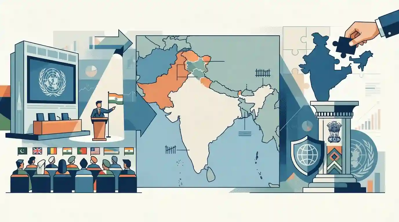
India Territorial Integrity and United Nations World Map Depiction
Source:Indian Express ↗
આ શા માટે મહત્વનું છે
This topic is crucial for understanding India's foreign policy posture, multilateral diplomacy at the United Nations, and the protection of national sovereignty and territorial representation in international maps.
સારાંશ
India's diplomatic position regarding UN world map resolutions and the accurate depiction of Jammu, Kashmir, and Ladakh within its national boundaries highlights the country's strict stance on territorial integrity and sovereignty in international forums.
મુખ્ય મુદ્દા
- India has consistently opposed any global mapping or UN documentation that misrepresents its territorial integrity, particularly concerning Jammu, Kashmir, and Ladakh.
- The issue highlights India's strict diplomatic stance on international bodies depicting disputed or integral territories accurately according to Indian official maps.
- UN resolutions and technical mapping standards often face friction when dealing with politically sensitive and contested international borders.
મહત્વપૂર્ણ શબ્દો
United Nations

An international organization founded in 1945, committed to maintaining international peace and security, developing friendly relations among nations, and promoting international cooperation.
UPSC context
Important for UPSC Prelims and Mains (GS Paper II - International Relations and Global Governance bodies).
UN General Assembly
The main deliberative, policy-making, and representative organ of the United Nations, comprising all 193 member states, providing a unique forum for multilateral discussion.
UPSC context
Tested in UPSC Prelims regarding UN organs, resolutions, and India's diplomatic engagements in multilateral global platforms (GS Paper II).
પ્રિલિમ્સ ટ્રેપ
UN cartographic resolution titled 'Correct the Map' focused on authenticating specific political boundaries and disputed international territories.
Aspirants often assume UN cartographic resolutions endorse or alter political boundaries, whereas they typically focus on technical projections like correcting Mercator distortions.
સંલગ્ન સ્થિર ખ્યાલો
What is the legal framework governing official maps and territorial depiction of India?
- Penal Provision: Criminal Law Amendment Act penalizes incorrect depiction of India's external boundaries.
- Geospatial Bill: Draft Geospatial Information Regulation Bill seeks mandatory licensing for collecting or disseminating geospatial data.
- Nodal Agency: Survey of India is the national survey and mapping organization under the Ministry of Science and Technology.
આંતર-વિષય પેટર્ન
Cartographic Sovereignty and Domestic Penal Codes
India's UN cartographic stance intersects with domestic laws like the Criminal Law Amendment Act criminalizing wrong map depictions.
Map Projections and International Diplomacy
UN cartographic resolutions involve technical map projections (Mercator distortions) which tie into geography and GIS mapping topics.

UN resolution voting behavior combined with Explanation of Vote (EoV) mechanisms is a high-yield area for UPSC Prelims.
