Tourist Ban in Kashmir High Altitude Regions Over Security Concerns
Source:The Hindu ↗
Why It Matters
The article is relevant for GS3 (Internal Security) as it illustrates the administrative responses to security vulnerabilities in terrorism-affected and border regions. Additionally, for Prelims, locations like Margan Top and Sinthan Top are highly probable candidates for map-based geography questions (Places in News).
Summary
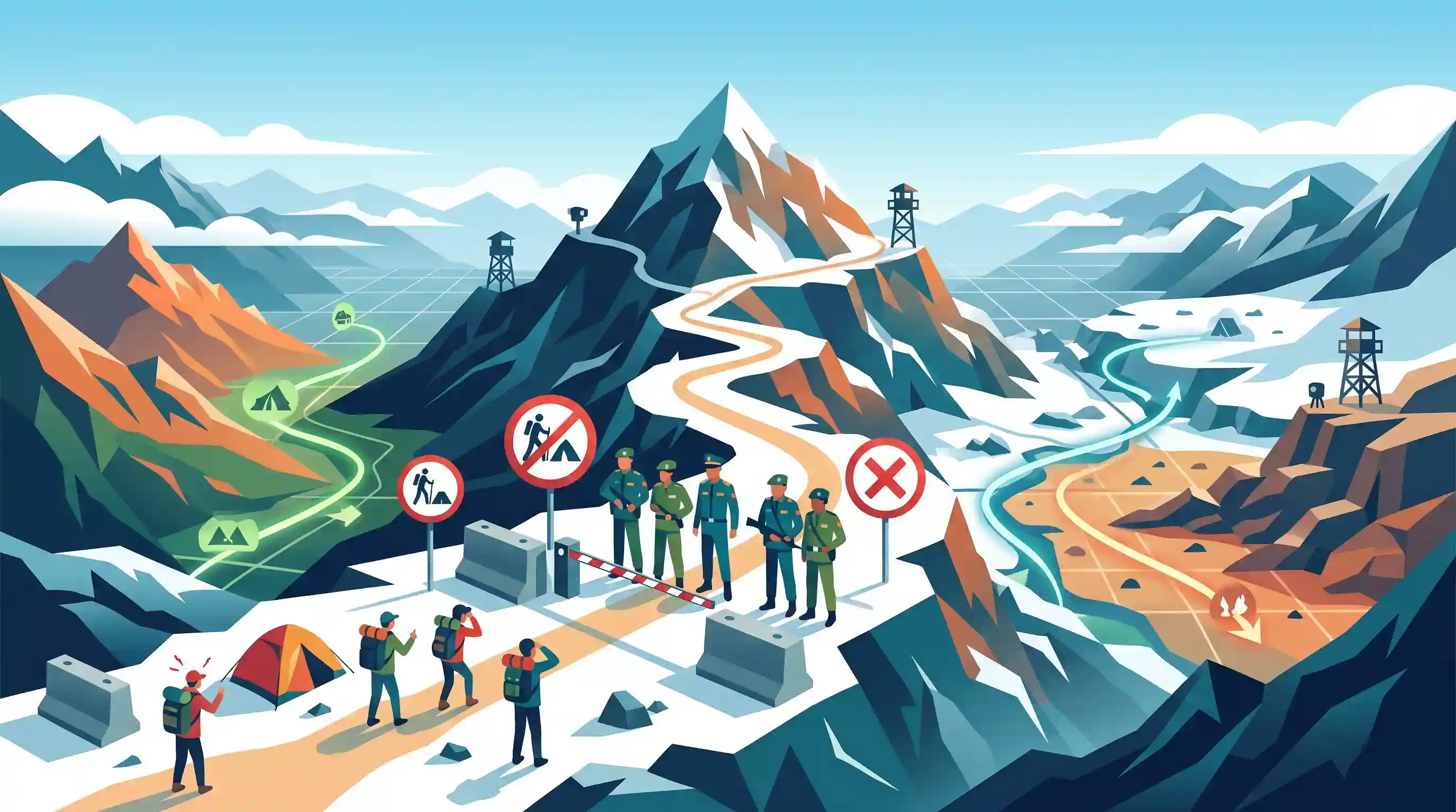
Authorities have temporarily banned tourist and outdoor activities in popular high-altitude trekking destinations in Kashmir—specifically Margan Top, Chauhar Nag, and Sinthan Top—citing security vulnerabilities. Situated at around 3,696 meters, these areas serve as critical geographical links connecting Kishtwar with the Kashmir Valley, and Kargil in Ladakh. The restrictions highlight the ongoing challenges of managing internal security in sensitive border and high-altitude terrains.
Key Points
- Tourist access to high-altitude trekking spots including Margan Top, Chauhar Nag, and Sinthan Top in Kashmir has been banned for two months.
- The restriction was imposed by the SDM of Kokernag following inputs from security agencies regarding vulnerabilities in these forested and high-altitude areas.
- These locations are strategically significant as they connect Kishtwar in Jammu with the Kashmir Valley, while Margan Top features a trail leading to Kargil in Ladakh.
Important Terms
Sinthan Top

A high-altitude mountain pass (~3,784m) in the Pir Panjal range that connects Anantnag in the Kashmir Valley with Kishtwar in Jammu via NH-244.
UPSC context
GS Paper 1: Geography (Important Geophysical features) and GS Paper 3: Internal Security (Strategic connectivity in J&K).
Margan Top
A strategic mountain pass (~3,696m) connecting Kashmir's Anantnag district with the remote Warwan Valley in Kishtwar, serving as a gateway for high-altitude trekking routes toward Ladakh.
UPSC context
GS Paper 3: Internal Security (Infiltration routes and border management); Prelims: Places in News.
Chauhar Nag
A cluster of four alpine lakes situated near Margan Top. The site is geographically unique for its administrative split between the Kashmir and Jammu (Marwah) divisions.
UPSC context
GS Paper 1: Geography (Himalayan lakes); Prelims: Mapping and Places in News.
Pir Panjal Range
The largest range of the Lesser Himalayas, extending across Himachal Pradesh and Jammu & Kashmir, containing critical passes like Sinthan and Margan that facilitate inter-regional movement.
UPSC context
GS Paper 1: Physical Geography (Mountain systems); GS Paper 3: Strategic significance for national defense.
Border Area Management
A multi-layered strategy involving infrastructure development, intelligence-led surveillance, and local engagement to secure frontiers against infiltration, smuggling, and insurgency.
UPSC context
GS Paper 3: Internal Security (Security challenges and their management in border areas).
Internal Security
The preservation of national sovereignty and peace within a country's borders, involving the coordination of police, paramilitary forces (CAPFs), and intelligence agencies.
UPSC context
GS Paper 3: Security (Core topic; covers militancy, state/non-state actor threats, and administrative security measures).
Prelims Trap
Margan Top and Sinthan Top are high-altitude passes in the Zanskar range primarily connecting Kashmir to Tibet.
While Margan Top has a trail to Kargil, these passes are geographically located in the Pir Panjal range connecting Kashmir to Jammu (Kishtwar), not the Zanskar range.
Static Concepts Connected
What are the key strategic passes in the Pir Panjal range?
- Sinthan Top: Connects the Kashmir Valley (Anantnag district) with the Chenab Valley (Kishtwar district) in the Jammu region via NH 244.
- Margan Top: Connects the main Kashmir Valley to the secluded Warwan Valley, serving as a traditional trekking route towards Kargil.
- Banihal Pass: The primary traditional pass connecting the Kashmir Valley in the Indian union territory of Jammu and Kashmir to the outer Himalaya and plains to the south.
Why do high-altitude mountain passes pose unique internal security challenges?
- Terrain Complexity: Dense alpine forests and rugged topography severely restrict visual surveillance and physical patrolling, allowing non-state actors to infiltrate across ridges.
- Soft Frontiers: Expanding civilian tourism creates soft targets, forcing security forces to divert resources from counter-insurgency grids to civilian protection operations.
- Dual-Use Trails: Traditional routes used by Bakerwal/Gujjar pastoralists are often exploited by militants to bypass established military checkpoints between divisions.
Cross-Topic Patterns
Border Tourism vs. Counter-Insurgency Grids
The push to integrate remote frontiers via tourism (akin to the Vibrant Villages Programme) inherently clashes with counter-insurgency grids, highlighting a classic development-security dilemma in J&K.
Pir Panjal's Shifting Security Topography
Militancy historically shifts from the heavily militarized Kashmir Valley into the dense, forested alpine ranges of Pir Panjal (Kishtwar/Rajouri), utilizing these traditional pastoral passes to bypass checkpoints.

Expect a Prelims 'Places in News' match-the-following pairing lesser-known passes (Margan, Sinthan Top) with their connected valleys.
Linked PYQs · 4
Linked PYQs · 4
- 2022PrelimsGS1
Consider the following pairs: Peak Mountains 1. Namcha Barwa: Garhwal Himalaya 2. Nanda Devi: Kumaon Himalaya 3. Nokrek: Sikkim Himalaya Which of the pairs given above is/are correctly matched?
- 2003PrelimsGS1
Nanda Devi peak forms a part of
- 2023MainsGS3
Winning of 'Hearts and Minds' in terrorism-affected areas is an essential step in restoring the trust of the population. Discuss the measures adopted by the Government in this respect as part of the conflict resolution in Jammu and Kashmir.
- 2024MainsGS3
India has a long and troubled border with China and Pakistan fraught with contentious issues. Examine the conflicting issues and security challenges along the border. Also give out the development being undertaken in these areas under the Border Area Development Programme (BADP) and Border Infrastructure and Management (BIM) Scheme.
