Sundarbans Ecological Vulnerability and Human Livelihoods
Source:india-mongabay ↗
Why It Matters
The Sundarbans is a globally significant ecological hotspot and a major geographic and environmental feature of West Bengal, making questions on its vulnerability, conservation, and climate challenges highly relevant for WBCS Prelims.
Summary
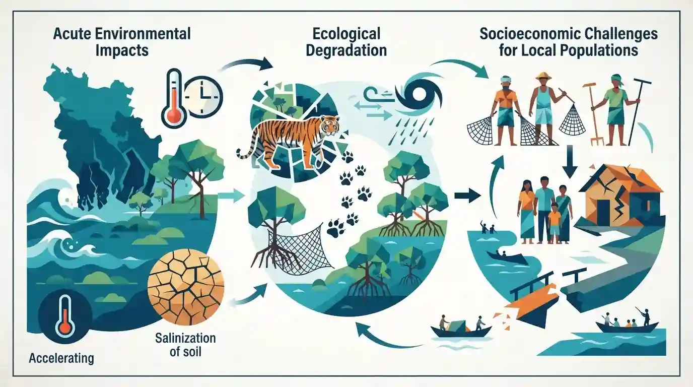
An analytical commentary discussing the multi-faceted challenges facing the Sundarbans region, balancing the acute impacts of climate change, sea-level rise, and ecological degradation with the socioeconomic survival of local human populations.
Key Points
- The Sundarbans delta is facing severe existential threats due to accelerated climate change, rising sea levels, and increased frequency of tropical cyclones.
- Human survival, livelihoods, and biodiversity in the region are constrained by coastal erosion, soil salinization, and loss of mangrove ecosystems.
- Balancing ecological conservation of the world's largest mangrove forest with human adaptation remains a critical policy challenge for West Bengal.
Important Terms
UNESCO

The United Nations Educational, Scientific and Cultural Organization designates global natural and cultural heritage sites, including the Sundarbans National Park in West Bengal, recognized for its unique mangrove ecosystem and biodiversity.
UPSC context
WBCS Geography and Environment syllabus; tests knowledge of international conservation designations, protected areas, and ecological heritage within West Bengal.
Prelims Trap
The Dampier-Hodges line marks the international border between India and Bangladesh in the Sundarbans delta.
Aspirants often confuse the Dampier-Hodges line with the Radcliffe Line or the McMahon Line. It specifically marks the northern boundary of the Sundarbans mangrove forest.
Static Concepts Connected
What are the key geographical and historical features of the Indian Sundarbans?
- World Heritage: UNESCO Status: Inscribed as a UNESCO World Heritage Site in 1987 for its unique mangrove ecosystem and Bengal tiger habitat.
- Dampier-Hodges Line: Historical Line: Demarcated historically by the Dampier-Hodges line, which marks the northern boundary of the Sundarbans delta.
- Carbon Sinks: Blue Carbon: Exhibits exceptionally high carbon sequestration capacity per hectare within its mangrove forests.
Cross-Topic Patterns
Mangroves, Disaster Mitigation, and Wildlife Act
The Sundarbans delta connects ecological conservation policies under the Wildlife Protection Act with regional disaster management frameworks like the National Cyclone Risk Mitigation Project (NCRMP).
Salinization, Agrarian Crisis, and Food Security
Rising sea levels and coastal salinization directly threaten traditional paddy cultivation, tying environmental degradation to rural livelihood loss and food security in lower Bengal.

Sundarbans ecological vulnerabilities and historical boundary demarcations frequently appear in WBCS geography and environment sections.
Linked PYQs · 3
Linked PYQs · 3
- 2024WBCS_PRELIMSGS1
On a per hectare basis which of the following forests will hold maximum amount of carbon?
- 2019WBCS_PRELIMSGS1
Sundarban is declared as 'World Heritage Site' for
- 2021WBCS_PRELIMSGS1
The boundary line of Sundarban was demarcated by
