Tehran Water Crisis and Severe Drought Impact in Iran
Source:The Hindu ↗
Why It Matters
Highlights the extreme real-world impacts of climate change and prolonged droughts on major urban centers, serving as a case study for water security challenges and the concept of 'Day Zero' in large metropolises. Relevant for questions on global water crises and geographic features of West Asia.
Summary
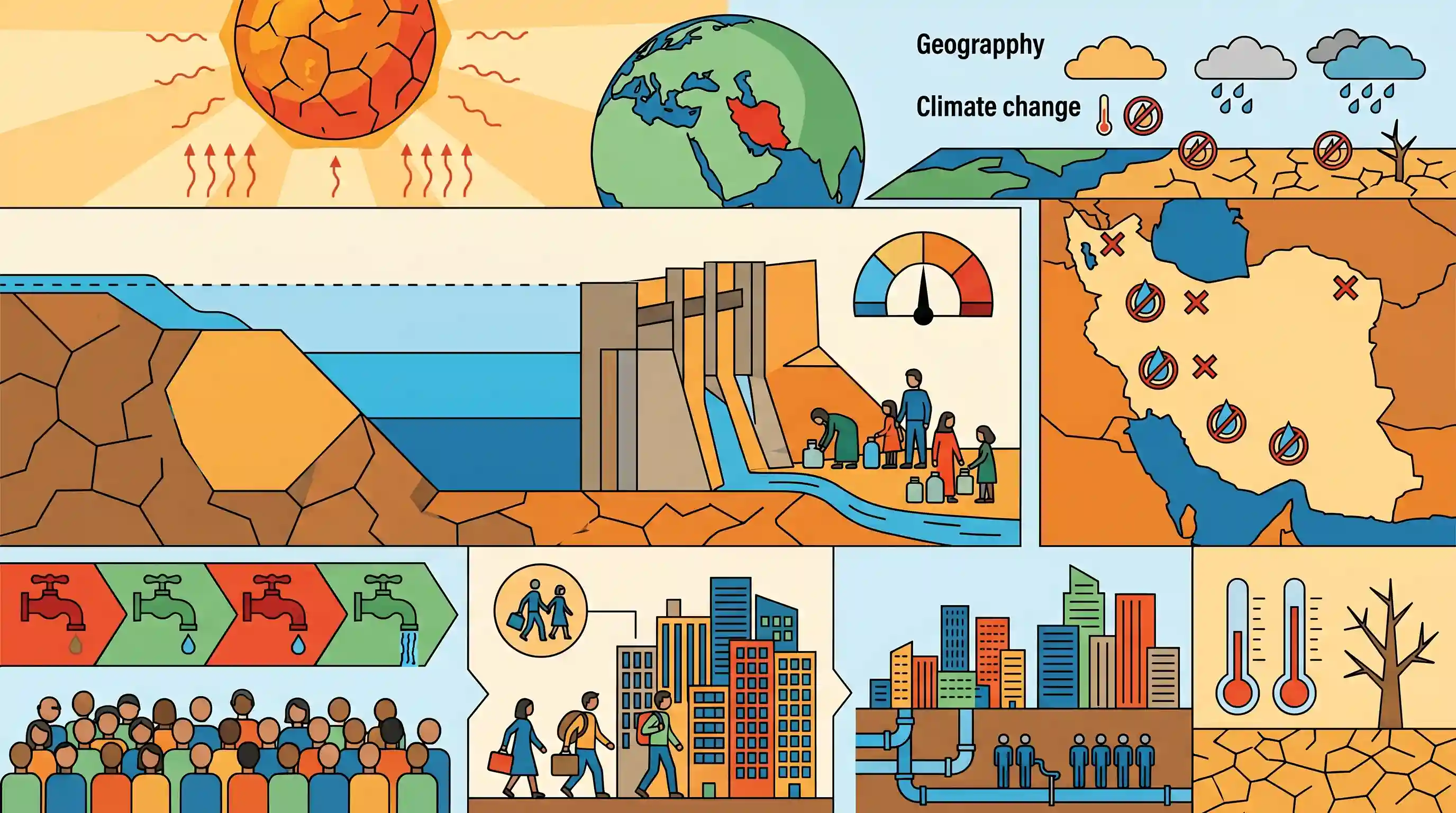
Iran is grappling with an unprecedented water crisis and its worst drought in decades, leading to planned periodic water cuts for Tehran's 10 million residents. The critical Amir Kabir dam on the Karaj river is nearly dry, holding a fraction of its normal reserves, leaving the capital with less than a two-week water supply. President Masoud Pezeshkian has raised the extreme possibility of evacuating Tehran if rainfall does not arrive soon. The crisis extends nationwide, severely affecting other major cities like Isfahan, Tabriz, and Mashhad, highlighting the severe vulnerability of the region to climate-driven water scarcity.
Key Points
- Iran is experiencing its worst drought in decades, leading to planned water supply cuts for Tehran's 10 million residents.
- President Masoud Pezeshkian warned of a potential evacuation of Tehran if no rain falls by year-end.
- The Amir Kabir dam on the Karaj river, a key water source for Tehran, is running critically low, holding less than a two-week supply.
- Other major Iranian cities, including Isfahan, Tabriz, and Mashhad, are also severely affected by drastic drops in reservoir levels.
- Tehran's geography traditionally relies on winter snow and autumn rain from the Alborz mountains, but this natural hydrological cycle has failed this year.
Important Terms
Amir Kabir Dam

A major arch dam on the Karaj River in northern Iran. It is a vital source of drinking water and hydroelectricity for Tehran, currently hitting historic lows due to multi-year drought.
UPSC context
GS-1 (World Geography); tests understanding of critical global infrastructure and the impact of climate-driven resource depletion in arid regions.
Karaj River
A critical river in the Alborz mountain range of Iran. It feeds the Amir Kabir Dam and serves as the primary surface water source for Tehran's residents.
UPSC context
GS-1 (Geography); relevant for mapping major hydrological systems and understanding urban dependencies on natural water sources in West Asia.
IRNA
The official, state-run news agency of the Islamic Republic of Iran. Controlled by the government, it is the primary outlet for official announcements and state media reporting.
UPSC context
GS-2 (International Relations); important for analyzing state-media narratives and assessing official information channels in Middle Eastern geopolitics.
Masoud Pezeshkian
The President of Iran (assumed office 2024) who issued a high-profile warning about the potential evacuation of Tehran due to the severity of the country's water crisis.
UPSC context
GS-2 (International Relations); relevant for tracking regional leadership responses to domestic environmental crises and their impact on national stability.
Water Bankruptcy
An extreme ecological state where a region's water demand consistently exceeds its renewable supply, resulting in the exhaustion of natural reserves and failure of management systems.
UPSC context
GS-3 (Environment/Disaster Management); tests knowledge of long-term ecological mismanagement and the socio-economic risks of unsustainable water use.
Water Day Zero
A projected threshold when a city's municipal water supply is expected to be exhausted, necessitating the cessation of piped water and implementation of emergency distribution.
UPSC context
GS-3 (Environment/Urbanization); crucial for discussing urban resilience, climate adaptation, and resource security as a non-traditional security threat.
Prelims Trap
The Alborz mountains dictate Tehran's hydrology and act as the geographical barrier between Iran and the Persian Gulf.
The Alborz mountains run along the northern border of Iran, bordering the Caspian Sea, not the Persian Gulf. The Zagros mountains lie to the southwest.
Static Concepts Connected
What are the key geographic mountain ranges dictating Iran's hydrology?
- Alborz Mountains: Runs along the Caspian Sea in northern Iran. It acts as the primary catchment for Tehran's water supply through winter snows and autumn rains.
- Zagros Mountains: Spans the western and southwestern regions of Iran near Iraq and the Persian Gulf, acting as the country's other major climatic barrier and watershed.
What constitutes a 'Day Zero' urban water crisis?
- Defining Day Zero: The projected date when a municipality cuts off piped water to homes, forcing residents to queue at public standpipes for strict daily rations.
- Key Drivers: Triggered by a combination of severe meteorological drought, over-reliance on surface reservoirs, poor groundwater recharge, and sudden climatic shifts (like the failure of seasonal rains).
- Indian Context: Chennai faced a near Day Zero in 2019 when its main reservoirs ran dry, mirroring earlier crises in Cape Town (2018) and the looming threat in Tehran.
Cross-Topic Patterns
Urban Day Zero to Climate Migration
The unprecedented threat of evacuating Tehran shifts the 'climate refugee' narrative from traditional coastal submergence to arid-zone urban water collapse, highly relevant for GS1 urbanization and GS3 disaster management.
Water stress as a threat multiplier
Severe drought and municipal water cuts in cities like Isfahan historically trigger massive internal protests, acting as a domestic vulnerability for Iran amid its wider geopolitical conflicts.

Expect a 'Places in News' prelims match for Middle East mountains (Alborz, Zagros) or a GS1 mains question on urban 'Day Zero' crises.
Linked PYQs · 3
Linked PYQs · 3
- 2023MainsGS1
Why is the world today confronted with a crisis of availability of and access to freshwater resources?
- 2016MainsGS1
In what way micro-watershed development projects help in water conservation in drought-prone and semi-arid regions of India?
- 2019PrelimsGS1
What is common to the places known as Aliyar, Isapur and Kangsabati?
