Coastal vulnerability persists two decades after Indian Ocean tsunami
Source:The Hindu ↗
Why It Matters
Provides a real-world case study on the long-term socio-psychological impacts of mega-disasters, the distinction between tectonic and climate-driven hazards, and the role of early warning systems in mitigating loss of life along India's highly vulnerable coastline.
Summary
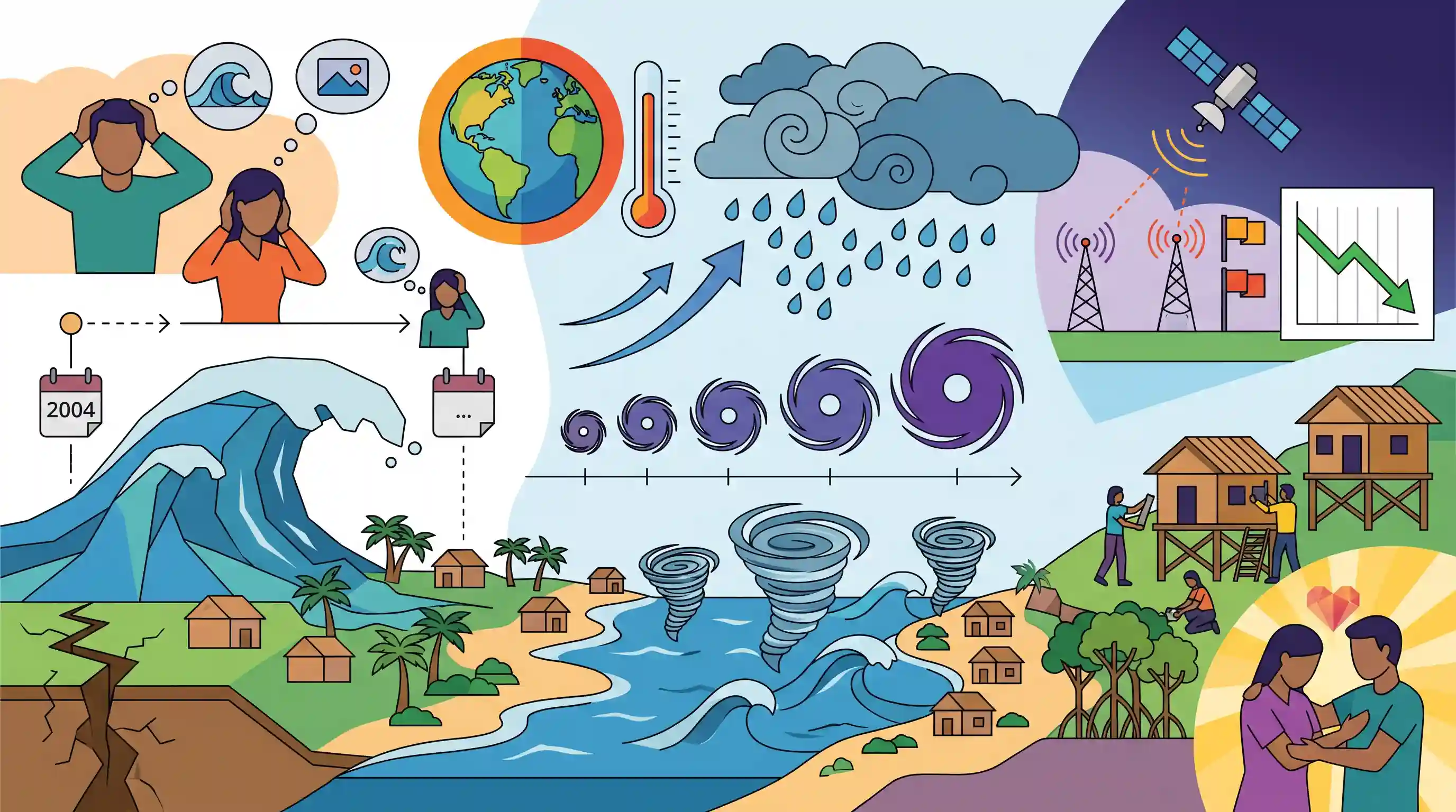
Two decades after the devastating 2004 Indian Ocean tsunami, coastal communities in India's Tamil Nadu continue to grapple with deep psychological trauma, exacerbated by the intensifying frequency of severe storms and cyclones. While the 2004 disaster was tectonic in origin (caused by a 9.1 magnitude earthquake off Sumatra), modern coastal threats are increasingly driven by climate change, as a warmer atmosphere holds more water and fuels stronger cyclones. Improved forecasting and early warning systems have successfully reduced storm-related mortalities, yet the persistent vulnerability of India's coastline highlights the enduring need for robust disaster preparedness and psychological support for affected populations.
Key Points
- Two decades after the devastating 2004 Indian Ocean tsunami, coastal communities in India (such as Nagapattinam) still suffer from trauma when heavy rains and strong winds hit.
- The 2004 tsunami was triggered by a 9.1 magnitude earthquake off the coast of Sumatra, Indonesia, not by climate change.
- Over 220,000 people were killed globally by the 2004 tsunami, including over 16,000 in India and 4,000 in the Andaman and Nicobar Islands.
- Human-driven climate change is intensifying annual storms and cyclones because a warmer atmosphere holds more moisture.
- Advancements in forecasting and early warning systems have dramatically reduced the death toll from coastal storms, though anxiety remains high among survivors.
Important Terms
2004 Indian Ocean Tsunami

A catastrophic 9.1 magnitude megathrust earthquake off Sumatra that triggered massive waves, killing over 227,000 people. It remains the deadliest recorded tsunami, causing immense coastal devastation across 14+ countries.
UPSC context
GS Paper 1 (Geography: Geophysical phenomena) and GS Paper 3 (Disaster Management). Essential case study for subduction-zone hazards and preparedness.
Disaster Management Act, 2005
Indian legislation enacted post-2004 tsunami providing a legal framework for disaster response. It established the National Disaster Management Authority (NDMA) to transition India from reactive relief to proactive risk reduction.
UPSC context
GS Paper 3 (Disaster Management). The foundation of India's institutional disaster governance and bureaucratic response architecture.
INCOIS (Indian National Centre for Ocean Information Services)
An autonomous body under the Ministry of Earth Sciences providing ocean advisory services. It operates the Indian Tsunami Early Warning Centre (ITEWC) and monitors marine hazards like storm surges and high waves.
UPSC context
GS Paper 3 (Science & Tech; Disaster Management). The primary agency for marine monitoring and forecasting in India.
Coastal Vulnerability Index (CVI)
A mapping tool developed by INCOIS that assesses physical risks to coastal areas (e.g., sea-level rise, erosion) based on geomorphology, elevation, shoreline change, and wave height parameters.
UPSC context
GS Paper 1 (Geography) and GS Paper 3 (Environment). Crucial for coastal land-use planning and climate-resilient infrastructure.
Early Warning System (EWS)
An integrated system of hazard monitoring, forecasting, and communication that triggers timely action. India’s tsunami EWS at INCOIS provides alerts within 10 minutes of a tsunamigenic earthquake.
UPSC context
GS Paper 3 (Disaster Management). Vital for achieving the Sendai Framework’s global target for multi-hazard warning systems.
EM-DAT
The global Emergency Events Database maintained by CRED (Belgium). It tracks natural and technological disasters since 1900, recording frequency, mortality, and economic impacts to support risk-reduction policy.
UPSC context
GS Paper 3 (Disaster Management). Provides the data-driven evidence base for analyzing global disaster trends and Sendai Framework compliance.
Indian Air Force (IAF)
A primary responder in Humanitarian Assistance and Disaster Relief (HADR). It provides strategic airlift, search-and-rescue, and air-dropping of relief supplies in inaccessible disaster zones.
UPSC context
GS Paper 3 (Disaster Management; Internal Security). Essential for rapid response and projecting India’s regional HADR capabilities.
Prelims Trap
Climate change and global warming have increased the frequency and intensity of tsunamis in the Indian Ocean.
Tsunamis are tectonic hazards triggered by submarine earthquakes or landslides. They are not hydrometeorological events like cyclones, and thus not directly intensified by climate warming.
Static Concepts Connected
How does India's Tsunami Early Warning System (ITEWS) function?
- Nodal Agency: Established in 2007, it is operated by the Indian National Centre for Ocean Information Services (INCOIS) in Hyderabad under the Ministry of Earth Sciences.
- Sensor Network: It utilizes a real-time network of seismic stations, Bottom Pressure Recorders (DART buoys), and coastal tide gauges to detect anomalies.
- Rapid Response: The system is designed to detect tsunamigenic earthquakes and issue alerts within 10 to 20 minutes of the event.
What is the UNESCO-IOC 'Tsunami Ready' initiative?
- Core Objective: It is a community performance-based programme that builds tsunami resilience through specific awareness, preparedness, and response strategies at the local level.
- Indian Implementation: India was the first country in the Indian Ocean region to implement this, with coastal villages in Odisha being the first to receive certification.
Cross-Topic Patterns
CRZ norms + Cyclone intensification
Rising sea levels and climate-fueled super-cyclones make recent dilutions of Coastal Regulation Zone (CRZ) rules a critical governance and environmental issue for Mains GS3.
Disaster Mgmt + Mental Healthcare Act
Integrating psychiatric support into long-term NDRF/SDMA recovery phases connects disaster resilience frameworks with the broader health mandates of the Mental Healthcare Act.

2026 Prelims may test INCOIS warning mechanisms (DART buoys) combined with UNESCO's Tsunami Ready certification in a multi-statement Q.
Linked PYQs · 5
Linked PYQs · 5
- 2025MainsGS1
What are Tsunamis? How and where are they formed? What are their consequences? Explain with examples.
- 2023MainsGS1
Comment on the resource potentials of the long coastline of India and highlight the status of natural hazard preparedness in these areas.
- 2024MainsGS1
What is sea surface temperature rise? How does it affect the formation of tropical cyclones?
- 2019MainsGS3
Disaster preparedness is the first step in any disaster management process. Explain how hazard zonation mapping will help disaster mitigation in the case of landslides.
- 2022MainsGS3
Explain the causes and effects of coastal erosion in India. What are the available coastal management techniques for combating the hazard?
