Sardar Sarovar Dam Opens Monsoon Gates Amid Flood Alerts
Source:Indian Express ↗
Why It Matters
The Narmada River and its associated dams (like the Sardar Sarovar) are frequently featured in UPSC questions testing Indian Geography (west-flowing rivers) and disaster management (reservoir-induced flooding and dam failures). Understanding interstate water dynamics and flood control is essential for Mains GS1 and GS3.
Summary
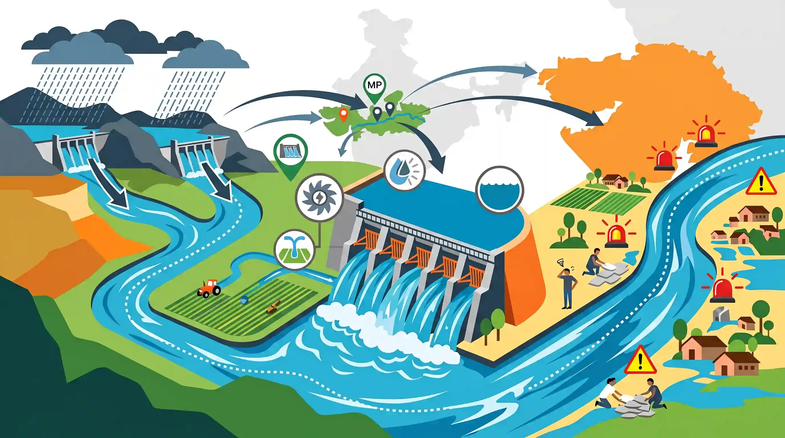
The Sardar Sarovar Dam in Gujarat recently opened its radial gates for the first time this monsoon due to a heavy influx of water from the Narmada River basin, specifically triggered by massive discharges from upstream dams in Madhya Pradesh like Omkareshwar and Indira Sagar. The resulting downstream discharge prompted local authorities to issue high alerts across multiple districts to mitigate potential flood risks. This development underscores the complexities of managing major multipurpose river valley projects, highlighting the dual necessity of maximizing water storage for irrigation and power while effectively managing downstream flood risks and interstate water coordination.
Key Points
- The Sardar Sarovar Dam on the Narmada river in Gujarat opened its gates for the first time this monsoon season after water levels rose significantly.
- Heavy rainfall in the catchment areas of Madhya Pradesh, leading to discharge from the Omkareshwar and Indira Sagar dams, necessitated the opening of the gates.
- Authorities issued alerts to downstream villages across several districts, including Narmada, Bharuch, and Vadodara, to prevent loss of life and property due to sudden water discharge.
- The event highlights the critical importance of multi-reservoir coordination and real-time monitoring in managing interstate river systems during the monsoon.
Important Terms
Sardar Sarovar Dam

A large concrete gravity dam on the Narmada River in Gujarat; it provides irrigation, drinking water, and hydropower to Gujarat, Madhya Pradesh, Maharashtra, and Rajasthan.
UPSC context
GS Paper I (Geography) and GS Paper III (Infrastructure/Water Resources); tests knowledge of major river valley projects.
Narmada River
India's largest west-flowing river, originating from Amarkantak, flowing through a rift valley between the Vindhya and Satpura ranges before draining into the Arabian Sea.
UPSC context
GS Paper I (Geography); critical for physical geography, river systems, and drainage patterns.
Sardar Sarovar Narmada Nigam Limited (SSNNL)
A Gujarat government-owned company responsible for the implementation, operation, and management of the Sardar Sarovar multipurpose project and its canal network.
UPSC context
GS Paper III (Infrastructure); tests understanding of statutory bodies and project management in water resources.
Narmada Control Authority (NCA)
An interstate body established to implement the Narmada Water Disputes Tribunal's award, coordinating water sharing and reservoir regulation among the basin states.
UPSC context
GS Paper II (Statutory Bodies) and GS Paper III (Disaster Management); concerns interstate water disputes and coordination.
Multipurpose River Valley Projects
Large-scale river infrastructure projects designed to simultaneously address multiple needs, including irrigation, hydroelectric power, flood control, navigation, and domestic water supply.
UPSC context
GS Paper I (Geography) and GS Paper III (Economy); core topic for resource management and development.
Narmada Bachao Andolan (NBA)
A social movement led by Medha Patkar and others against the Sardar Sarovar Dam, focusing on environmental concerns and the rehabilitation of displaced tribal communities.
UPSC context
GS Paper IV (Ethics) and GS Paper I (Social Issues); tests ethics in development and environmental movements.
Prelims Trap
"The Narmada river flows through Rajasthan, making it a party to the Narmada Water Disputes Tribunal."
Rajasthan is a party to the NWDT and receives Narmada water via the Narmada Canal for irrigation, but the river basin and its physical flow strictly do NOT extend into Rajasthan.
Static Concepts Connected
What are the key geographical features of the Narmada river system?
- Origin: Rises from the Amarkantak plateau in Madhya Pradesh, flowing westward into the Arabian Sea.
- Rift Valley Flow: Occupies a linear rift valley between the Vindhya (north) and Satpura (south) mountain ranges.
- Estuary Formation: Because it flows through a hard-rock rift valley, it carries less sediment and forms an estuary rather than a delta.
- Cascade of Dams: Features a sequence of major reservoirs including Indira Sagar, Omkareshwar, Maheshwar, and Sardar Sarovar.
How are inter-state river water disputes governed in India?
- Article 262: Constitutional provision empowering Parliament to adjudicate disputes over inter-state rivers and optionally bar Supreme Court jurisdiction.
- ISWD Act 1956: Provides the statutory mechanism for the Centre to establish ad-hoc tribunals, like the Narmada Water Disputes Tribunal (NWDT).
- NWDT Beneficiaries: NWDT uniquely apportioned Narmada waters among four co-basin/beneficiary states: Madhya Pradesh, Gujarat, Maharashtra, and Rajasthan.
Cross-Topic Patterns
Rule Curves & Man-Made Floods
Sudden upstream discharges bypassing established 'Rule Curves' frequently trigger downstream inundation. This links physical geography with GS3 Disaster Management (man-made floods).
Rift Valley Dams & Pumped Storage
Cascading dams on the Narmada are increasingly being evaluated for pumped storage hydro-projects to act as giant batteries, balancing India's growing solar grid loads.

Expect a Prelims question pairing Narmada's rift valley geography (Vindhyas/Satpuras) with NWDT beneficiary states, especially Rajasthan.
Linked PYQs · 5
Linked PYQs · 5
- 2013PrelimsGS1
The Narmada river flows to the west, while most other large peninsular rivers flow to the east. Why? 1. It occupies a linear rift valley. 2. It flows between the Vindhyas and the Satpuras. 3. The land slopes to the west from Central India. Select the correct answer using the codes given below.
- 2024PrelimsGS1
Consider the following information (Waterfall — Region — River): 1. Dhuandhar — Malwa — Narmada 2. Hundru — Chota Nagpur — Subarnarekha 3. Gersoppa — Western Ghats — Netravati In how many of the above rows is the given information correctly matched?
- 2023MainsGS3
Dam failures are always catastrophic, especially on the downstream side, resulting in a colossal loss of life and property. Analyze the various causes of dam failures. Give two examples of large dam failures.
- 2020MainsGS3
Suggest measures to improve water storage and irrigation system to make its judicious use under depleting scenario.
- 2020MainsGS1
The interlinking of rivers can provide viable solutions to the multi-dimensional inter-related problems of droughts, floods and interrupted navigation. Critically examine.
