Massive Sandstorm Blankets Jaisalmer and Reduces Visibility
Source:ndtv ↗
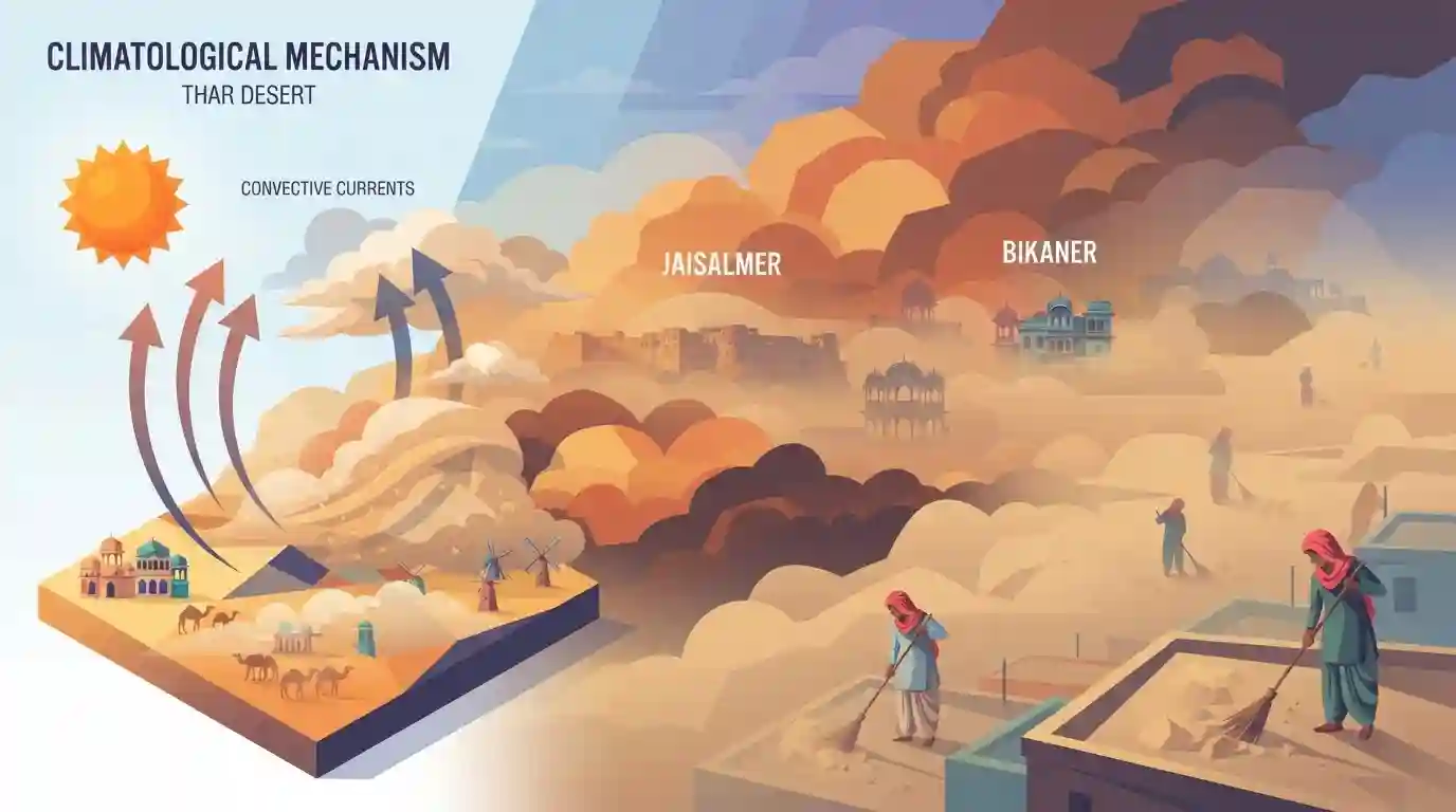
Why It Matters
The physical geography and climate of Rajasthan, including regional phenomena like summer dust storms ("Andhi") and the characteristics of the Thar Desert, are heavily tested in RPSC RAS Prelims under State Geography.
Summary
A massive sandstorm recently swept across parts of Rajasthan, including Jaisalmer and Bikaner, drastically reducing visibility and covering the landscape in thick clouds of dust. This extreme weather event highlights the intense summer climatic conditions of the Thar Desert. In Rajasthan, such dust storms (locally known as "Andhi") are frequently generated during peak summer by intense localized heating that creates strong vertical convective currents.
Key Points
- A severe sandstorm swept through parts of Rajasthan, significantly impacting Jaisalmer and Bikaner.
- The intense dust storm blanketed the landscape with large clouds of sand, causing a drastic drop in visibility.
- Such localized weather events are characteristic of the arid Thar Desert climate and are typically driven by intense land heating during the summer months.
Prelims Trap
Jaisalmer, being the hyper-arid core of the Thar, records the highest annual frequency of dust storms in Rajasthan.
Sri Ganganagar records the highest average annual frequency of dust storms (~27 days) in the state, not Jaisalmer, due to specific westerly wind vulnerabilities.
Static Concepts Connected
What is the thermodynamic mechanism behind Rajasthan's summer dust storms (Andhi)?
- Convective Heating: Intense solar insolation during peak summer heats the dry land surface rapidly, generating highly unstable vertical convective currents.
- Low-Pressure Formation: This rapid localized heating creates a low-pressure pocket, drawing in high-velocity winds that sweep loose sand.
- Aerosol Lifting: Strong convective updrafts lift dry silt and fine sand particles high into the lower troposphere, forming thick dust walls.
How does the Aravalli Range act as a geographic and climatic barrier?
- Dust Barrier: Running southwest to northeast, the range physically blocks the eastward transport of loose sand and pre-monsoon dust storms (Andhi) into the fertile Indo-Gangetic Plains.
- Monsoon Alignment: Its parallel alignment to the Arabian Sea branch of the southwest monsoon prevents it from rising, leaving Western Rajasthan in a rain shadow.
Cross-Topic Patterns
Mineral Dust and Monsoon Dynamics
Airborne Thar dust aerosols modify solar radiation budgets, cooling the surface but warming the mid-troposphere, thereby directly influencing Indian Summer Monsoon rainfall patterns.
Aravalli Green Wall and Desertification
The proposed Great Green Wall of India aims to restore the Aravalli range, mitigating wind-led soil erosion and restricting the eastward migration of Thar's sandstorms.

UPSC may couple the thermodynamic impact of Thar dust aerosols on monsoon clouds with the geographical barrier role of the Aravalli Range.
Linked PYQs · 3
Linked PYQs · 3
- 2018RPSC_PRELIMSGS1
The dust storms occurring in Rajasthan during May-June months are responsible for: (a) Origin of convective currents at some places (b) Aravalli hills are parallel to the southwest winds. (c) Origin of very intense easterly winds
- 2021RPSC_PRELIMSGS1
Which of the following are parts of the Thar Desert?
- 2016RPSC_PRELIMSGS1
What percentage of the Thar Desert is in Rajasthan?
