Rishikesh Rafting Suspended Due to Monsoon Surge in Ganga
Source:etvbharat ↗
Why It Matters
The Himalayan region of Uttarakhand is ecologically fragile and highly vulnerable to monsoon-induced disasters. Understanding local river systems (like the Ganga, Rispana, and Bindal), landslide mitigation strategies, and the administrative mechanisms for disaster readiness is a recurring theme in UKPSC PCS Prelims geography and environment segments.
Summary
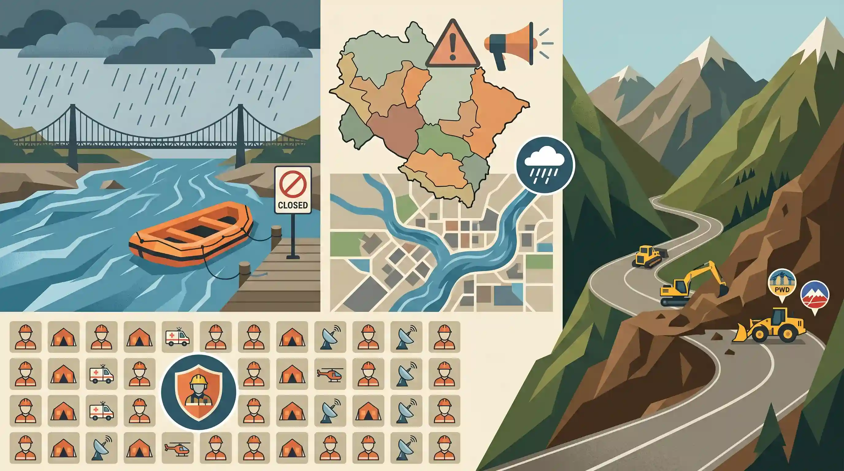
With the arrival of monsoon rains in Uttarakhand, the state government has suspended tourist rafting operations on the Ganga in Rishikesh for two months and placed all 13 districts on high alert. Heavy rainfall forecasts have prompted surges in Dehradun's local Rispana and Bindal rivers. To evaluate its disaster preparedness, the state administration is executing a state-wide mock drill across 66 locations, while mobilization of PWD, BRO, and NH machinery is underway to clear landslide-induced blockages on critical routes like the Char Dham Yatra.
Key Points
- Monsoon Onset & High Alert: The initial monsoon rains in Uttarakhand have triggered high alert across multiple districts, with forecasts warning of heavy to very heavy rainfall in Dehradun, Bageshwar, Tehri, Pauri, Nainital, Champawat, Pithoragarh, and Udham Singh Nagar.
- Rafting Suspended: To prevent monsoon accidents caused by strong currents and rising water levels, rafting operations on the Ganga in Rishikesh have been completely shut down for two months.
- Dehradun River Surges: Heavy waterlogging has been reported in Dehradun, with the Rispana and Bindal rivers (tributaries within the Doon Valley drainage system) surging with muddy, turbulent water.
- State-wide Disaster Mock Drill: The Uttarakhand government is conducting a massive mock drill on July 2 across 66 locations in all 13 districts to test the real-time preparedness of the State Emergency Operation Centre and local administrations.
- Infrastructure Connectivity: Keeping Char Dham Yatra routes and remote mountain links clear of landslide debris is a critical priority, with PWD, BRO, and NH departments deploying earthmovers along vulnerable points.
Important Terms
Border Roads Organisation (BRO)

A statutory body under the Ministry of Defence responsible for building and maintaining roads, bridges, and tunnels in border areas and friendly neighboring countries, crucial for defense preparedness and disaster response.
UPSC context
GS Paper III (Infrastructure & Disaster Management); tests strategic road connectivity and high-altitude emergency preparedness.
India Meteorological Department (IMD)
The principal government agency under the Ministry of Earth Sciences responsible for weather forecasting, meteorological observations, monsoon tracking, and early warnings for natural disasters like heavy rainfall and cyclones.
UPSC context
GS Paper I (Monsoon Geography) and GS Paper III (Disaster Management); tests forecasting mechanisms and early warning system utility.
State Emergency Operation Centre (SEOC)
A state-level 24/7 coordination hub established under the Disaster Management Act, 2005, tasked with monitoring hazards, disseminating warnings, and coordinating response and relief operations during emergencies.
UPSC context
GS Paper III (Disaster Management); tests institutional framework, hazard monitoring, and coordination mechanisms under the DM Act.
National Highways Authority of India (NHAI)
An autonomous statutory agency under the Ministry of Road Transport and Highways, created under the NHAI Act, 1988, responsible for developing, maintaining, and managing India's national highways network.
UPSC context
GS Paper III (Infrastructure & Transport Policy); tests statutory bodies and road transportation network governance in India.
Public Works Department (PWD)
A state-government agency responsible for the design, construction, and maintenance of public infrastructure like regional roads, bridges, and government buildings, which plays a major role in disaster recovery.
UPSC context
GS Paper II (Governance) & GS Paper III (Infrastructure); tests state-level administrative structures executing public engineering projects.
Prelims Trap
All local rivers originating in the Doon Valley, including the Rispana and Bindal, drain directly into the Yamuna River system.
The Dehradun valley is a water divide. Western streams like the Asan flow into the Yamuna, while eastern streams like the Song (and its tributaries) flow into the Ganga.
Static Concepts Connected
What are 'Duns' and how are they structurally formed?
- Geomorphological Location: Longitudinal structural valleys formed between the Lesser Himalayas (Himachal) and the Outer Himalayas (Shiwalik range).
- Origin and Deposition: Formed when rivers were temporarily dammed by the rising Shiwalik range, depositing alluvium which later cleared, leaving flat-bottomed valleys.
- Hydrological Role: They act as major structural watersheds, with the Dehradun Valley dividing the Ganga and Yamuna drainage systems.
What are Glacial Lake Outburst Floods (GLOFs) and their mitigation strategies?
- Definition and Trigger: Sudden discharge of water from a glacial lake dammed by unstable moraines, triggered by earthquakes, avalanches, or heavy rain.
- NDMA Guidelines: Includes satellite monitoring (using SAR), installing early warning systems, and controlled breaching of unstable moraine dams to reduce water volume.
- State Pilot Project: Vasudhara Lake in Uttarakhand's Chamoli district serves as a high-risk pilot site for scientific mitigation and monitoring.
Cross-Topic Patterns
Infrastructure vs. Carrying Capacity
Balancing Char Dham highway expansion by BRO/NH with the fragile geology of the Shiwaliks, highlighting the critical need for regional carrying capacity studies.
Tectonic activity + Landslide hazard
The young, seismically active Himalayan terrain accelerates mass wasting and landslides, which are heavily aggravated by climate-induced extreme monsoon precipitation events.

GLOF risk mitigation strategies combined with Himalayan micro-drainage systems likely to feature in GS-1 physical geography, 2026.
Linked PYQs · 3
Linked PYQs · 3
- 2007UKPSC_PRELIMSGS1
Which of the following Natural Calamity has the most devastating impact in Uttarakhand State?
- 2025UKPSC_PRELIMSGS1
Consider the following statements and select the correct answer from the options given below : Statement 1 : Uttarakhand is highly vulnerable to climate change. Statement 2 : Climate change is causing water stress and depleting biodiversity in Uttarakhand.
- 2012UKPSC_PRELIMSGS1
Which are called 'Duns' in Uttarakhand?
