Green Highways Policy for Sustainable Infrastructure and Agroforestry
Source:PIB ↗
हे का महत्त्वाचे आहे
Crucial for understanding India's strategy to balance rapid infrastructure expansion with climate resilience, carbon sequestration, and sustainable development goals.
सारांश
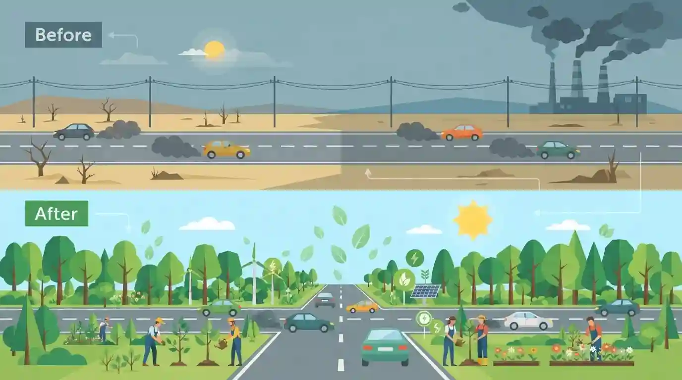
The Ministry of Road Transport and Highways' Green Highways initiative focuses on ecological development, reducing carbon footprint, and generating sustainable rural livelihoods through extensive plantation, corridor beautification, and maintenance along national highways.
मुख्य मुद्दे
- The Green Highways Policy aims to promote greening of national highway corridors with participation of communities, farmers, private sector, and government bodies.
- Emphasis is laid on sustainable infrastructure development, reducing carbon footprint, combating pollution, and generating local employment through agroforestry and plantation along highways.
- Integration of modern monitoring tools, remote sensing, and GIS mapping ensures transparency, accountability, and survival tracking of plantations.
महत्त्वाच्या संज्ञा
Green Highways (Plantation, Transplantation, Beautification and Maintenance) Policy

A policy introduced by MoRTH in 2015 to promote ecological development, carbon reduction, and sustainable rural livelihoods through extensive plantation, corridor beautification, and maintenance along national highways.
UPSC context
Important for GS Paper III (Infrastructure Development and Environmental Pollution & Degradation), testing sustainable policy integration in infrastructure.
Ministry of Road Transport and Highways
The apex central government ministry in India responsible for the formulation and administration of policies, rules, and regulations for road transport, national highways, and transport research.
UPSC context
Relevant for GS Paper II (Government Policies & Interventions) and GS Paper III (Infrastructure), testing institutional governance of transport.
National Highways Authority of India (NHAI)
An autonomous agency of the Government of India, set up in 1988, responsible for the development, maintenance, and management of a network of National Highways across India.
UPSC context
Crucial for GS Paper III (Infrastructure Development), examining statutory bodies executing major national transport and green corridor projects.
पूर्वपरीक्षा सापळा
Allocating 1% of total national highway construction project costs toward plantation, landscaping, and ongoing maintenance.
Aspirants often assume 1% of the total highway construction cost is spent only once at planting; the policy mandates it for ongoing maintenance and landscaping too.
संबंधित स्थिर संकल्पना
What are the key institutional mechanisms and funding mandates under India's Green Highways Policy?
- Cost Allocation: Mandated allocation of 1% of total highway construction project costs toward plantation, beautification, and maintenance.
- Stakeholder Model: Involves multi-stakeholder participation including farmers, local communities, private sector, and NGOs for agroforestry.
- Monitoring Tools: Utilizes remote sensing, GIS mapping, and geo-tagging to ensure transparency and track survival rates.
आंतर-विषय नमुने
Infrastructure corridors + rural employment generation
Highways greening ties infrastructure expansion to rural employment through MGNREGA-style community plantation models, blending capital asset creation with local livelihood generation.
Transport infrastructure + climate change commitments
Green highway policies implement carbon sink creation mandated under India's net-zero roadmap, tying transport corridors directly to NDCs.

Expect statement-based questions on the Green Highways Policy mandate (1% project cost allocation) and GIS survival tracking.
संबंधित PYQ · 2
संबंधित PYQ · 2
- 2024MainsGS3
What role do environmental NGOs and activists play in influencing Environmental Impact Assessment (EIA) outcomes for major projects in India? Cite four examples with all important details.
- 2019PrelimsGS1
For the measurement/estimation of which of the following are satellite images/remote sensing data used? 1. Chlorophyll content in the vegetation of a specific location 2. Greenhouse gas emissions from rice paddies of a specific location 3. Land surface temperatures of a specific location Select the correct answer using the code given below.
