Manipur Floods Landslides and Disaster Relief Operations
Source:The Hindu ↗
Why It Matters
The article serves as a practical case study for GS3 Disaster Management, illustrating the combined impacts of floods and landslides in hilly and valley terrains. It highlights real-world challenges in embankment management, urban waterlogging, and the coordinated deployment of NDRF, SDRF, and Armed Forces during severe hydro-meteorological events in geologically fragile regions like the Northeast.
Summary
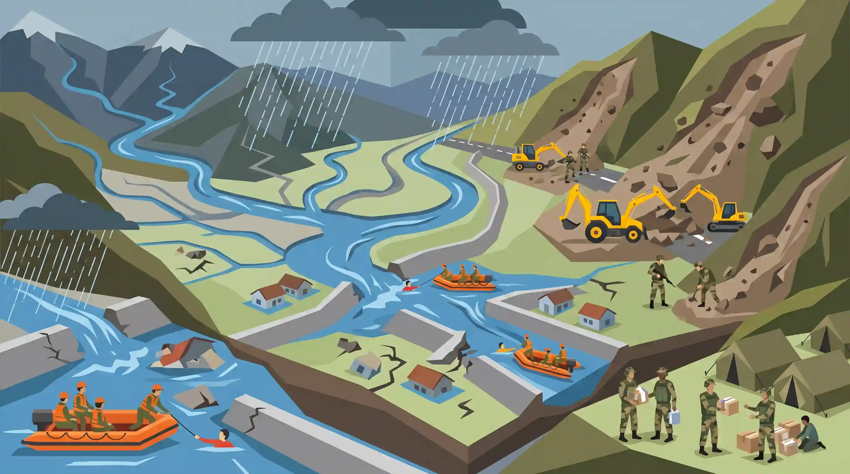
Severe flooding and landslides triggered by incessant rainfall have battered Manipur and other Northeastern states, causing significant damage in the Imphal Valley and surrounding hilly districts. Embankment breaches along the swollen Imphal, Iril, and Nambul rivers have inundated residential areas, damaging over 800 houses and affecting thousands. Multiple landslides have been reported across several districts. In response, a joint disaster management effort involving the SDRF, NDRF, Army, and Assam Rifles is underway for rescue and relief. The situation highlights the acute vulnerability of Northeast India to hydro-meteorological disasters and emphasizes the need for robust embankment infrastructure and landslide risk management strategies.
Key Points
- Incessant rainfall has caused severe floods and multiple landslides across Manipur, significantly affecting districts like Imphal East and Imphal West.
- Over 3,800 people have been affected, with large-scale damage to houses and critical infrastructure like hospitals and radio stations experiencing waterlogging.
- Swelling of major rivers (Imphal, Iril, and Nambul) led to embankment breaches, demonstrating vulnerabilities in flood control infrastructure.
- A coordinated disaster response is underway involving the SDRF, NDRF, Army, and Assam Rifles to carry out rescue and relief operations.
- The events underscore the high vulnerability of the geologically fragile and topographically challenging Northeastern region to climate-induced hydro-meteorological disasters.
Important Terms
NDRF (National Disaster Response Force)

A specialized force established under the Disaster Management Act, 2005, for responding to natural and man-made disasters. It operates under the Ministry of Home Affairs with personnel from Central Armed Police Forces.
UPSC context
GS Paper 3: Disaster Management. Tests knowledge of institutional frameworks for emergency response and central-state coordination.
SDRF (State Disaster Response Force)
State-level specialized forces trained to respond to disasters within their respective states. They act as the primary responders, working in coordination with the NDRF during severe calamities.
UPSC context
GS Paper 3: Disaster Management. Focuses on sub-national capacity building and the hierarchy of disaster response.
Assam Rifles
India's oldest paramilitary force, nicknamed 'Sentinels of the Northeast.' It performs dual roles: guarding the Indo-Myanmar border and providing humanitarian assistance and disaster relief in remote hilly regions.
UPSC context
GS Paper 3: Internal Security and Border Management. Tests understanding of paramilitary forces and regional security in Northeast India.
Indian Army (Disaster Role)
The primary branch of the Indian Armed Forces that provides 'aid to civil authority' during mega-disasters, leveraging its rapid deployment capabilities, engineering expertise, and medical support in remote terrains.
UPSC context
GS Paper 3: Disaster Management. Examines the military's logistical and operational role as a second responder in civil crises.
Water Resources Department
The state-level agency responsible for the planning, construction, and maintenance of flood control infrastructure, such as river embankments, and managing regional water resources to prevent inundation.
UPSC context
GS Paper 1: Geography (Drainage) & GS Paper 3: Disaster Management. Concerns structural measures for flood mitigation.
Prelims Trap
"The Assam Rifles operates entirely under the Ministry of Defence during disaster management and internal security operations."
Assam Rifles functions under a unique dual-control structure: administrative control lies with the Ministry of Home Affairs (MHA), while operational control rests with the Indian Army.
Static Concepts Connected
How does the drainage system of the Imphal Valley function?
- Major Rivers: The Imphal, Iril, and Nambul rivers form the primary drainage network for the bowl-shaped Imphal Valley.
- Flow Direction: Unlike many Himalayan rivers that flow east or west, these rivers predominantly flow southwards.
- Terminal Basin: These rivers ultimately discharge into Loktak Lake, making it a critical terminal basin for the region's hydrology.
What distinguishes the Assam Rifles from other CAPFs?
- Oldest CAPF: It is India's oldest Central Armed Police Force, primarily tasked with guarding the porous Indo-Myanmar border.
- Dual Control: It operates under a dual structure: administrative control under MHA, and operational control under the Indian Army.
- Disaster Relief Role: Due to its deep integration in the Northeast, it acts as a primary first-responder during natural disasters.
Cross-Topic Patterns
Bowl Topography + Urban Flooding
The Imphal valley's bowl-shaped topography traps water, mirroring valley-flooding challenges seen in Srinagar. Embankment breaches of rivers like the Nambul rapidly exacerbate this natural basin effect.
Landslide Strategy + Climate Anomalies
Intense rainfall anomalies are testing the limits of the 2019 Landslide Risk Management Strategy, highlighting the urgent need for strict enforcement of the 30-degree slope construction ban.

Expect a 2026 map-based prelims question linking the Nambul and Imphal river drainage basins directly to the Loktak Lake ecosystem.
Linked PYQs · 5
Linked PYQs · 5
- 2024MainsGS3
Flooding in urban areas is an emerging climate-induced disaster. Discuss the causes of this disaster. Mention the features of two such major floods in the last two decades in India. Describe the policies and frameworks in India that aim at tackling such floods.
- 2021MainsGS3
Describe the various causes and the effects of landslides. Mention the important components of the National Landslide Risk Management Strategy.
- 2019MainsGS3
Disaster preparedness is the first step in any disaster management process. Explain how hazard zonation mapping will help disaster mitigation in the case of landslides.
- 2024MainsGS3
What is disaster resilience? How is it determined? Describe various elements of a resilience framework. Also mention the global targets of Sendai Framework for Disaster Risk Reduction (2015–2030).
- 2020MainsGS1
The interlinking of rivers can provide viable solutions to the multi-dimensional inter-related problems of droughts, floods and interrupted navigation. Critically examine.
