Darma Valley geography and Rung community heritage
Source:timesofindia ↗
Why It Matters
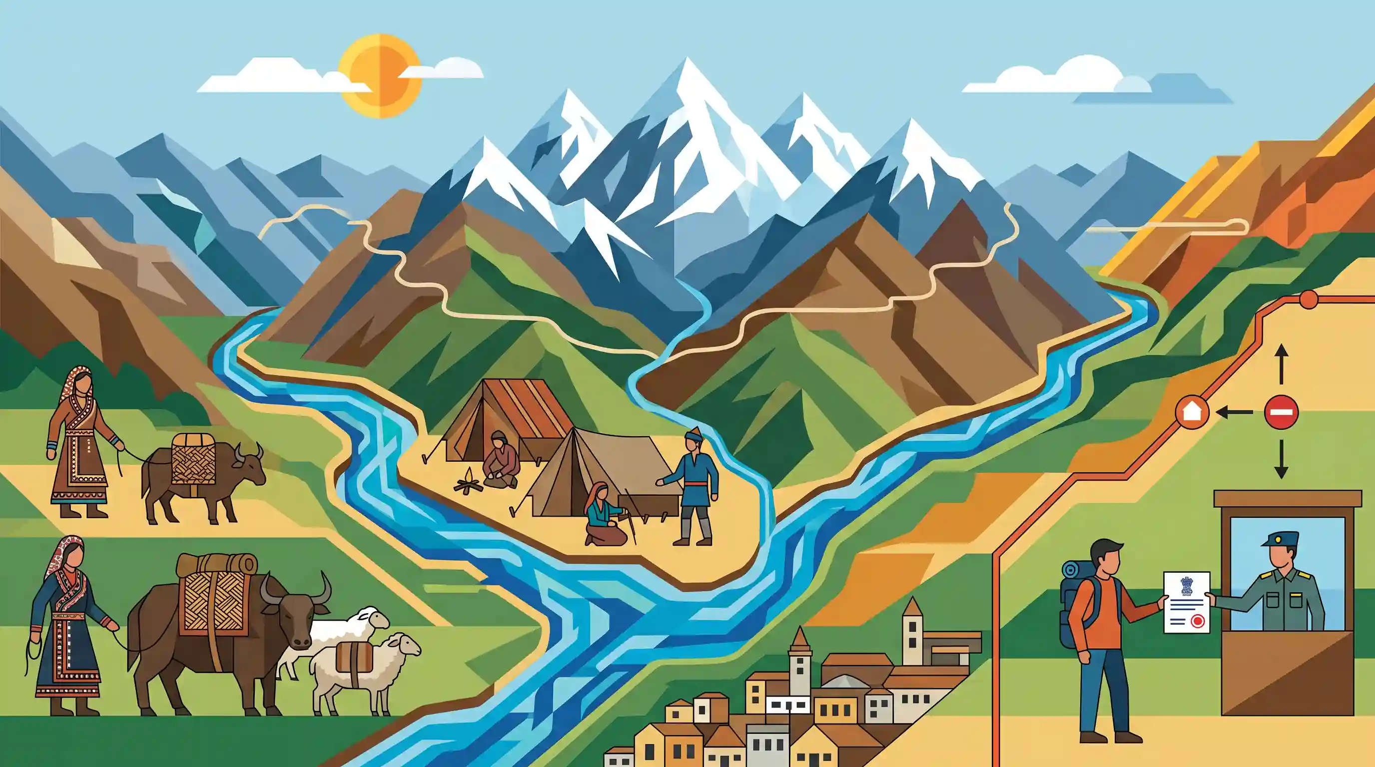
Darma Valley is a prime focus area for UKPSC PCS Prelims. It integrates key state-specific topics: Himalayan physical geography (tributaries of the Kali River like Eastern Dhauliganga, and peaks like Panchachuli), regional anthropology (Rung/Bhotiya trade history and transhumance), and border-zone security administration (Inner Line Permit and geopolitical borders).
Summary
This article highlights the remote Darma Valley in the Pithoragarh district of Uttarakhand's Kumaon region. It discusses the geographical features of the valley—including the Darma River (Darma Yankti), Eastern Dhauliganga river system, and the Panchachuli peaks—alongside its cultural significance as the traditional homeland of the Rung (Bhotiya) community of traders, who engaged in trans-Himalayan trade before the 1962 Indo-China War. It also details travel prerequisites such as the Inner Line Permit (ILP) required at the border town of Dharchula.
Key Points
- Darma Valley is located in the high-altitude Pithoragarh district of Uttarakhand's Kumaon division, running parallel to the Darma River (Darma Yankti) near the borders of Tibet (China) and Nepal.
- The valley's landscape is dominated by the majestic Panchachuli massif, a cluster of five snow-capped peaks exceeding 6,000 meters, which in local mythology represent the cooking hearths (chulhas) of the five Pandavas.
- It is the ancestral homeland of the indigenous Rung community, a sub-group of the Bhotia tribe, who historically maintained active trans-Himalayan trade relations with Tibet via high passes before the border was sealed during the 1962 Indo-China War.
- Key traditional settlements in the valley include Nagling, Baling, Dugtu, and Dantu, which showcase traditional wooden architectural motifs called 'patas'.
- Due to its strategic proximity to sensitive international borders, travelers must obtain an Inner Line Permit (ILP) from the Sub-Divisional Magistrate (SDM) office in Dharchula, the gateway town.
- To enter the valley, travelers pass through Tawaghat (where the Eastern Dhauliganga meets the Kali River) and Sobla, making it an ecologically and geographically sensitive river basin.
Important Terms
Inner Line Permit

A travel document issued by the government allowing Indian citizens to enter restricted or protected areas near sensitive international borders, regulating their entry and duration of stay.
UPSC context
GS Paper II (Border Management) & Paper III (Internal Security). Tests knowledge of border area administration and national security controls.
Darma Valley
A remote, high-altitude trans-Himalayan valley in Uttarakhand's Pithoragarh district, formed by the Darma River near the Sino-Indian border and known for its seasonal tribal migration.
UPSC context
GS Paper I (Geography of India). Tests knowledge of remote Himalayan geomorphology, physical landforms, and strategic border areas.
Eastern Dhauliganga
A prominent Himalayan river in the Kumaon region of Uttarakhand that originates near the Sino-Indian border, flows through Darma Valley, and merges with the Kali River at Tawaghat.
UPSC context
GS Paper I (Indian Geography). Tests understanding of Himalayan drainage systems, major river tributaries, and their confluences.
Rung Community
An indigenous sub-group of the Bhotiya Scheduled Tribe in Uttarakhand, traditionally residing in high-altitude Kumaon valleys and historically renowned for trans-Himalayan trade with Tibet.
UPSC context
GS Paper I (Indian Society/Geography). Tests familiarity with indigenous tribes, transhumance patterns, and socio-economic lifestyles of border communities.
Panchachuli Peaks
A majestic massif of five snow-capped Himalayan peaks in eastern Kumaon, Uttarakhand, forming a natural watershed between the Gori Ganga and Darmaganga river valleys.
UPSC context
GS Paper I (Physical Geography). Tests familiarity with major Himalayan mountain ranges, watersheds, and glacial geography of northern India.
Prelims Trap
The Eastern Dhauliganga is a tributary of the Alaknanda river that meets it at the confluence of Vishnuprayag.
Aspirants confuse Western Dhauliganga (Garhwal, joins Alaknanda at Vishnuprayag) with Eastern Dhauliganga (Kumaon, joins Kali River at Tawaghat). Only the former is part of the Alaknanda Panch Prayag system.
Static Concepts Connected
How do Eastern and Western Dhauliganga rivers differ geographically?
- Western Dhauliganga: Originates near Niti Pass, flows through Garhwal, and confluences with the Alaknanda at Vishnuprayag.
- Eastern Dhauliganga: Flows through Kumaon's Darma Valley and joins the Kali (Mahakali) River at Tawaghat.
- Basin Division: The Western river belongs to the Alaknanda/Ganga basin, whereas the Eastern belongs to the Sharda (Mahakali) river basin.
What are the features of transhumance among the Bhotiya tribe?
- Seasonal Migration: Practiced by moving families and livestock to high-altitude pastures in summer and returning to lower valleys in winter.
- Economic Activities: Includes summer agriculture/pastoralism, transitioning to wool-weaving and trading in lower valleys during the harsh winters.
- Trans-Himalayan Trade: Historically acted as crucial trade intermediaries between India and Tibet via high-altitude Himalayan passes.
Cross-Topic Patterns
Himalayan hydrology + Disaster vulnerability
The fragile geology of the Eastern Dhauliganga basin makes it highly susceptible to flash floods and landslides, complicating strategic border infrastructure development.
Border area development + Tribal integration
The Vibrant Villages Programme targets remote border valleys like Darma to stem migration, boost eco-tourism, and secure strategically sensitive borderlands.

UPSC 2026 may test the distinction between Eastern/Western Dhauliganga or map the Rung (Bhotia) tribe to Kumaon's Darma valley.
Linked PYQs · 3
Linked PYQs · 3
- 2012UKPSC_PRELIMSGS1
Which tribes of Uttarakhand had trade relations with Tibet before 1962 war with China?
- 2016UKPSC_PRELIMSGS1
Eastern Dhauliganga (Poorvi Dhauliganga) is a tributary of
- 2011UKPSC_PRELIMSGS1
Which tribe of Uttarakhand practices transhumance?
