NISAR Earth Observation Satellite Science Operations Phase
Source:The Hindu ↗
Why It Matters
The NISAR mission represents a hallmark of Indo-US space cooperation and pushes the boundaries of remote sensing technology. Questions regarding the applications of Earth observation satellites, synthetic aperture radar (SAR), and remote sensing data for agriculture, geography, and disaster resilience are recurring themes in both Prelims (GS1) and Mains (GS3).
Summary
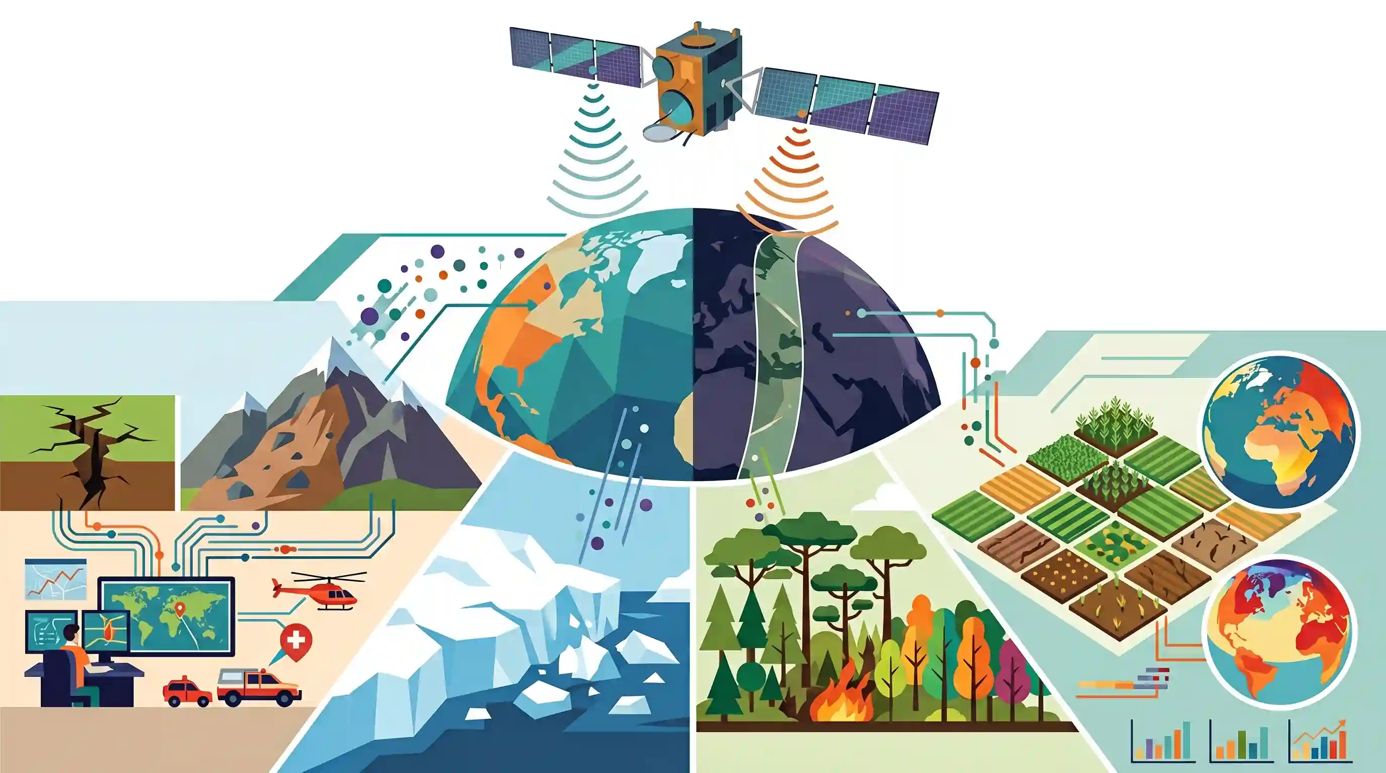
The NASA-ISRO Synthetic Aperture Radar (NISAR) Earth observation satellite has officially entered its final science operations phase. Developed collaboratively by the space agencies of the US and India, NISAR is an advanced satellite equipped with L-band and S-band synthetic aperture radar to scan the globe continuously. Providing all-weather, day-and-night data, the satellite is engineered to monitor Earth's complex processes, including ecosystem disturbances, ice-sheet collapse, and natural hazards like earthquakes and landslides. Its high-resolution data will be instrumental in studying global climate change, agriculture, and disaster management.
Key Points
- NISAR (NASA-ISRO Synthetic Aperture Radar) is a joint earth-observing mission by NASA and ISRO that has entered its final science operations phase.
- It features a dual-frequency synthetic aperture radar (L-band and S-band) that provides high-resolution, all-weather, and day-and-night imaging capabilities.
- The mission aims to measure Earth's changing ecosystems, dynamic surfaces, and ice masses, providing insights into climate change, sea-level rise, and groundwater changes.
- NISAR data will be crucial for monitoring and managing natural hazards like earthquakes, tsunamis, volcanoes, and landslides, as well as tracking agricultural biomass.
Important Terms
NISAR Mission

A joint NASA-ISRO satellite mission using dual-frequency radar to monitor Earth's surface changes, including ice-sheet collapse, ecosystem disturbances, and natural hazards like earthquakes.
UPSC context
GS-III (Science & Technology/Space); tests knowledge of major international space collaborations and India's role in global Earth observation.
Synthetic Aperture Radar (SAR)
An imaging technology that uses the motion of a satellite to simulate a large antenna, creating high-resolution images regardless of weather, light, or cloud cover.
UPSC context
GS-III (Science & Technology); focuses on technical principles of remote sensing and its application in disaster and environmental monitoring.
L-band and S-band
Microwave frequency ranges used in radar; L-band (NASA) penetrates thick vegetation and soil, while S-band (ISRO) is optimized for surface-level features like crops and wetlands.
UPSC context
GS-III (Science & Technology); tests awareness of specific electromagnetic spectrum applications and technical contributions by Indian vs. international agencies.
Remote Sensing
The science of obtaining information about Earth’s physical characteristics from a distance, typically via satellite, essential for mapping resources and tracking climate change.
UPSC context
GS-I (Geography) and GS-III (S&T); fundamental for topics on resource management, agricultural planning, and meteorological studies.
ISRO (Indian Space Research Organisation)
India's national space agency under the Department of Space, responsible for indigenous satellite development, planetary exploration, and international space partnerships like the NISAR mission.
UPSC context
GS-III (Achievements of Indians in S&T); central to questions on India's technological self-reliance and global standing in space research.
Disaster Management
The strategic organization of resources to mitigate the impact of hazards; NISAR aids this by providing real-time data on floods, landslides, and seismic activity.
UPSC context
GS-III (Disaster Management); tests the practical application of space technology in early warning systems and post-disaster response.
Prelims Trap
ISRO developed the L-band radar and the NISAR satellite operates from a Geosynchronous orbit.
NASA provided the L-band radar, ISRO provided the S-band. Furthermore, NISAR operates in a Low Earth Sun-Synchronous polar orbit, not geosynchronous.
Static Concepts Connected
How does Synthetic Aperture Radar (SAR) differ from Optical Imaging?
- Active Sensor: SAR transmits its own microwave pulses to illuminate targets, unlike optical sensors which passively rely on reflected sunlight.
- All-Weather capability: Microwaves penetrate clouds, fog, and darkness, enabling 24/7 observation. Optical imaging is frequently blocked by adverse atmospheric conditions.
- Surface mapping: SAR captures surface roughness, structural details, and dielectric properties (like soil moisture), complementing optical data which relies on visible/near-IR reflectance.
Why are active radar satellites placed in Dawn-to-Dusk Sun-Synchronous Orbits?
- Continuous power: The satellite travels along the day-night terminator line. This keeps its solar panels continuously illuminated by the sun, maximizing power generation for energy-heavy radar payloads.
- Consistent observation: It passes over the same latitudes at the exact same local solar time, ensuring uniform sun angles which is critical for change-detection analysis over months or years.
Cross-Topic Patterns
Space tech + Groundwater depletion mapping
NISAR measures surface subsidence at a centimeter scale, allowing scientists to track aquifer depletion rates. This connects space missions directly to GS1/GS3 water resource management.
L-band radar + Cryosphere dynamics
Deep-penetrating L-band radar maps sub-surface ice-sheet collapse and glacier movement, making NISAR a crucial data source for GS3 climate change and sea-level rise modeling.

Expect a multi-statement 2026 Prelims question mixing NISAR’s L/S-band payload developers (NASA vs ISRO) with its sun-synchronous orbit.
Linked PYQs · 3
Linked PYQs · 3
- 2015PrelimsGS1
In which of the following activities are Indian Remote Sensing (IRS) satellites used? 1. Assessment of crop productivity 2. Locating groundwater resources 3. Mineral exploration 4. Telecommunications 5. Traffic studies Select the correct answer using the code given below.
- 2019PrelimsGS1
For the measurement/estimation of which of the following are satellite images/remote sensing data used? 1. Chlorophyll content in the vegetation of a specific location 2. Greenhouse gas emissions from rice paddies of a specific location 3. Land surface temperatures of a specific location Select the correct answer using the code given below.
- 2024PrelimsGS1
Consider the following activities : 1. Identification of narcotics on passengers at airports or in aircraft 2. Monitoring of precipitation 3. Tracking the migration of animals In how many of the above activities can the radars be used?
