Yamuna River Crosses Danger Mark Causing Flooding in Delhi
Source:The Hindu ↗
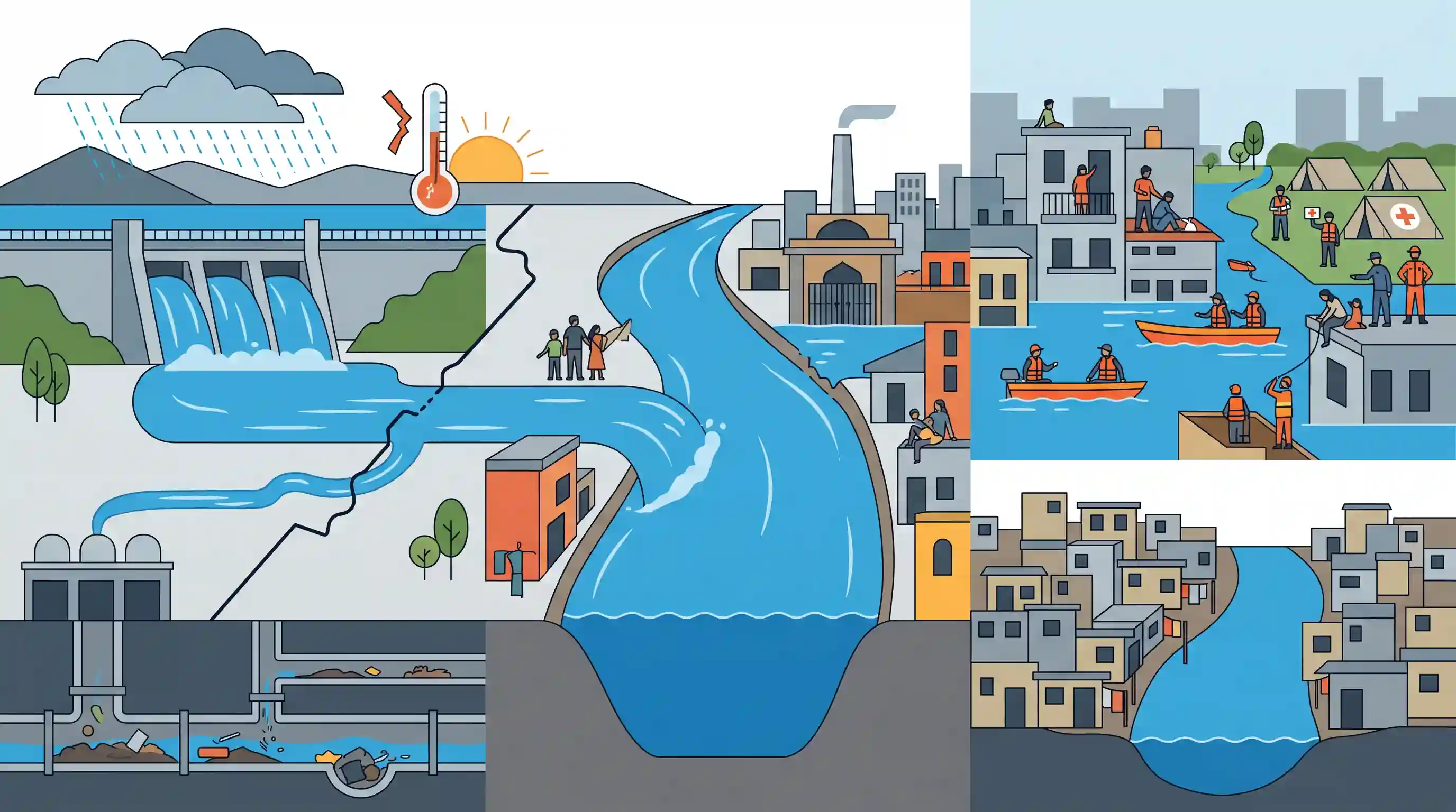
Why It Matters
The repeated flooding of India's national capital serves as a critical case study for UPSC aspirants on the disaster management challenges unique to metropolitan areas. It highlights the intersection of urban planning failures (floodplain encroachment), inter-state coordination issues (upstream barrage releases), and climate-induced extreme weather, making it highly relevant for questions on urban flooding in GS1 and GS3.
Summary
The Yamuna River breached the 207-metre mark in Delhi following heavy rainfall and substantial water discharges from the Hathnikund Barrage upstream. The resultant flooding submerged low-lying areas, displacing residents and forcing the closure of key facilities like the Nigambodh Ghat cremation ground. The NDRF and local authorities launched extensive rescue operations to move vulnerable populations to relief camps. The crisis once again underscores the severe challenges of urban flooding in metropolitan cities, exacerbated by unchecked floodplain encroachments, poor drainage infrastructure, and changing climate patterns causing extreme rainfall.
Key Points
- The Yamuna River water level crossed the critical 207-metre mark in Delhi, triggering severe flooding in low-lying riparian areas and forcing widespread evacuations.
- Massive volumes of water released from the Hathnikund Barrage in Haryana upstream significantly exacerbated the rising water levels in the capital.
- The flooding forced the closure of key public facilities located on the floodplains, including the Nigambodh Ghat, severely disrupting essential services.
- The NDRF and local administration conducted urgent rescue and relief operations, relocating affected residents from areas like Yamuna Khadar to temporary relief camps.
- This recurring crisis highlights severe systemic vulnerabilities in Delhi's urban planning, driven by floodplain encroachment, extreme rainfall events, and inadequate drainage infrastructure.
Important Terms
National Disaster Response Force (NDRF)

A specialized force established under the Disaster Management Act, 2005, for search, rescue, and relief operations during calamities. Its motto is "Aapada Seva Sadaiv Sarvatra."
UPSC context
GS Paper 3 (Disaster Management); tests institutional frameworks for emergency response and crisis management.
Urban Flooding
Inundation of densely populated areas caused by extreme rainfall, poor drainage, and encroachment. It is an emerging climate-induced disaster exacerbated by unplanned urbanization.
UPSC context
GS Paper 3 (Environment & Disaster Management); relevant for questions on urban planning and resilience.
Floodplain Management
Strategies to regulate land use in flood-prone areas. Includes "Floodplain Zoning" to protect river ecosystems and ensure natural flow during peak discharge.
UPSC context
GS Paper 1 & 3; tests understanding of geographical features and disaster mitigation through land-use planning.
India Meteorological Department (IMD)
India's principal agency for meteorology and weather forecasting. It provides early warnings for cyclones and heavy rainfall to support disaster preparedness.
UPSC context
GS Paper 1 (Geography); essential for topics on monsoon patterns and disaster warning systems.
Hathnikund Barrage
A concrete barrage in Haryana used for regulating Yamuna’s flow. Its water release significantly impacts flood levels in downstream Delhi during monsoons.
UPSC context
GS Paper 2 (Inter-state Relations); relevant for inter-state water sharing and disaster coordination.
National Disaster Management Authority (NDMA)
The apex body for disaster management in India, chaired by the Prime Minister. It formulates policies and guidelines for effective disaster response.
UPSC context
GS Paper 3 (Governance); central to India's disaster management architecture.
Prelims Trap
"The Hathnikund storage dam in Haryana prevents Yamuna floods in Delhi."
Hathnikund is a barrage, not a storage dam. It lacks reservoir capacity and acts as a diversion structure, forcing it to release excess rainfall downstream to Delhi.
Static Concepts Connected
What are the key geographical features of the Yamuna River system?
- Origin: Originates from the Bandarpoonch peak (Yamunotri glacier) in the Garhwal Himalayas of Uttarakhand.
- States Traversed: Flows through Uttarakhand, Himachal Pradesh, Haryana, Delhi, and Uttar Pradesh before joining the Ganga at Prayagraj.
- Major Tributaries: Right bank: Chambal, Sind, Betwa, Ken. Left bank: Tons (largest tributary), Hindon.
What is 'Floodplain Zoning' under NDMA guidelines?
- Core Principle: A non-structural measure aiming to regulate land use in floodplains to minimize damage from riverine flooding.
- Vulnerability Mapping: Delineates areas based on flood frequency (e.g., 10-year, 25-year, 100-year flood cycles) to determine permissible activities.
- Strict Prohibitions: Prohibits permanent structures, hospitals, or schools in the 10-year flood zone, reserving it purely for parks or greenery.
Cross-Topic Patterns
Inter-state river basin governance
Upstream barrages (Haryana) dictating downstream flooding (Delhi) highlights the urgent need for integrated river basin authorities rather than fragmented state controls for disaster mitigation.
Floodplains as urban aquifers
Encroaching riparian zones like Yamuna Khadar destroys the city's natural sponge, connecting urban flooding directly to the loss of seasonal groundwater recharge capacity.

Expect a Mains GS3 question directly linking extreme weather, floodplain concretization, and NDMA's urban flooding guidelines in 2026.
Linked PYQs · 3
Linked PYQs · 3
- 2024MainsGS3
Flooding in urban areas is an emerging climate-induced disaster. Discuss the causes of this disaster. Mention the features of two such major floods in the last two decades in India. Describe the policies and frameworks in India that aim at tackling such floods.
- 2020MainsGS1
Account for the huge flooding of million cities in India including the smart ones like Hyderabad and Pune. Suggest lasting remedial measures.
- 2021MainsGS1
What are the environmental implications of the reclamation of water bodies into urban land use ? Explain with examples.
