UN Map Depiction of Border Territories and Diplomatic Implications
Source:The Hindu ↗
हे का महत्त्वाचे आहे
It highlights the diplomatic implications of international bodies adopting ambiguous cartographic representations of sovereign Indian territory, challenging India's foreign policy stance on bilateral dispute resolution without external interference.
सारांश
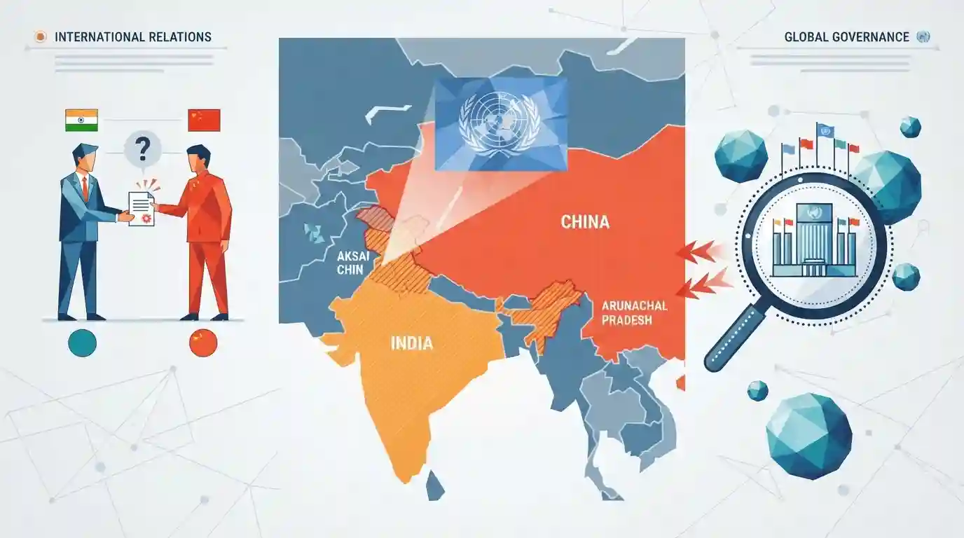
A recent United Nations map has sparked a diplomatic row by depicting Arunachal Pradesh and Aksai Chin as territories caught between Indian and Chinese claim lines, drawing sharp focus on India's territorial sovereignty and how international organizations map disputed borders.
मुख्य मुद्दे
- A new United Nations map depicts Arunachal Pradesh and Aksai Chin as territories caught between the Indian claim line and the Chinese claim line.
- This portrayal departs from standard international neutral depiction or complete adherence to sovereign national boundaries, raising diplomatic concerns for India.
- India has consistently maintained that Arunachal Pradesh and Aksai Chin are integral and inalienable parts of its territory, rejecting any third-party or international organization's mapping that equates sovereign Indian territory with disputed claim lines.
महत्त्वाच्या संज्ञा
United Nations

An international organization founded in 1945 to maintain international peace and security, develop friendly relations among nations, and promote global cooperation on social, economic, and humanitarian issues.
UPSC context
UPSC GS Paper II (International Relations): Essential for understanding global governance, international law, UN resolutions, and multilateral diplomacy.
UN
The primary intergovernmental organization responsible for maintaining global peace, security, and international law, whose official cartographic depictions of disputed borders hold significant geopolitical sensitivity.
UPSC context
UPSC GS Paper II (International Relations & Global Groupings): Focuses on institutional roles, India's diplomatic engagements, and multilateral stances on territorial sovereignty.
संबंधित स्थिर संकल्पना
What are the major historical boundary lines and treaties defining India's northern and eastern borders?
- McMahon Line: The boundary between India and Tibet was formalised at the 1914 Simla Conference, establishing the McMahon Line.
- Aksai Chin: Aksai Chin represents an area historically claimed as part of the princely state of Jammu and Kashmir, now under Chinese occupation.
- LAC Concept: The Line of Actual Control (LAC) separates Indian-controlled territory from Chinese-controlled territory across the Western, Middle, and Eastern sectors.
आंतर-विषय नमुने
Cartography & Bilateral Border Pacts
Cartographic controversies in international bodies often intersect with treaty obligations and bilateral border protocols like the 1993 and 1996 LAC Maintenance Agreements.
Multilateral Organizations & Territorial Sovereignty
UN institutional mapping practices for disputed territories mirror broader multilateral challenges regarding sovereignty recognition and neutral observer mandates in South Asia.

UN cartographic errors regarding Indian borders will likely feature in a statement-based IR question on sovereign claims vs neutral mapping.
संबंधित PYQ · 2
संबंधित PYQ · 2
- 2025MainsGS2
"The reform process in the United Nations remains unresolved, because of the delicate imbalance of East and West and entanglement of the USA vs. Russo-Chinese alliance.” Examine and critically evaluate the East-West policy confrontations in this regard.
- 2014MainsGS2
With respect to the South China sea, maritime territorial disputes and rising tension affirm the need for safeguarding maritime security to ensure freedom of navigation and over flight throughout the region. In this context, discuss the bilateral issues between India and China.
