Patliputra Satellite Township Planned to Decongest Patna
Source:insidebihar ↗
Why It Matters
Urban congestion and infrastructure deficits are critical challenges in Bihar's development. This proposed satellite township illustrates state-level urban planning and decentralization strategies, which are highly relevant for BPSC questions on urbanization and regional development.
Summary
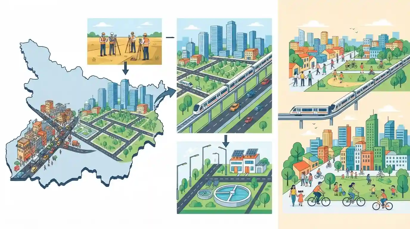
The Bihar government is advancing the development of the Patliputra Satellite Township, which will be roughly 1.5 times larger than the existing city of Patna. Aimed at decongesting the capital by alleviating traffic and housing pressures, the planned urban center will feature modern infrastructure, green spaces, and possible integration with the Patna Metro network. An initial land survey is already underway.
Key Points
- The Bihar government is planning the Patliputra Satellite Township to ease population and infrastructure pressure on Patna.
- The new township is projected to be approximately 1.5 times the size of the existing capital city.
- A land survey has already commenced, and development will initially focus on building a robust core area.
- The township may feature future connectivity to the Patna Metro network to encourage seamless public transportation.
- The project emphasizes environmentally sustainable urban planning, adequate green spaces, and local employment opportunities.
Important Terms
Patliputra Satellite Township

An upcoming greenfield urban center near Patna. Developed via a land pooling model, it aims to decongest the existing capital by providing modern infrastructure, commercial hubs, and extensive green spaces.
UPSC context
Highly relevant for GS Paper 2 (Bihar Geography and Economy) regarding urban planning, decongestion, and infrastructure development initiatives.
Patna Metro
A rapid transit system under construction in Bihar's capital, spanning over 30 kilometers across two corridors. Managed by the Patna Metro Rail Corporation, it aims to ease urban traffic and modernize public transportation.
UPSC context
Important for GS Paper 2 (Infrastructure in Bihar) and Prelims current affairs on major state-led mobility projects.
Urban Development and Housing Department
The nodal department of the Bihar government responsible for the planned growth of cities, infrastructure development, civic service delivery, and affordable housing through urban local bodies.
UPSC context
Relevant for GS Paper 2 (Polity and Governance in Bihar) regarding the administration and execution of state urban policies.
Prelims Trap
"Bihar's overall urbanization rate stood at 15.3% according to the 2011 Census."
Aspirants often confuse the actual 2011 Census figure (11.3%) with the updated Bihar Economic Survey estimate (15.3%). Exam setters frequently exploit this exact statistical gap.
Static Concepts Connected
What are the key urbanization metrics and regional disparities in Bihar?
- 2011 Census Baseline: Bihar's urbanization was recorded at just 11.3%, making it one of the least urbanized states in India.
- Recent Estimates: Due to the re-classification of rural areas into Nagar Panchayats/Parishads, urbanization has increased to 15.3% (Bihar Economic Survey).
- Regional Disparity: Patna district has the highest urbanization rate at ~44.3%, while districts like Banka and Madhubani remain highly rural.
What is the Land Pooling mechanism used under the Town Planning Scheme (TPS)?
- Voluntary Surrender: Landowners voluntarily pool and hand over land parcels to a government development authority instead of facing forced land acquisition.
- Infrastructure Development: The government utilizes a portion of the land to develop core urban infrastructure like roads, sewage, and green spaces.
- Value Appreciation: A fraction of the newly developed, higher-value land is returned to the original owners, providing them with appreciated capital assets.
Cross-Topic Patterns
Ancient History meets Urban Planning
The naming of new greenfield townships directly maps to Bihar's ancient mahajanapadas and heritage sites, merging current urban infrastructure with ancient history (e.g., Ang for Munger, Vikramshila for Bhagalpur).
Urban expansion vs. Punpun floodplains
Locating the Patliputra township in the Punpun region intersects with disaster management and geography, as the Punpun river is a major flood-bearing tributary of the Ganges.

Expect a match-the-following prelims question pairing the proposed satellite cities with their ancient historical names (e.g., Ang-Munger).
Linked PYQs · 3
Linked PYQs · 3
- 2024-EBPSC_PRELIMSGS1
Which of the following centres in Bihar is proposed to develop under Vishnupad Yojana for promotion of tourism in Union Budget 2024?
- 2025BPSC_PRELIMSGS1
Which districts in Bihar will benefit from the Kosi Mechi Link Project?
- 2025BPSC_PRELIMSGS1
Where was the National Panchayati Raj Day 2025 event organised?
