Sundarbans Flood Mitigation Study Report Submitted to State
Source:theprint ↗
Why It Matters
Important for West Bengal civil services aspirants tracking major infrastructural, environmental policy shifts, and international climate adaptation partnerships in the Sundarbans region.
Summary
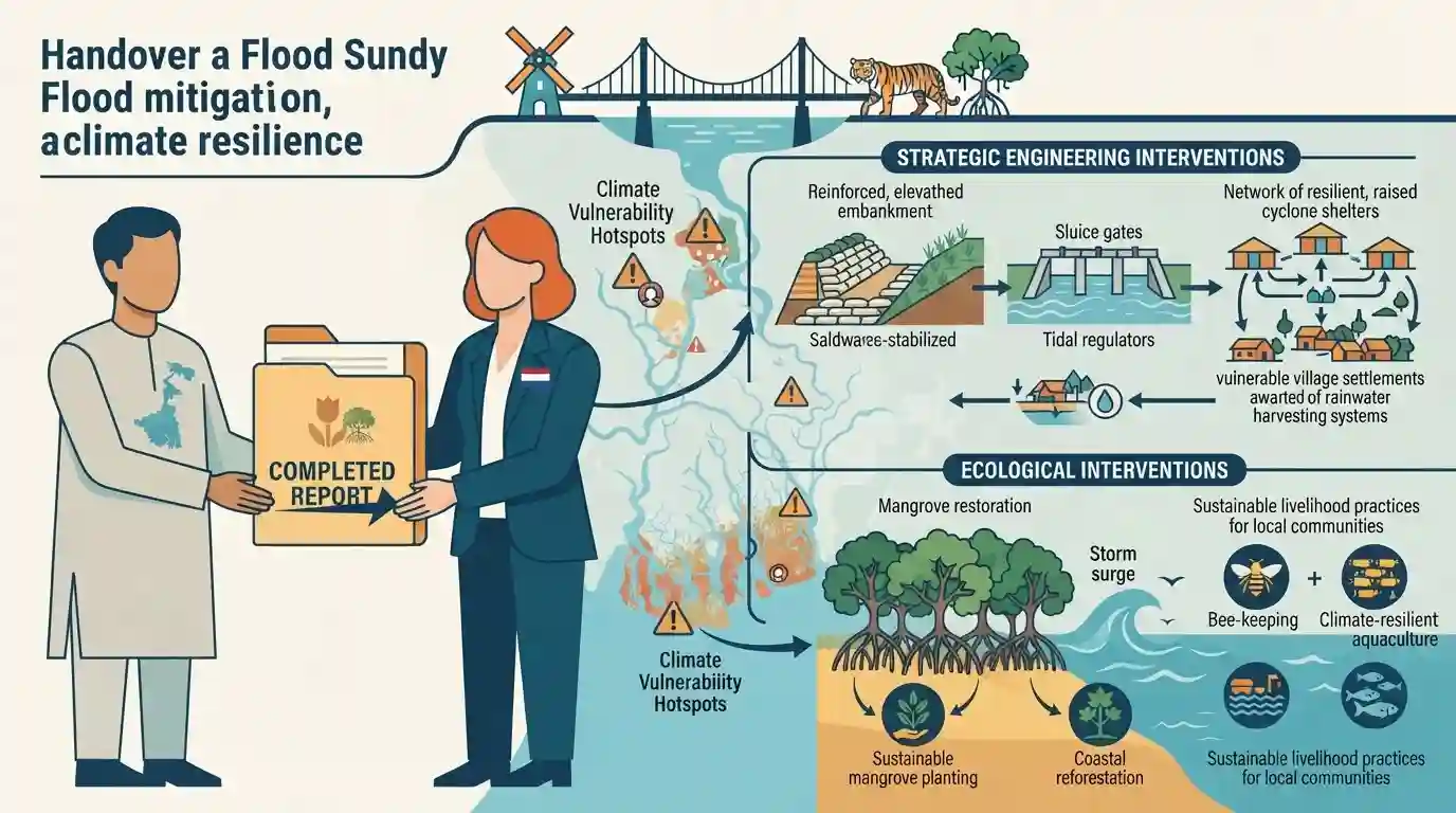
The Netherlands-funded study on flood mitigation and climate resilience in the Sundarbans has officially completed its report, which has been handed over to the West Bengal government. The comprehensive assessment provides strategic engineering and ecological interventions to manage severe flooding, coastal erosion, and climate change vulnerabilities in the world's largest mangrove delta.
Key Points
- A Netherlands-funded comprehensive study on flood and erosion mitigation in the ecologically fragile Sundarbans has been completed and its report submitted to the West Bengal government.
- The study focuses on strategic frameworks to combat rising sea levels, severe cyclonic impacts, and riverbank erosion threatening human lives and biodiversity in the deltaic region.
- It highlights international cooperation and technical expertise sharing (specifically Dutch water management know-how) to address climate vulnerabilities in coastal West Bengal.
Important Terms
Sundarbans

The world's largest mangrove delta shared between India and Bangladesh, highly vulnerable to rising sea levels, severe cyclones, coastal erosion, and saline water intrusion.
UPSC context
Important for WBCS Paper I (Geography of West Bengal) and Paper II (Environmental conservation and disaster management).
Netherlands-Funded Sundarbans Study
A multi-year technical cooperation initiative between the West Bengal administration and Dutch experts focusing on nature-based solutions and engineering interventions for coastal protection.
UPSC context
Relevant for WBCS current affairs, international cooperation, and state-level disaster mitigation policy.
Nature-Based Solutions
Strategies that utilize natural features like mangroves and wetlands, combined with low-impact engineering, to build resilience against climate change and coastal hazards.
UPSC context
Crucial for WBCS Paper II (Environment, Biodiversity, and Climate Change).
Prelims Trap
Netherlands-funded study directly commissioned through Union Ministry of Jal Shakti without state consultation.
Aspirants often assume international funding for state projects requires direct Union Cabinet clearance, missing that MoUs/LoIs on state-level water studies can be signed directly by state bodies under specific concurrent/state list subjects.
Static Concepts Connected
What are the key geographical and ecological features of the Sundarbans?
- Delta Formation: World's largest mangrove delta formed by the confluence of the Ganga, Brahmaputra, and Meghna rivers.
- Biodiversity Hub: Home to the endangered Royal Bengal Tiger and designated as a UNESCO World Heritage Site and Ramsar wetland.
- Flora & Fauna: Characterized by high tidal amplitude, saline soil, and dense mangrove forests dominated by Sundri trees (Heritiera fomes).
Cross-Topic Patterns
Delta Management & International Water Cooperation
The Dutch Delta Plan expertise applied to the Sundarbans mirrors multi-lateral river basin governance frameworks frequently tested in Mains GS Paper II.

Expect a direct prelims match on the Sundarbans sea-level rise rate (approx 3 cm/yr) or the Indo-Dutch delta management LoI of 2022.
Linked PYQs · 2
Linked PYQs · 2
- 2024WBCS_PRELIMSGS1
On a per hectare basis which of the following forests will hold maximum amount of carbon?
- 2019WBCS_PRELIMSGS1
Sundarban is declared as 'World Heritage Site' for
