Uttarakhand Offers Relief to Nepal Flood Victims
Source:ani ↗
Why It Matters
This event underscores the geographical and cultural contiguity between Uttarakhand and Nepal. It is relevant for UKPSC Prelims as questions frequently target Uttarakhand's border districts (like Pithoragarh and Champawat), their international boundaries, and the shared vulnerability of the Himalayan ecosystem to natural disasters.
Summary
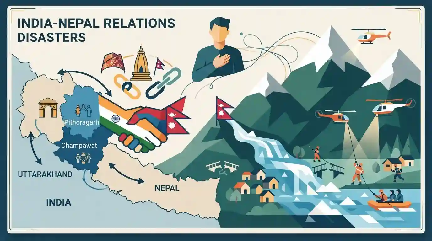
Uttarakhand Chief Minister Pushkar Singh Dhami extended his condolences to Nepal over the recent flash floods in the Rasuwa region. Emphasizing that "Nepal's pain is Uttarakhand's pain," he highlighted the strong cultural ties, shared traditions, and historical "roti-beti" relations between the two regions, particularly involving Uttarakhand's border districts like Pithoragarh and Champawat. Dhami also noted that both regions share the fragile Himalayan geography, making them similarly susceptible to natural disasters, and lauded ongoing relief and rescue efforts.
Key Points
- Uttarakhand Chief Minister Pushkar Singh Dhami expressed deep sorrow over the flash floods in Nepal's Rasuwa region caused by the Bhote Koshi River.
- He highlighted the shared culture, traditions, and deep-rooted "roti-beti" relations between Nepal and Uttarakhand, particularly the border districts of Pithoragarh and Champawat in the Kumaon region.
- The CM emphasized that the similar geographical conditions of the Himalayan region make both Uttarakhand and Nepal highly vulnerable to natural disasters.
Prelims Trap
Only Pithoragarh and Champawat districts of Uttarakhand share an international border with Nepal.
False. Udham Singh Nagar also borders Nepal. Uttarakhand shares a 275-km international boundary with Nepal across exactly three districts: Pithoragarh, Champawat, and Udham Singh Nagar.
Static Concepts Connected
Which Uttarakhand districts border Nepal and what defines the boundary?
- Bordering Districts: Pithoragarh, Champawat, and Udham Singh Nagar form a 275-km border with Nepal. Pithoragarh uniquely borders both Nepal and Tibet.
- Natural Boundary: The Kali (Mahakali) River acts as the natural and historical boundary between the Kumaon region and Nepal.
- Treaty Basis: The 1816 Treaty of Sugauli established this riverine boundary following the Anglo-Nepalese War, anchoring modern territorial definitions.
Why are transboundary Himalayan rivers like Bhote Koshi prone to extreme flash floods?
- GLOF Vulnerability: Upper catchments in Tibet and Nepal hold fragile glacial lakes that are highly susceptible to sudden outbursts (GLOFs).
- Steep Gradient: Rivers plunge rapidly through faults like the Main Central Thrust, generating massive erosive power during intense precipitation.
Cross-Topic Patterns
Disaster diplomacy + Transboundary water
Flood events in Nepal (Bhote Koshi) eventually impact the Koshi basin in India, highlighting the critical need for joint Early Warning Systems (EWS) and active disaster diplomacy in the Himalayas.
Kalapani dispute + Soft power
The deep "roti-beti" kinship between Kumaon and western Nepal serves as a vital soft-power buffer against recent geopolitical friction over the Lipulekh-Kalapani territorial mapping disputes.

Border districts (Pithoragarh, Champawat, US Nagar) and transboundary rivers (Kali, Koshi) are highly probable mapping questions.
Linked PYQs · 3
Linked PYQs · 3
- 2024UKPSC_PRELIMSGS1
Hindu religious pilgrimage place named 'Purnagiri' is situated in which of the following districts of Uttarakhand ?
- 2025UKPSC_PRELIMSGS1
Which of the following is the correct order of the following physiographic regions of Uttarakhand from south to north direction?
- 2025UKPSC_PRELIMSGS1
Which of the following pairs is not correctly matched ? Name of Airport District
