Pakistan Floods Expose Climate Vulnerability of Mountain Terrains
Source:Indian Express ↗
Why It Matters
The devastating floods in Pakistan serve as a crucial case study for the vulnerability of mountainous terrains (similar to the Himalayas in India) to extreme weather events like cloudbursts and flash floods. It is relevant for understanding disaster preparedness, the challenges of rescue operations in adverse weather, and the broader impacts of climate change on the South Asian monsoon.
Summary
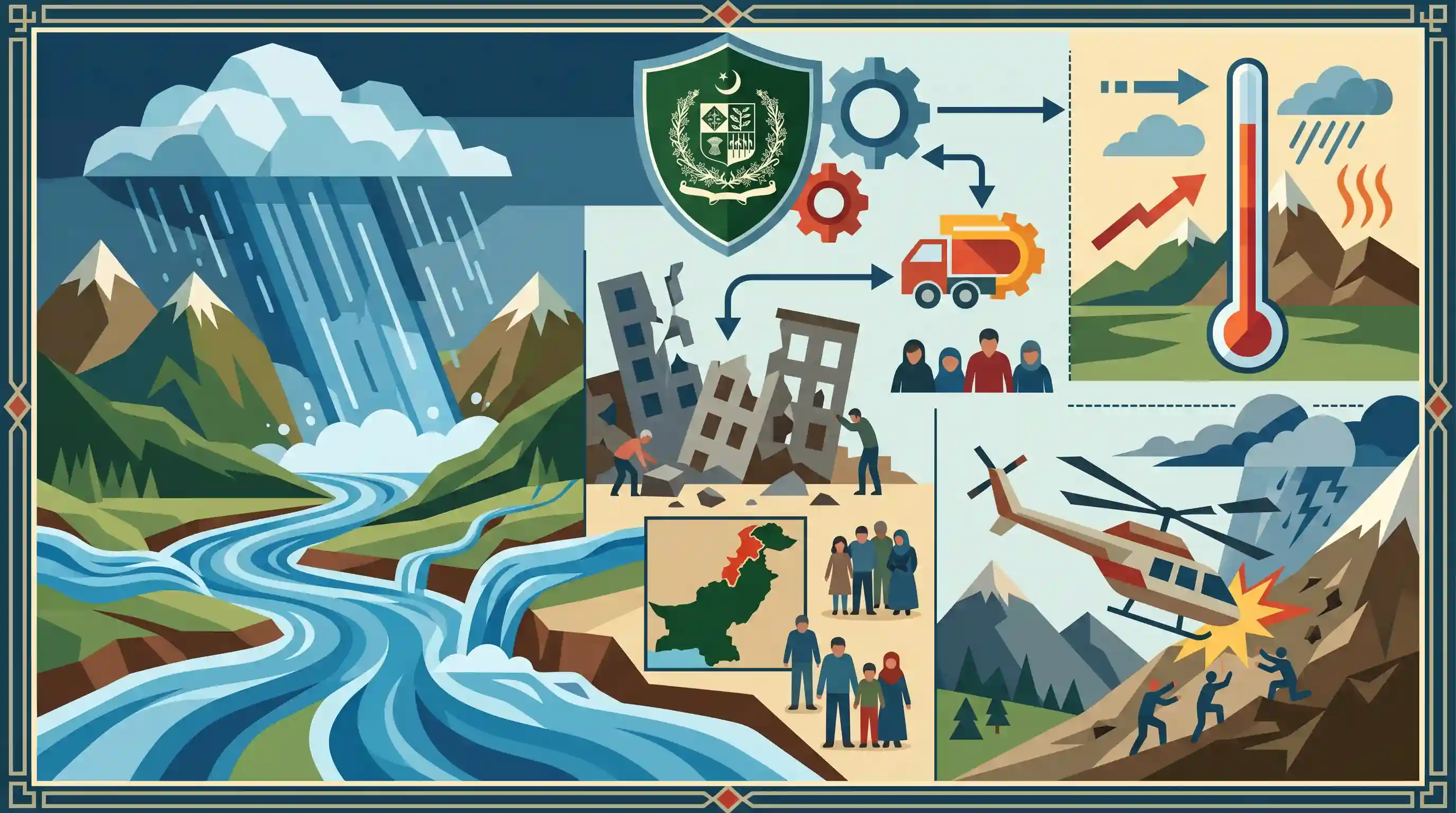
Unusually heavy monsoon rains, compounded by cloudbursts and flash floods, have caused massive devastation in the mountainous Khyber Pakhtunkhwa province of Pakistan. The catastrophic weather events led to building collapses and swelling rivers, resulting in nearly 200 deaths, with the Buner area recording the highest casualties. Rescue and relief operations have been severely hampered by the conditions, underscored by the crash of a relief helicopter in Bajaur. The crisis, overseen by Pakistan's National Disaster Management Authority, highlights the acute vulnerability of mountainous topographies to climate-induced extreme weather and the complex challenges of disaster preparedness and response.
Key Points
- Torrential rains, cloudbursts, and flash floods in northwest Pakistan claimed the lives of nearly 200 people, mostly in Khyber Pakhtunkhwa province.
- The National Disaster Management Authority (NDMA) reported 194 fatalities, with the Buner area being the worst hit, accounting for 100 deaths.
- A rescue helicopter carrying relief supplies crashed in Bajaur due to extreme weather, resulting in the death of five crew members.
- In the Swat district, swelling rivers and streams forced the relocation of over 2,000 people to safer grounds.
- The disaster reflects the growing frequency of extreme weather events and unusually heavy monsoon rains in the region, prompting an emergency review by Prime Minister Shahbaz Sharif.
Important Terms
Cloudburst

A sudden, extreme rainfall event (usually >100mm/hour) over a small area (approx. 20-30 sq km), common in mountainous regions like the Himalayas due to rapid moisture condensation.
UPSC context
GS Paper 1 (Geography) and GS 3 (Disaster Management). Tests understanding of extreme weather phenomena and their geohydrological impacts.
Flash Floods
Rapid flooding of low-lying areas occurring within six hours of intense rainfall, dam failures, or glacial outbursts. It is characterized by high velocity and minimal warning time.
UPSC context
GS Paper 3 (Disaster Management). Tests knowledge of hazard types, mitigation strategies, and the impact of urbanization on drainage.
National Disaster Management Authority (NDMA)
India’s apex statutory body for disaster management, chaired by the Prime Minister. Established under the Disaster Management Act (2005), it formulates policies, plans, and guidelines for disaster response.
UPSC context
GS Paper 3 (Disaster Management). Tests understanding of India's institutional framework and the shift from relief-centric to proactive mitigation.
Climate Resilience
The capacity of communities and ecosystems to anticipate, prepare for, and recover from climate-related shocks. It integrates adaptation and mitigation to manage risks from extreme weather.
UPSC context
GS Paper 3 (Environment/Disaster Management). Tests ability to propose long-term solutions for climate-induced hazards and sustainable development.
Monsoon System
A seasonal reversal of wind direction that dictates South Asia's climate. The Southwest Monsoon (June–September) provides most of India's annual rainfall, impacting agriculture and water security.
UPSC context
GS Paper 1 (Geography). Core topic for climate mechanisms, ITCZ shifts, and the socio-economic impact of seasonal rainfall.
Prelims Trap
A cloudburst is any sudden heavy rainfall exceeding 100 mm over a large geographical area in a single day.
The IMD defines a cloudburst strictly by intensity and micro-region: precipitation exceeding 100 mm *per hour* over a small area of just 20 to 30 square kilometers.
Static Concepts Connected
What causes cloudbursts in mountainous terrains?
- Orographic Lifting: Warm, moisture-laden winds are forced to rise rapidly along steep topographical slopes, cooling quickly.
- Cumulonimbus Clouds: This rapid, vertical ascent forms towering cumulonimbus clouds, causing sudden and massive condensation.
- IMD Criteria: The IMD classifies a cloudburst when rainfall exceeds 100 mm per hour over a concentrated area of 20-30 sq km.
What are the major right-bank tributaries of the Indus?
- Kabul River: A major right-bank tributary originating in the Hindu Kush, joining the Indus near Attock in Pakistan.
- Swat River: A significant tributary of the Kabul River, flowing through the mountainous Khyber Pakhtunkhwa province.
- Other Tributaries: The Kurram, Tochi, and Gomal rivers also join the Indus on its right bank, draining the Sulaiman ranges.
Cross-Topic Patterns
Climate risk + Monsoon dynamics
Global warming increases the atmosphere's moisture-holding capacity, shifting the monsoon from evenly distributed rains to short-duration, high-intensity events that frequently trigger flash floods.
Indus Basin + Transboundary disasters
Devastation in the Indus watershed (Swat/Kabul rivers) mirrors Indian Himalayan challenges, highlighting the necessity of integrated hazard zonation mapping across mountainous borderlands.

Expect a pairing of right-bank Indus tributaries (Swat, Kabul) with the IMD's precise numerical criteria for cloudbursts in 2026.
Linked PYQs · 5
Linked PYQs · 5
- 2022MainsGS3
Explain the mechanism and occurrence of cloudburst in the context of the Indian subcontinent. Discuss two recent examples.
- 2024MainsGS1
What is the phenomenon of 'cloudbursts'? Explain.
- 2016MainsGS3
Rehabilitation of human settlements is one of the important environmental impacts which always attracts controversy while planning major projects. Discuss the measures to be adopted to mitigate the impact of the recent incidents of cloudbursts in many places of Uttarakhand.
- 2019MainsGS3
Disaster preparedness is the first step in any disaster management process. Explain how hazard zonation mapping will help disaster mitigation in the case of landslides.
- 2014MainsGS3
Drought has been recognized as a disaster in view of its spatial expanse, temporal duration, slow onset and lasting effects on vulnerable sections. With a focus on the September 2010 guidelines from the National Disaster Management Authority (NDMA), discuss the mechanisms for preparedness to deal with likely El Niño and La Niña fallouts in India.
