Bihar Flood Impact and Rising River Water Levels
Source:watchers-news ↗
Why It Matters
Extremely crucial for BPSC aspirants as flood management, river systems (Kosi, Gandak, Ganga), and disaster vulnerability are core components of Bihar's regional geography and administrative preparedness.
Summary
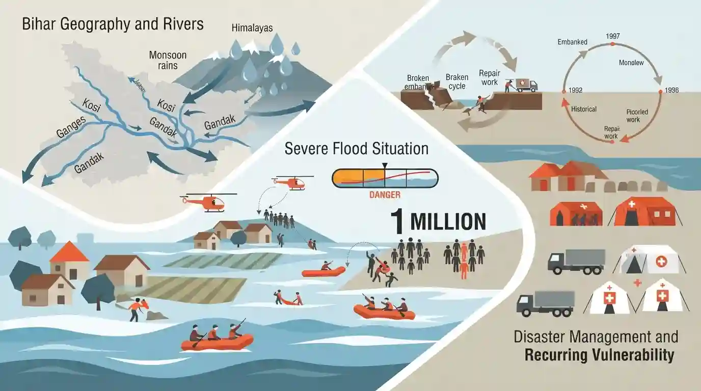
A severe flood situation in Bihar has affected nearly 1 million people, with major rivers flowing above the danger level due to heavy monsoon rains and upstream water discharge, highlighting the recurring vulnerability of the region to seasonal flooding.
Key Points
- Nearly 1 million people affected by severe floods in Bihar as major rivers remain above the danger mark.
- Monsoon rainfall patterns and water discharge from neighboring regions/Nepal significantly impact Bihar's river levels (including Kosi, Gandak, Ganga).
- Floods disrupt local communities, agriculture, and infrastructure across multiple districts in Bihar.
Important Terms
Bihar State Disaster Management Authority

The apex statutory body in Bihar responsible for formulating disaster management policies, planning mitigation strategies, and coordinating relief operations against recurring natural calamities like floods and earthquakes.
UPSC context
Crucial for BPSC General Studies Paper II (Disaster Management and State Governance), testing institutional frameworks for mitigation and relief.
Prelims Trap
floods in Bihar are exclusively caused by heavy monsoon rainfall within the state's territorial boundaries
Aspirants often assume all major North Bihar floods originate solely from local rainfall within the state, ignoring the critical role of upstream discharge from Nepal.
Static Concepts Connected
What are the principal river systems causing recurrent floods in North Bihar and their origins?
- Kosi River: Kosi River originates in Tibet/Nepal (known as the 'Sorrow of Bihar') and is notorious for shifting its course rapidly.
- Gandak River: Gandak River originates in the Tibet-Nepal border region (Himalayas) and enters Bihar near Valmiki Nagar.
- Bagmati & Kamla: Bagmati and Kamla-Balan rivers originate in the Mahabharat Range in Nepal and enter North Bihar carrying heavy silt.
Cross-Topic Patterns
Bihar Floods and India-Nepal Riparian Diplomacy
Bihar flood management intersects directly with international riparian diplomacy between India and Nepal, especially regarding barrage management and upstream dam releases on the Kosi and Gandak rivers.
Disaster Management and Rural Livelihoods in Bihar
Repeated agricultural devastation in North Bihar links disaster management frameworks with rural livelihood loss, migration patterns, and the socio-economic distress captured in BPSC economic surveys.

Expect a multi-statement question on North Bihar river systems, their Himalayan origins, and institutional flood management frameworks.
Linked PYQs · 2
Linked PYQs · 2
- 2024-IBPSC_PRELIMSGS1
Which river is known as the ‘Sorrow of Bihar’?
- 2020BPSC_PRELIMSGS1
Which of the following rivers flowing in Bihar is a north flowing river?
