Bihar Flood Disaster Management and River Status
Source:watchers-news ↗
Why It Matters
Crucial for BPSC aspirants tracking Bihar specific geography, disaster management, river systems, and socio-economic impacts of seasonal floods.
Summary
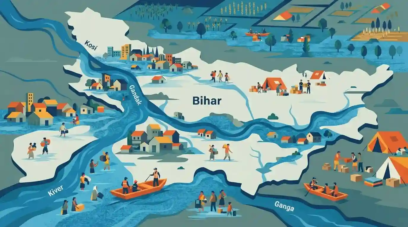
A severe flooding event in Bihar affected nearly 1 million people as major regional rivers, including the Kosi, Gandak, and Ganga, remained above danger levels, causing widespread displacement and highlighting the vulnerability of the region's river systems.
Key Points
- Nearly 1 million people were affected by severe floods in Bihar as major rivers remained flowing above the danger level.
- Monsoon-induced flooding in Bihar continues to threaten human settlement, agriculture, and infrastructure, reflecting ongoing regional hydrological challenges.
- Rivers like the Kosi, Gandak, and Ganga play a major role in seasonal inundation across north and central Bihar plains.
Important Terms
State Disaster Management Authority

A statutory body established under the Disaster Management Act, 2005, headed by the Chief Minister of Bihar, responsible for framing policies, planning, and coordinating mitigation and capacity-building measures for disasters in the state.
UPSC context
Relevant for BPSC (General Studies Paper II - Polity & Disaster Management). Tests knowledge of institutional frameworks for disaster risk reduction in Bihar.
Prelims Trap
monsoon-induced flooding in Bihar is caused exclusively by local heavy rainfall within the state boundaries
Aspirants often assume floods in Bihar are solely caused by local rainfall, ignoring that a major share of water originates from transboundary catchment areas in Nepal.
Static Concepts Connected
What are the major geographical causes of recurrent floods in North Bihar?
- Silt Deposition: High silt load brought down by Himalayan rivers like Kosi and Gandak reduces river bed capacity.
- Transboundary Inflow: Heavy and concentrated rainfall in the catchment areas of neighboring Nepal during monsoon.
- Course Shifting: North Bihar rivers frequently change their courses, particularly the Kosi (Sorrow of Bihar).
- Flat Topography: Flat topography and inadequate natural drainage systems in the north Bihar plains.
Cross-Topic Patterns
Transboundary rivers and India-Nepal water diplomacy
Bihar's seasonal river inundation is closely linked to transboundary water management agreements and meteorological coordination with Nepal's upper catchment areas.
Monsoon flooding and agrarian economic vulnerability
Severe monsoon flooding in the Gangetic plains directly triggers agrarian distress, crop loss assessments, and demands for enhanced rural disaster resilience funding.

Expect a multi-statement question combining Kosi river shifting courses, Nepal catchment dependencies, and SDRF/NDRF mandates.
Linked PYQs · 2
Linked PYQs · 2
- 2024-IBPSC_PRELIMSGS1
Which river is known as the ‘Sorrow of Bihar’?
- 2020BPSC_PRELIMSGS1
Which of the following rivers flowing in Bihar is a north flowing river?
