Dehradun Tons River Bridge Approach Road Collapse
Source:cartoq ↗
Why It Matters
Important for UKPSC Prelims regarding state geography (Tons River, Dehradun), state infrastructure projects, and the ongoing challenges of disaster resilience and governance (PWD accountability) in Uttarakhand.
Summary
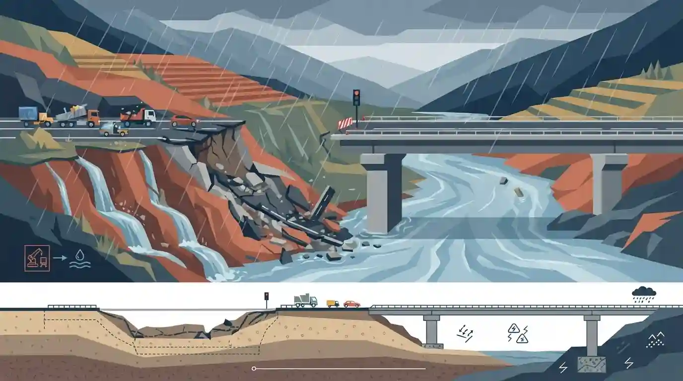
The approach road to the recently inaugurated Rs 16 crore bridge at Nanda Ki Chowki in Dehradun collapsed just 16 days after its opening. Triggered by heavy rainfall, the structure over the Tons River suffered massive damage, completely disrupting traffic on the critical Dehradun–Paonta Sahib Highway. The incident highlights significant concerns surrounding the quality of infrastructure construction and its resilience against natural disasters in Uttarakhand's vulnerable geography.
Key Points
- The approach road to a newly inaugurated Rs 16 crore bridge at Nanda Ki Chowki, Dehradun collapsed 16 days after opening.
- The collapse was triggered by heavy rainfall washing away the approach path, leading to a massive crater over the Tons River.
- Traffic on the Dehradun–Paonta Sahib Highway was heavily disrupted as a result.
- The incident underscores issues regarding infrastructure quality and vulnerability to extreme weather events in the Himalayan region of Uttarakhand.
Important Terms
Dehradun–Paonta Sahib Highway

A critical 45-km transit corridor on National Highway 7 (NH-7) that connects Dehradun in Uttarakhand with Paonta Sahib in Himachal Pradesh, facilitating key regional, commercial, and tourist traffic.
UPSC context
GS Paper III (Infrastructure); tests understanding of critical highway corridors and interstate regional connectivity projects in northern India.
Public Works Department (PWD)
A premier government agency responsible for designing, constructing, and maintaining public utility infrastructure like roads, bridges, and administrative buildings at state and central levels in India.
UPSC context
GS Paper II (Governance) & GS Paper III (Infrastructure); tests awareness of government execution agencies and public infrastructure management.
Tons River
The largest and longest perennial tributary of the Yamuna River, originating from the Bandarpunch glacier in Uttarakhand, flowing through Garhwal, and joining the Yamuna near Kalsi.
UPSC context
GS Paper I (Geography - Indian Drainage Systems); tests physical geographical features of major Himalayan river basins.
Himalayan Geography
The physical study of the geologically young, seismically active, and highly fragile mountain ecosystems of the Indian Himalayas, marked by steep gradients and extreme weather vulnerability.
UPSC context
GS Paper I (Geomorphology) & GS Paper III (Disaster Management); tests knowledge of mountain-specific geological hazards and landslide susceptibility.
Prelims Trap
"Duns are V-shaped erosional valleys carved by major Himalayan rivers over millions of years."
Duns (like Dehradun) are structural longitudinal valleys formed between the Lesser Himalayas and Shivaliks by drained temporary lakes, not erosional river valleys.
Static Concepts Connected
What is the geographical significance of Duns and the Tons River?
- Structural Origin: Duns are longitudinal valleys structurally situated between the Lesser Himalayas and the Shivaliks, formed when temporary lakes drained out.
- Tons River: The Tons River, which flows near Dehradun, is the largest tributary of the Yamuna River, originating from the Bandarpunch mountain.
Why is infrastructure in the Indian Himalayan Region (IHR) highly vulnerable?
- Geological Fragility: The region is characterized by geologically young, unstable sedimentary rocks and high seismic activity.
- Terrain and Climate: Steep slopes combined with intense monsoonal rainfall naturally predispose the terrain to severe landslides and flash floods.
- NDMA Mandates: To address these unique risks, the National Disaster Management Plan now prioritizes specific hazard mapping for Himalayan threats like GLOFs.
Cross-Topic Patterns
Himalayan Ecology vs. Mega Infrastructure
Recurring bridge and highway washouts tie into the broader debate over the environmental carrying capacity of the Himalayas amidst massive infrastructure pushes like the Char Dham Pariyojana.
Climate-Resilient Engineering Needs
Increasing frequency of extreme localized rainfall events exposes the failure of outdated hydro-meteorological models, highlighting the urgent need for climate-resilient structural engineering in hill states.

Expect a Prelims Geography mapping question linking Himalayan tributaries (Tons/Yamuna) to specific structural valleys (Duns).
Linked PYQs · 4
Linked PYQs · 4
- 2021UKPSC_PRELIMSGS1
'Govind National Park' includes :
- 2012UKPSC_PRELIMSGS1
Which are called 'Duns' in Uttarakhand?
- 2024UKPSC_PRELIMSGS1
Headquarters of which of the following is located in Dehradun, the Capital of Uttarakhand ?
- 2025UKPSC_PRELIMSGS1
As per Uttarakhand Budget 2025-26, the amount allocated for Char Dham Road network improvement is
