Morbi district authorities probe unexplained well water oscillation
Source:thelivenagpur ↗
Why It Matters
The incident serves as a practical case study for understanding localized geological and hydrogeological anomalies, such as well seiche and aquifer pressure dynamics, which are relevant to Geography and Disaster Management components of the syllabus.
Summary
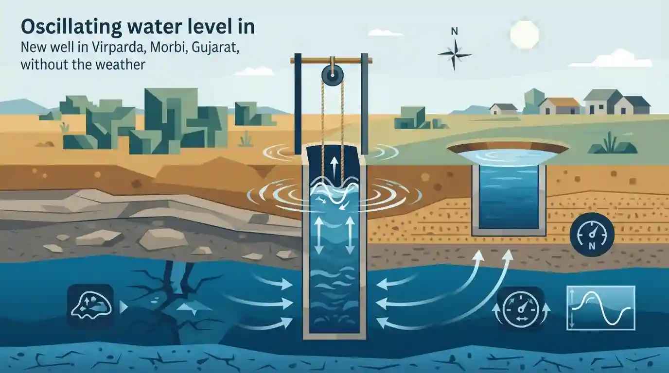
A newly dug 18-foot-deep well in Virparda village, Morbi district, Gujarat, has sparked curiosity after its water level continuously oscillated for hours without any visible trigger such as seismic activity or extreme weather. Morbi District Collector Swapnil Khare has initiated an investigation to understand the geological and hydrological factors at play. Theories range from shifts in groundwater pressure and movement within a confined aquifer to trapped air pockets or a rare localized "well seiche." The event is notable for its highly localized nature, as nearby wells remain unaffected.
Key Points
- An 18-foot-deep well in Virparda village, Morbi district, has exhibited continuous water oscillation without any apparent external trigger like seismic activity or strong winds.
- The Morbi District Collector and local authorities are investigating the geological, hydrological, and environmental factors behind the localized phenomenon.
- Experts suggest potential causes including changes in groundwater pressure following heavy rainfall, shifting within a confined aquifer, trapped subterranean air pockets, or a localized well seiche.
- The phenomenon is highly localized, as neighboring wells have not shown similar water level oscillations.
Important Terms
Well Seiche

A rare hydrogeological event where changes in groundwater pressure, remote seismic waves, or escaping trapped air generate rhythmic standing waves and continuous oscillations inside a well.
UPSC context
Tests GS-1 Physical Geography; highlights how localized subsurface pressure and atmospheric anomalies interact to alter groundwater behavior.
Confined Aquifer
An underground water-bearing layer sandwiched between impermeable rocks or clay. Because the water is trapped, it remains under high pressure, which can cause anomalous upward surges or artesian flow.
UPSC context
Crucial for GS-1 Geography and GS-3 Environment; tests knowledge of India's groundwater reserves, extraction dynamics, and hydrogeology.
Groundwater Dynamics
The study of subsurface water movement, governed by gravity, aquifer permeability, rock porosity, and hydraulic pressure. It determines how aquifers recharge, store, and discharge water.
UPSC context
Core GS-1 Geography concept; essential for understanding water scarcity, aquifer depletion, and sustainable water resource management in India.
Morbi District
A district in Gujarat's Saurashtra region known for its semi-arid climate and ceramic industry. Its complex subsurface geology makes it prone to rare hydrogeological anomalies.
UPSC context
Relevant for GS-1 Geography map-based questions and understanding regional geological and climatic variations in Western India.
Ground Water Research Institute (GWRI)
A specialized state-level body in Gujarat responsible for conducting scientific investigations, assessing groundwater quality, and studying localized hydrogeological anomalies to guide sustainable water management.
UPSC context
Relevant to GS-2 Governance and GS-3 Environment, focusing on institutional frameworks for water conservation and disaster management.
Prelims Trap
"Confined aquifers are directly exposed to atmospheric pressure and are recharged directly by surface rainfall."
UPSC often swaps aquifer definitions. Unconfined aquifers are exposed to atmospheric pressure; confined aquifers are trapped between impermeable layers and exist under high pressure.
Static Concepts Connected
What are the primary differences between Confined and Unconfined aquifers?
- Confined Aquifers: Trapped between two impermeable geological layers (like clay/rock), existing under pressure greater than atmospheric pressure (can create artesian wells).
- Unconfined Aquifers: The uppermost groundwater layer whose boundary is the water table. Directly exposed to atmospheric pressure and surface recharge, making it vulnerable to pollution.
What is a 'Seiche' and what triggers it?
- Definition: A standing wave oscillating in an enclosed or semi-enclosed body of water, such as a lake, bay, or well.
- Triggers: Typically caused by distant seismic waves, atmospheric pressure changes, or localized hydrostatic shifts within an aquifer.
Cross-Topic Patterns
Morbi's Industrial Water Stress
Morbi is India's largest ceramic manufacturing hub. Localized groundwater anomalies in this area spotlight the complex, heavily exploited hydrogeology underlying the industrialized, water-stressed regions of Saurashtra.
Saurashtra's Inland Drainage Systems
The hydrogeology of Morbi is tied to north-flowing rivers like the Machchhu, which drains inland into the Rann of Kutch, linking local groundwater dynamics to broader arid-region drainage systems.

Expect a pair-matching question in Prelims 2026 linking hydrological terms like 'seiche' or 'artesian well' to their exact definitions.
Linked PYQs · 2
Linked PYQs · 2
- 2026GPSC_PRELIMSGS1
Consider the following statements about earthquakes: 1. The maximum damage due to an earthquake occurs at its epicentre. 2. In areas close to the epicentre, the earthquake waves reach the earth's surface obliquely in a 'to-and-fro movement', thereby causing maximum damage. Which of the above statement(s) is/are correct?
- 2026GPSC_PRELIMSGS1
Consider the following statements regarding Aravallis: 1. The region is home to important lakes and wetlands including Sambhar, Sultanpur, Pushkar, Fatehsagar and Jaisamand. 2. It is one of the main watersheds, separating the drainage of the Bay of Bengal, through rivers like Chambal and other tributaries of the Yamuna, from that of the Arabian Sea through the Mahi, Sabarmati, Luni and other rivers. 3. The mountain range is home to lead, zinc, copper, gold, tungsten and has reserves of critical minerals such as tin, graphite, molybdenum, niobium, nickel, lithium and rare earth elements (REEs). These are considered to be of strategic relevance for energy transition, high-technology manufacturing and national security. 4. Rocks in the Aravallis are highly fractured, weathered and porous, allowing rainwater to percolate deep into the ground instead of running off the surface. Any disruption to this recharge system, through mining, construction or deforestation poses a direct and serious threat to regional water availability. 5. The Aravalli hills and range are 'green lungs' of North-Western India and serve as the indispensable ecological and socio-economic backbone of the region, functioning as the primary geographical barrier separating the arid North-Western desert from the fertile Northern Indian plains. Which of the above statements are correct?
