Gujarat Monsoon Rains Trigger Landslides and High Alert Warnings
Source:Indian Express ↗
Why It Matters
The event serves as a practical case study for UPSC aspirants on the impacts of extreme monsoon weather, the utility of IMD's colour-coded alerts (asked in GS1 2022), and the mechanisms of disaster preparedness against landslides and flooding (GS3).
Summary
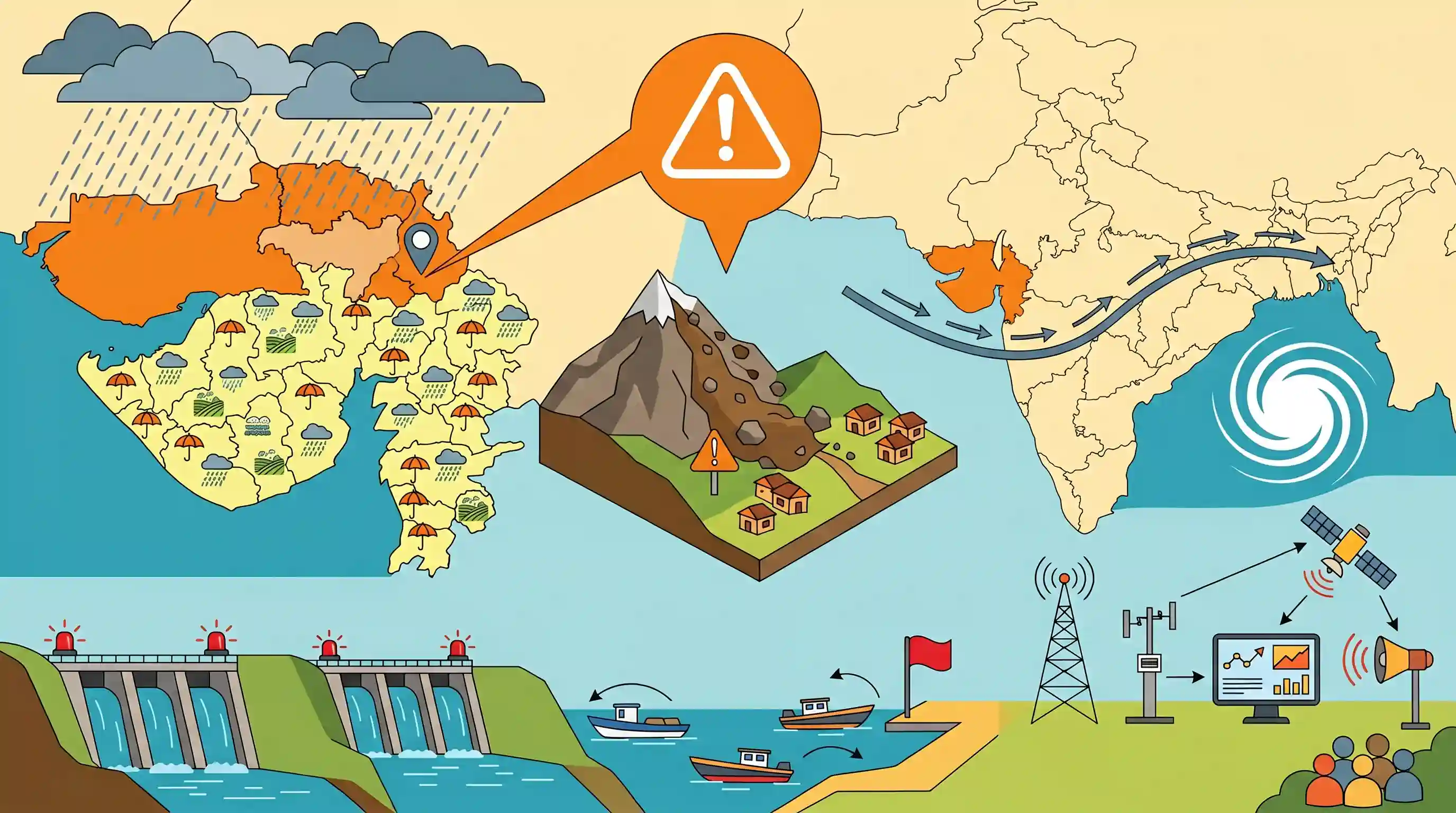
Heavy monsoon rains in Gujarat triggered a landslide in Banaskantha district and widespread rainfall across 147 talukas. The India Meteorological Department (IMD) issued a colour-coded 'orange alert' for the state, driven by a trough extending from Pakistan to Bangladesh and a cyclonic circulation. Consequently, several dams have been placed on high alert, and specific warnings have been issued for coastal fishermen, highlighting the critical role of early warning systems and disaster preparedness.
Key Points
- A severe monsoon-induced landslide blocked the Amba Ghata-Danta road in Banaskantha district, prompting rapid clearance by state authorities.
- The India Meteorological Department (IMD) issued an 'orange alert' for Gujarat due to heavy rainfall caused by a trough extending from Pakistan to Bangladesh and an associated cyclonic circulation.
- 14 dams in Gujarat have been put on 'high alert' as water levels rise rapidly, requiring vigilant disaster management by the State Emergency Operation Centre.
- Fishermen warnings were issued along the North and South Gujarat coasts due to anticipated severe weather conditions and rough seas.
Prelims Trap
Landslides in India only occur in 'High' and 'Very High' vulnerability zones like the Himalayas and Western Ghats.
The Aravalli range (e.g., Banaskantha) falls under a 'Moderate to Low' vulnerability zone, but it can still experience severe landslides during extreme localized weather events.
Static Concepts Connected
What is the Monsoon Trough and how does it dictate Indian rainfall?
- Definition: It is a semi-permanent low-pressure area extending from Pakistan to the Bay of Bengal during the Indian Summer Monsoon.
- Oscillation: Its north-south oscillation dictates the 'active' and 'break' phases of the monsoon.
- Break Monsoon: When it shifts north to the Himalayan foothills, rainfall stops in the plains ('break' monsoon) but triggers heavy floods in the Northeast.
What do the IMD's color-coded weather warnings signify?
- Green (No action): No severe weather expected; no advisory issued.
- Yellow (Be updated): Watch the weather; keep updated about potential changes.
- Orange (Be prepared): Forecast of severe weather; authorities must be prepared for power outages or transport disruptions.
- Red (Take action): Extreme weather expected; authorities must take immediate action to protect life and property.
Cross-Topic Patterns
Extreme Rainfall & Dam Safety Act
Sudden reservoir inflows during extreme monsoon events connect physical geography to the Dam Safety Act 2021, shifting focus from mere water storage to active flood-risk mitigation.
Aravallis: Emerging Landslide Vulnerability
Extreme weather anomalies are causing landslides in historically 'Moderate to Low' vulnerability zones like the Aravallis, challenging traditional NDMA hazard mapping and infrastructure planning.

Expect a multi-statement prelims question linking the Monsoon Trough's position to localized extreme events in non-traditional hazard zones.
Linked PYQs · 3
Linked PYQs · 3
- 2022MainsGS1
Discuss the meaning of colour-coded weather warnings for cyclone prone areas given by India Meteorological Department.
- 2021MainsGS3
Describe the various causes and the effects of landslides. Mention the important components of the National Landslide Risk Management Strategy.
- 2019MainsGS3
Disaster preparedness is the first step in any disaster management process. Explain how hazard zonation mapping will help disaster mitigation in the case of landslides.
