MMRDA Land Use Mapping in Mumbai Metropolitan Region
Source:freepressjournal ↗
Why It Matters
Important for MPSC aspirants tracking urban development, regional planning authorities like MMRDA, and geographical administration of Maharashtra's metropolitan regions.
Summary
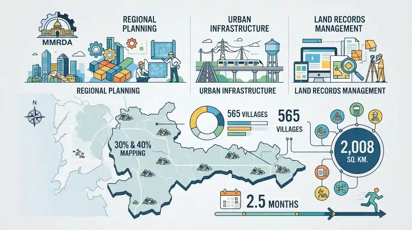
The Mumbai Metropolitan Region Development Authority (MMRDA) has completed the 30% and 40% land use mapping of 2,008 square kilometres across 565 villages within two and a half months to streamline regional planning, urban infrastructure deployment, and land records management in the Mumbai Metropolitan Region.
Key Points
- MMRDA successfully completed the land use and land cover (LULC) mapping for 30% and 40% categories across 2,008 square kilometres spanning 565 villages in just two and a half months.
- The mapping initiative helps in updating regional plans, monitoring urban expansion, and managing infrastructural development in the Mumbai Metropolitan Region (MMR).
- The project covers outlying villages across the districts adjacent to Mumbai such as Thane, Raigad, and Palghar under the jurisdiction of MMRDA.
Important Terms
MMRDA (Mumbai Metropolitan Region Development Authority)

A premier apex planning and executing body established by the Government of Maharashtra to formulate regional plans, coordinate infrastructure development, and manage urban growth across the Mumbai Metropolitan Region.
UPSC context
MPSC Paper II/III: Tests statutory bodies, urban governance, regional planning frameworks, and infrastructure execution in Maharashtra.
Prelims Trap
MMRDA's jurisdiction is restricted solely to the island city and suburban districts of Mumbai.
Aspirants often confuse MMRDA's planning jurisdiction with the Brihanmumbai Municipal Corporation (BMC), whereas MMRDA covers the entire Mumbai Metropolitan Region including Thane, Raigad, and Palghar districts.
Static Concepts Connected
What are the primary statutory functions and establishment details of the MMRDA in Maharashtra?
- Statutory Origin: Established in January 1975 under the Mumbai Metropolitan Region Development Authority Act, 1974.
- Core Mandate: Formulates regional plans, coordinates development activities, and executes major infrastructure projects in the MMR.
- Administrative Control: Operates under the Urban Development Department of the Government of Maharashtra.
Cross-Topic Patterns
MMRDA Land Mapping and the MRTP Act
MMRDA's spatial mapping in Thane, Raigad, and Palghar links directly with the Maharashtra Regional and Town Planning (MRTP) Act, 1966, governing decentralized urban growth.
Metropolitan Planning and the 74th Amendment
Rapid urbanization in Mumbai's fringe districts tests the administrative limits of local self-government bodies under the 74th Constitutional Amendment.

MMRDA's jurisdiction, establishment year, and planning powers under the MRTP Act are prime fodder for MPSC statutory bodies statements.
Linked PYQs · 2
Linked PYQs · 2
- 2018MPSC_PRELIMSGS1
Which of the following statements about Mumbai Metropolitan Region Development Authority (MMRDA) is false ?
- 2021MPSC_PRELIMSGS1
The Mumbai Metropolitan Region spread over 6,328 sq.km. consists of ________ Municipal Corporations.
