Citizen science initiative launched to map urban biodiversity
Source:The Hindu ↗
Why It Matters
Illustrates the practical application of citizen science and digital platforms (like iNaturalist) in biodiversity conservation. It serves as an excellent contemporary example for GS3 answers on technology in environmental management, the preservation of urban ecology, and mobilizing public participation for sustainable development.
Summary
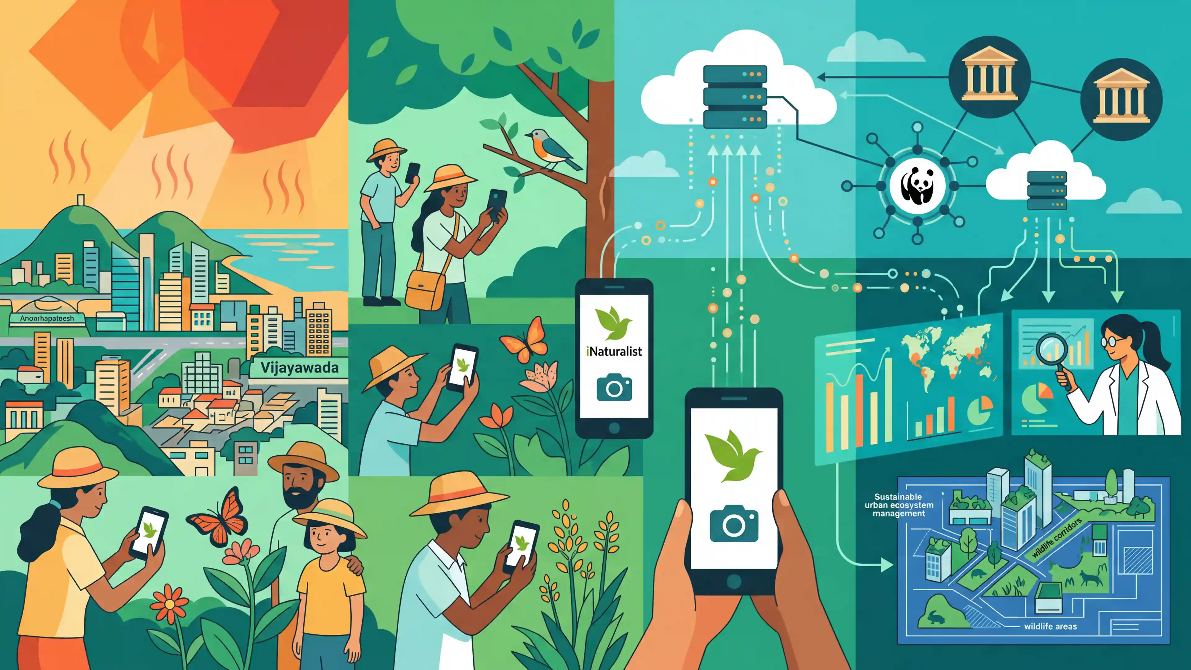
The City Nature Challenge 2026, a global citizen science initiative, has commenced to map urban biodiversity. In Andhra Pradesh, despite a prevailing heatwave, nature enthusiasts are using the iNaturalist platform to document flora and fauna in cities like Visakhapatnam and Vijayawada. Coordinated locally by WWF-India and organized globally by the California Academy of Sciences and the Natural History Museum of Los Angeles County, the effort aims to build an open-source inventory of urban ecological data. This crowdsourced information is instrumental in advancing conservation, scientific research, and sustainable urban ecosystem management.
Key Points
- The City Nature Challenge 2026 is a global citizen science initiative focused on mapping urban biodiversity.
- Participants document local flora and fauna using smartphones and the iNaturalist application, creating a crowdsourced ecological inventory.
- In Andhra Pradesh, the event is coordinated by WWF-India across major cities like Visakhapatnam, Vijayawada, Tirupati, and Eluru.
- The initiative is globally organized by the California Academy of Sciences and the Natural History Museum of Los Angeles County.
- Despite a prevailing heatwave, the effort generates baseline open-source data crucial for urban planning, scientific research, and conservation strategies.
Important Terms
City Nature Challenge (CNC)

An annual global citizen science event where participants document urban flora and fauna using the iNaturalist app to map local biodiversity and encourage community engagement.
UPSC context
Relevant for GS Paper III (Environment); highlights community-led conservation and data-driven ecological monitoring in urban planning.
Citizen Science
Scientific research conducted, in whole or in part, by amateur or non-professional scientists, often involving large-scale data collection and analysis.
UPSC context
GS Paper III (Science & Technology); tests awareness of collaborative research models and public participation in environmental management.
Urban Biodiversity
The variety and richness of living organisms, including plants, animals, and microorganisms, existing within human-dominated urban environments like parks, wetlands, and gardens.
UPSC context
GS Paper I (Urbanization) and Paper III (Environment); crucial for understanding sustainable cities and mitigating Urban Heat Island effects.
WWF-India
A leading Indian conservation organization that coordinates environmental initiatives, including biodiversity mapping and wildlife protection, often serving as a local partner for global challenges.
UPSC context
GS Paper III (Conservation); tests knowledge of major environmental NGOs and their role in national biodiversity strategies.
iNaturalist
An open-source digital platform and social network that allows users to record and share nature observations, assisting scientists in tracking species distribution and health.
UPSC context
GS Paper III (Science & Tech); examines the use of digital tools and crowdsourced data in modern ecological research.
Bioblitz
An intense period of biological surveying in a designated area, aiming to record all living species within a short timeframe (e.g., 24–48 hours).
UPSC context
GS Paper III (Environment); relates to methods of biodiversity assessment and the monitoring of ecological hotspots.
Prelims Trap
The City Nature Challenge is a flagship initiative of the UNEP to map urban biodiversity.
It is a global citizen science initiative co-organized by the California Academy of Sciences and Natural History Museum of LA, not a UN or government program.
Static Concepts Connected
What causes the Urban Heat Island (UHI) effect and how is it mitigated?
- Albedo reduction: Concrete and asphalt absorb and retain significantly more solar radiation than natural vegetation.
- Anthropogenic heat: Waste heat from vehicles, air conditioning, and industrial activities gets trapped in dense urban canyons.
- Mitigation: Urban green and blue spaces provide cooling through evapotranspiration and act as crucial carbon sinks.
What is the City Biodiversity Index (Singapore Index) used for?
- Core purpose: It is a pioneering self-assessment tool designed to evaluate and benchmark a city's biodiversity conservation efforts.
- Key indicators: Evaluates native biodiversity, the ecosystem services provided by urban green spaces, and local biodiversity governance.
Cross-Topic Patterns
Citizen Science & Global Data hubs
Data from apps like iNaturalist feeds the Global Biodiversity Information Facility (GBIF). UPSC frequently links localized grassroots monitoring to global AI/data-sharing frameworks.
Urban Heatwaves & Disaster Resilience
Urban biodiversity mapping connects to the GS1/GS3 theme of extreme weather. Shrinking blue-green spaces directly exacerbate Urban Heat Islands and urban flooding risks.

Expect a multi-statement Prelims question linking Urban Heat Islands, the UN Habitat 3-30-300 rule, and open-source hubs like GBIF.
Linked PYQs · 3
Linked PYQs · 3
- 2013MainsGS1
Bring out the causes for the formation of heat islands in the urban habitat of the world.
- 2023PrelimsGS1
'Invasive Species Specialist Group' (that develops Global Invasive Species Database) belongs to which one of the following organizations?
- 2024MainsGS3
Flooding in urban areas is an emerging climate-induced disaster. Discuss the causes of this disaster. Mention the features of two such major floods in the last two decades in India. Describe the policies and frameworks in India that aim at tackling such floods.
