Bihar Steps Up Flood Preparedness Across Districts
Source:timesofindia-indiatimes ↗
Why It Matters
Crucial for understanding Bihar's regional geography, flood vulnerability, and state-level disaster management systems frequently tested in BPSC prelims.
Summary
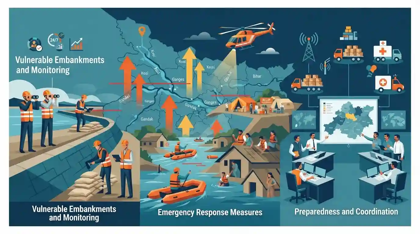
With major rivers flowing above danger levels across multiple districts, Bihar authorities have scaled up flood preparedness, emergency response measures, and round-the-clock monitoring of vulnerable embankments.
Key Points
- Major rivers in Bihar cross above danger marks in several districts, prompting heightened flood surveillance and readiness.
- District administrations are directed to monitor embankments round-the-clock and preposition rescue tools and disaster response teams.
- Monsoon flood vulnerability remains a recurring administrative challenge across northern and central Bihar districts along major river basins like the Ganga and Kosi.
Important Terms
Water Resources Department Bihar

The key state government body in Bihar responsible for flood management, construction and maintenance of embankments, anti-erosion works, and drainage of waterlogged areas across districts.
UPSC context
Important for BPSC Paper II (Governance and Disaster Management) under state administrative machinery for flood control.
Central Water Commission
An apex national technical organization under the Ministry of Jal Shakti tasked with flood forecasting, hydrological observation, and monitoring river water levels across India.
UPSC context
Crucial for UPSC/BPSC Prelims and Mains (Geography/Disaster Management) concerning national water data and flood warning systems.
Prelims Trap
The Ganga River flows through exactly 12 districts of Bihar, touching only northern floodplains.
Aspirants often confuse the total number of districts through which the Ganga flows or its entry/exit points in Bihar. Baksar is entry, Katihar is exit.
Static Concepts Connected
Which major northern tributaries of the Ganga in Bihar originate in Nepal or Tibet and are known for heavy siltation?
- Kosi River: The Kosi River originates from Tibet/Nepal, flows through North Bihar, and joins the Ganga at Kursela, historically notorious for its shifting courses.
- Gandak River: The Gandak River originates in the Tibet-Nepal border region and enters Bihar near Valmiki Nagar in West Champaran district.
- Bagmati and Burhi: The Bagmati and Burhi Gandak originate in the lower Himalayan foothills, draining central and northern districts before meeting the Ganga.
Cross-Topic Patterns
Bihar Flood Preparedness + Rural Livelihoods
Annual monsoon river surges link disaster management protocols directly with agricultural contingency planning and rural livelihood security across North Bihar.

Bihar river basins, particularly Kosi and Ganga dynamics, combined with NDRF/SDRF deployment protocols will feature in Prelims/Mains.
Linked PYQs · 2
Linked PYQs · 2
- 2019BPSC_PRELIMSGS1
The number of districts situated on the bank of Ganga river in Bihar State is
- 2024-EBPSC_PRELIMSGS1
Which of the following drainage systems drains the lands of Bihar?
