Bihar Enhances Embankment Monitoring and Flood Readiness
Source:timesofindia-indiatimes ↗
Why It Matters
Crucial for understanding Bihar's recurring flood vulnerability, river systems, and administrative disaster preparedness protocols relevant to BPSC exams.
Summary
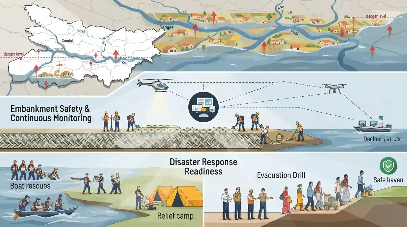
With major rivers in Bihar crossing danger levels, district administrations and the Water Resources Department have ramped up flood preparedness measures, focusing on embankment safety, continuous monitoring, and disaster response readiness.
Key Points
- Major rivers in Bihar have risen above danger marks, prompting heightened flood preparedness across vulnerable districts.
- The Water Resources Department and local administration have stepped up monitoring of embankments and flood-fighting mechanisms.
- Focus areas include reinforcement of vulnerable points, stocking of flood relief materials, and round-the-clock control rooms.
Important Terms
Water Resources Department Bihar

The nodal department of the Government of Bihar responsible for flood management, construction and maintenance of embankments, drainage, and irrigation infrastructure across the state.
UPSC context
Crucial for BPSC Paper II (Geography & Polity / Disaster Management sections), testing knowledge of state-level institutional mechanisms for flood control.
Prelims Trap
All major rivers causing floods in Bihar originate in the Himalayan region.
Aspirants often assume all major Bihar rivers originate in the Himalayas, ignoring that Southern tributaries like the Sone and Punpun originate in the Peninsular plateau.
Static Concepts Connected
What are the major river systems originating in Nepal and flowing through North Bihar?
- Kosi River: Kosi river originates from the Himalayas in Tibet and Nepal, known as the Sorrow of Bihar for frequent channel shifting.
- Gandak River: Gandak river originates near the Tibet-Nepal border and enters Bihar at Valmikinagar in West Champaran district.
- Bagmati & Burhi Gandak: Bagmati and Burhi Gandak originate in the Mahabharat Range of Nepal, traversing North Bihar before meeting the Ganga.
Cross-Topic Patterns
Bihar Geography meets Disaster Management frameworks
Bihar's annual monsoon floods directly link river geography with administrative disaster response frameworks (SDRF/NDRF) under the State Disaster Management Authority.
Trans-boundary river systems and barrage diplomacy
North Bihar's river system originates in Nepal, linking bilateral hydrological cooperation and barrage management with domestic flood control.

Expect a matching or multi-statement question on North Bihar river origins, barrage locations (Birpur, Valmikinagar), and flood control agencies.
Linked PYQs · 2
Linked PYQs · 2
- 2020BPSC_PRELIMSGS1
Which of the following rivers flowing in Bihar is a north flowing river?
- 2024-EBPSC_PRELIMSGS1
Which of the following drainage systems drains the lands of Bihar?
