Bay of Bengal Low Pressure Triggers Heavy Rains in Western Districts
Source:The Hindu ↗
Why It Matters
WBCS Prelims Geography often tests knowledge of West Bengal's climate, monsoon mechanisms, and district geography. This news event serves as a practical example of the Bay of Bengal's influence on the state's rainfall distribution.
Summary
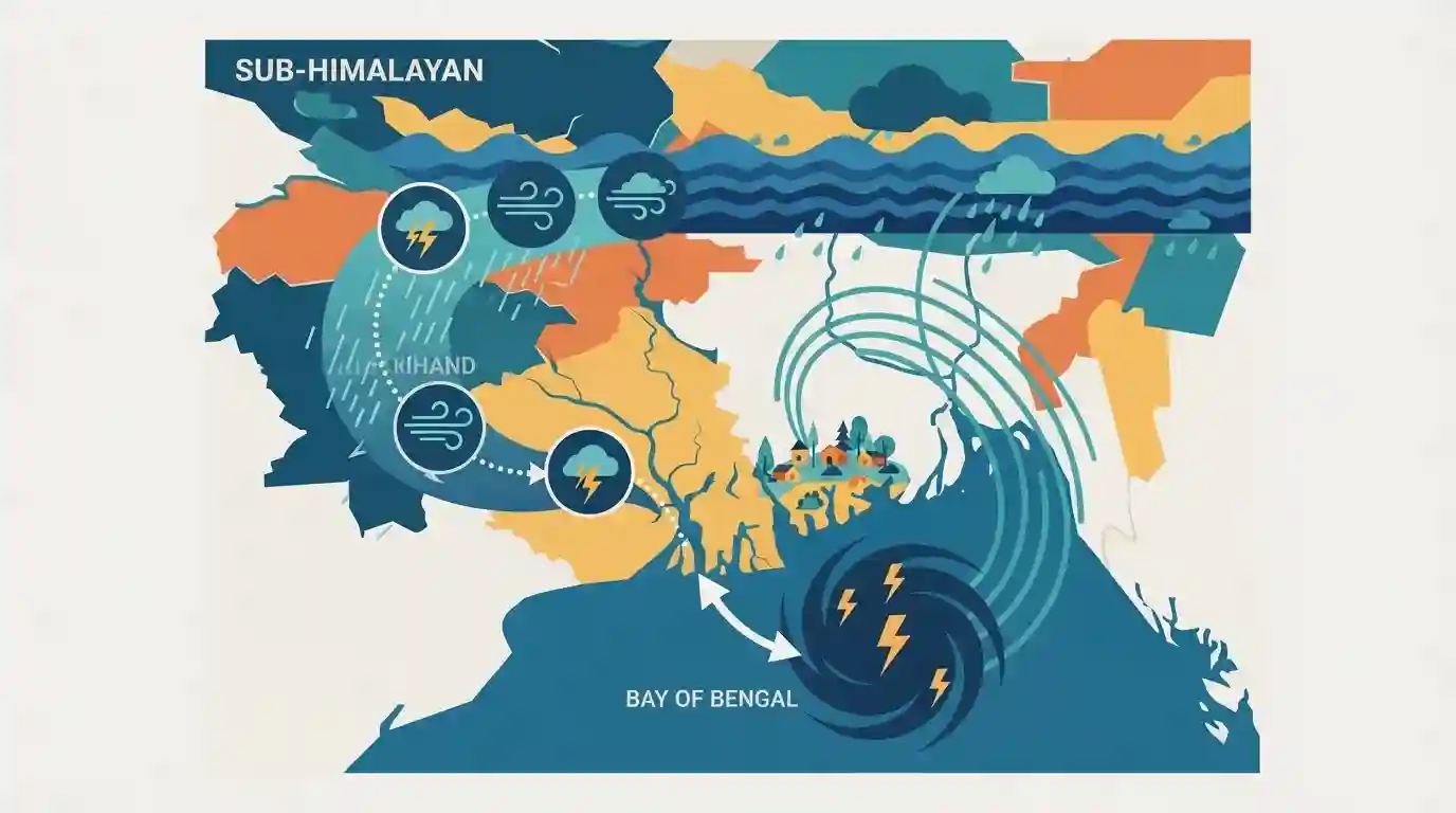
A low-pressure system, originating as a deep depression over the Bay of Bengal and making landfall near Sagar Islands, has weakened into a depression as it moves toward Jharkhand. This movement is causing intense rainfall, thunderstorms, and gusty winds across the western districts of West Bengal. The active monsoon trough and significant moisture incursion from the Bay of Bengal are also triggering isolated heavy rains in the sub-Himalayan districts.
Key Points
- A deep depression that crossed the West Bengal coast near Sagar Islands has weakened into a depression and is moving west-northwestwards toward Jharkhand.
- The IMD predicted heavy to very heavy rainfall, along with thunderstorms and gusty winds, for several western districts of West Bengal, including Purulia, Bankura, and Paschim Bardhaman.
- The sub-Himalayan districts of West Bengal, such as Darjeeling, Kalimpong, Alipurduar, and Jalpaiguri, are also expected to experience isolated heavy rain.
- The severe weather is driven by an active monsoon trough and strong moisture incursion from the Bay of Bengal.
Important Terms
Monsoon Trough

An elongated low-pressure area from Pakistan to the Bay of Bengal during the southwest monsoon. Its position determines active or break monsoon phases in India.
UPSC context
Crucial for GS Paper I (Geography) and GS Paper III (Disaster Management) to understand India's spatial rainfall distribution and flood risks.
Deep Depression
An IMD tropical cyclone classification for a low-pressure system with maximum sustained 3-minute surface winds between 28-33 knots (approx 52-61 km/h).
UPSC context
Important for GS Paper I (Climatology) and GS Paper III (Disaster Management) regarding cyclone formation stages and extreme weather early warnings.
India Meteorological Department (IMD)
The principal agency under the Ministry of Earth Sciences responsible for meteorological observations, weather forecasting, and seismology in India.
UPSC context
Essential for GS Paper III (Disaster Management and Science & Tech) as the nodal agency for weather warnings and cyclone naming.
Sagar Island
An island in the Ganges delta, West Bengal, located where the Hooghly River meets the Bay of Bengal. Famous for the annual Gangasagar pilgrimage.
UPSC context
Key for WBCS Geography of West Bengal, noting its location, vulnerability to cyclones, and cultural significance (Gangasagar Mela).
Prelims Trap
Western plateau districts like Purulia and Bankura are immune to floods due to their drought-prone lateritic geography.
While generally drought-prone with low annual rainfall (100-125 cm), these districts frequently suffer sudden flash floods when Bay of Bengal depressions move west-northwestward.
Static Concepts Connected
What governs the movement and impact of monsoon depressions in Eastern India?
- Monsoon Trough: Depressions generally move west-northwestwards along the active monsoon trough, dictating the spatial distribution of heavy rainfall across states like West Bengal and Jharkhand.
- Moisture Incursion: Their sustained intensity as they travel inland depends heavily on continuous moisture supply drawn from the Bay of Bengal.
- Landfall Weakening: Once they cross the coast, they gradually weaken from deep depressions into depressions due to surface friction and reduced moisture supply.
What are the core geographic characteristics of West Bengal's western districts?
- Tropic of Cancer: The 23°30' N latitude passes directly through five districts, notably the western districts of Purulia, Bankura, and Paschim Bardhaman.
- Plateau Fringe: They form the easternmost fringe of the Chota Nagpur Plateau, characterized by undulating topography and ancient crystalline rocks.
- Lateritic Soil: The region is dominated by red and laterite soils with poor water-holding capacity, making it historically drought-prone despite occasional torrential downpours.
Cross-Topic Patterns
Lateritic soils and flash flood vulnerability
The poor water infiltration capacity of laterite soils in Bankura and Purulia exacerbates surface runoff and flash flood risks when sudden monsoon depressions dump heavy rainfall over the plateau.
Sagar Island's dual geographic-cultural significance
Beyond being a frequent landfall site for Bay of Bengal disturbances at the Hooghly estuary, Sagar Island frequently appears in static GK for the Kapil Muni Temple and annual Ganga Sagar Mela.

Expect a multi-statement Geography question mapping BoB depression pathways to WB's Tropic of Cancer districts and soil types.
Linked PYQs · 5
Linked PYQs · 5
- 2015WBCS_PRELIMSGS1
West Bengal gets most of its rainfall from
- 2013WBCS_PRELIMSGS1
Cyclones of the Bay of Bengal are common during the
- 2011WBCS_PRELIMSGS1
Rainfall in West Bengal occurs due to summer monsoon by
- 2016WBCS_PRELIMSGS1
Which of the following types of climate on West Bengal experiences ?
- 2022WBCS_PRELIMSGS1
How many districts are there in West Bengal?
