Zojila tunnel engineering milestone for border connectivity
Source:The Hindu ↗
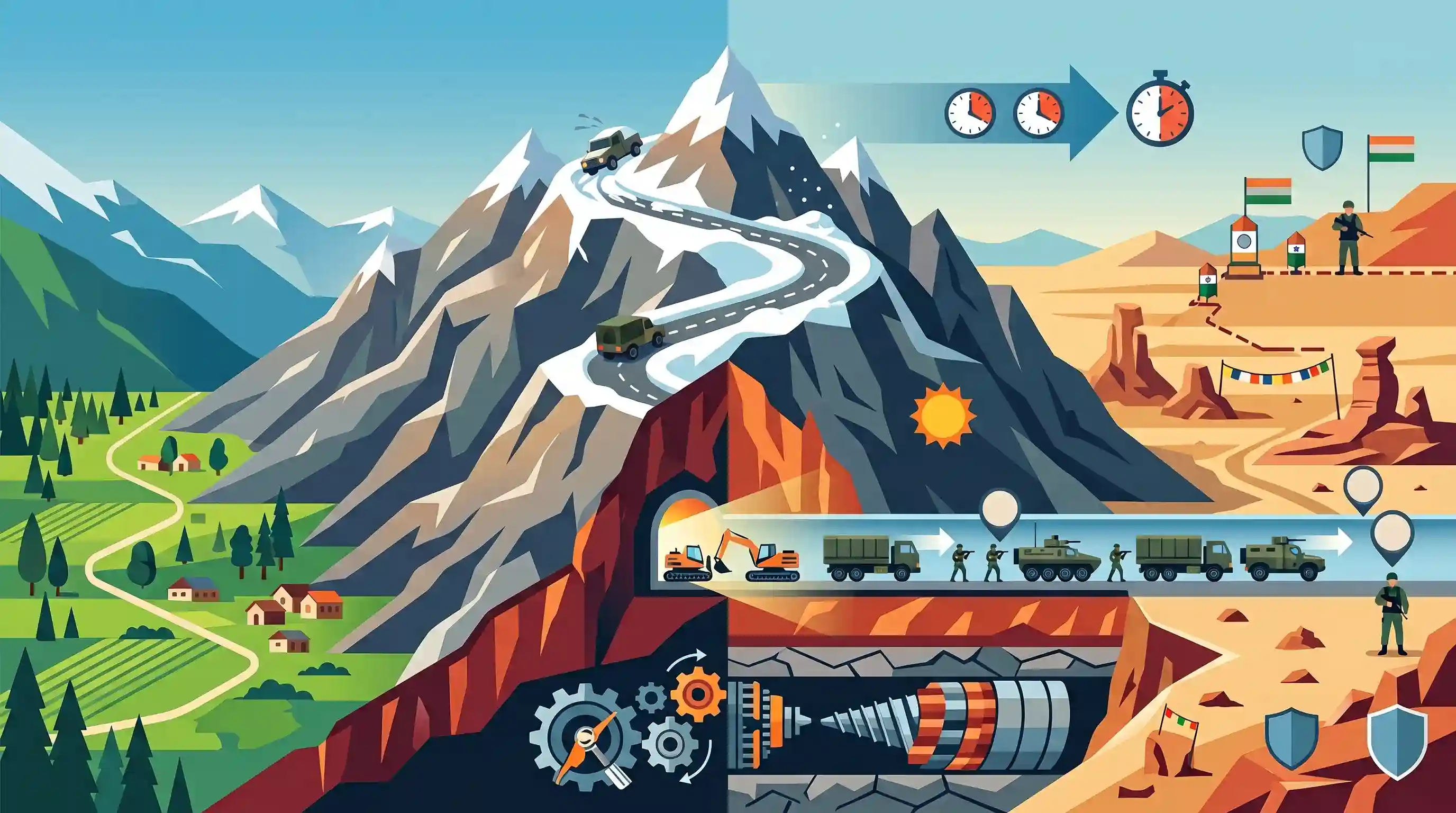
Why It Matters
The Zojila Tunnel is a critical component of India's border infrastructure development. It neutralizes the geographical disadvantage of the winter closure of Zojila Pass, ensuring continuous troop deployment and logistics supply to Ladakh, which is vital for national security against adversaries like China and Pakistan.
Summary
A major engineering milestone was achieved with the breakthrough of the Zojila Tunnel, a 13.15 km infrastructure project connecting the Kashmir Valley with Ladakh. Bypassing the winter-prone Zojila Pass, this tunnel provides crucial all-weather connectivity and reduces travel time to a mere 15 minutes. The project holds immense strategic value, enabling seamless military logistics and manoeuvrability for the Indian armed forces along the sensitive borders with China and Pakistan. Built at an altitude of 11,578 feet using the New Austrian Tunnelling Method, the early breakthrough marks a significant feat in India's border infrastructure push.
Key Points
- A breakthrough was achieved six months ahead of schedule in the construction of the 13.153 km long Zojila Tunnel.
- The single-tube, two-lane horseshoe-shaped tunnel connects Baltal in the Kashmir Valley to Minimarg in Ladakh.
- The tunnel bypasses the Zojila Pass, which typically closes for several months during winter due to heavy snowfall, thus ensuring all-weather connectivity.
- It drastically reduces travel time between the endpoints from roughly 1.5 hours to just 15 minutes.
- The project has immense strategic significance, improving the Indian Army's logistics, manoeuvrability, and readiness against border threats from Pakistan and China.
- Construction utilizes the New Austrian Tunnelling Method (NATM) to tackle the complex Himalayan geology and extreme weather at an elevation of 11,578 feet.
Important Terms
Zojila Tunnel

A 13.15 km strategic passage under Zojila Pass connecting Srinagar with Ladakh. It is Asia's longest bi-directional tunnel at high altitude, reducing travel time from hours to just 15 minutes.
UPSC context
GS-1 (Geography) and GS-3 (Infrastructure). Significant for Himalayan connectivity, regional integration, and strategic logistical mobility.
New Austrian Tunnelling Method (NATM)
An observational engineering technique using the surrounding rock's inherent strength for stabilization. It involves sequential excavation and real-time monitoring to adapt support systems to complex Himalayan geological conditions.
UPSC context
GS-3 (Infrastructure/Technology). Tests knowledge of advanced engineering solutions used to overcome treacherous Himalayan terrain.
NHIDCL
A state-owned company under the Ministry of Road Transport and Highways. It specializes in developing and maintaining high-speed highway corridors and strategic infrastructure in India's border and hilly regions.
UPSC context
GS-3 (Governance/Infrastructure). The primary executing agency for critical border connectivity and national security infrastructure projects.
All-weather connectivity
The ability of transport routes to remain operational year-round despite extreme weather. For Ladakh, this ends seasonal isolation caused by heavy snow blocking mountain passes for six months.
UPSC context
GS-3 (Security/Development). Essential for civil logistics, border defense, and the socio-economic integration of remote frontier regions.
Line of Actual Control (LAC)
The de facto boundary between India and China. The Zojila tunnel is strategically vital for this region, enabling rapid, year-round troop deployment and supplies to forward posts.
UPSC context
GS-3 (Internal Security/IR). Central to India's border management, strategic deterrence, and military preparedness against China.
Border Infrastructure
Strategic construction of roads, bridges, and tunnels in frontier areas. It bridges logistical gaps for armed forces while fostering economic development in sensitive, remote regions.
UPSC context
GS-3 (Internal Security). Key to the Border Area Development Programme and managing security along sensitive international boundaries.
Prelims Trap
"The Zojila Tunnel connects Manali to Leh and is situated in the Pir Panjal mountain range."
Zojila connects the Kashmir Valley to Ladakh via NH-1 in the Greater Himalayas. The Atal tunnel is what connects Manali to Leh and sits in the Pir Panjal range.
Static Concepts Connected
Which key mountain passes connect the major regions of Jammu, Kashmir, and Ladakh?
- Banihal Pass: Connects Jammu to Srinagar across the Pir Panjal range.
- Zojila Pass: Connects Srinagar to Kargil and Leh across the Greater Himalayas.
- Khardung La: Connects Leh to the strategically important Nubra Valley across the Ladakh Range.
- Fotula Pass: Highest point on the Srinagar-Leh highway, located in the Zanskar Range.
Why is the New Austrian Tunnelling Method (NATM) preferred for Himalayan infrastructure?
- Geological Flexibility: NATM easily adapts to unpredictable, fragile Himalayan rock by using sequential excavation rather than rigid, continuous boring.
- Stress Utilization: It leverages the inherent geological stress of the surrounding rock mass to support and stabilize the tunnel walls.
- Logistical Viability: Equipment required for NATM is far easier to transport to high-altitude passes than massive Tunnel Boring Machines (TBMs).
Cross-Topic Patterns
Border Infra & Multi-Front Readiness
All-weather tunnels (Zojila, Sela, Shinku La) overcome the "winter isolation" of border troops, directly supporting military logistics for a potential two-front deterrence against China and Pakistan.
Infrastructure in Fragile Geologies
The use of NATM highlights the critical engineering adaptations required to balance heavy infrastructure development with the seismically active and geologically young terrain of the Himalayas.

Expect a 'match the following' prelims question pairing strategic Himalayan tunnels (Zojila, Sela, Atal) with their mountain ranges.
Linked PYQs · 2
Linked PYQs · 2
- 2024MainsGS3
India has a long and troubled border with China and Pakistan fraught with contentious issues. Examine the conflicting issues and security challenges along the border. Also give out the development being undertaken in these areas under the Border Area Development Programme (BADP) and Border Infrastructure and Management (BIM) Scheme.
- 2016MainsGS3
Border management is a complex task due to difficult terrain and hostile relations with some countries. Elucidate the challenges and strategies for effective border management.
