Krishna and Godavari river floods trigger alerts in Andhra Pradesh
Source:The Hindu ↗
Why It Matters
Floods in major peninsular rivers like Krishna and Godavari frequently test the limits of disaster preparedness and state infrastructure. It provides practical context for UPSC topics regarding the roles of NDRF/SDRF, barrage/dam management during crises, and the geographical features of East-flowing rivers.
Summary
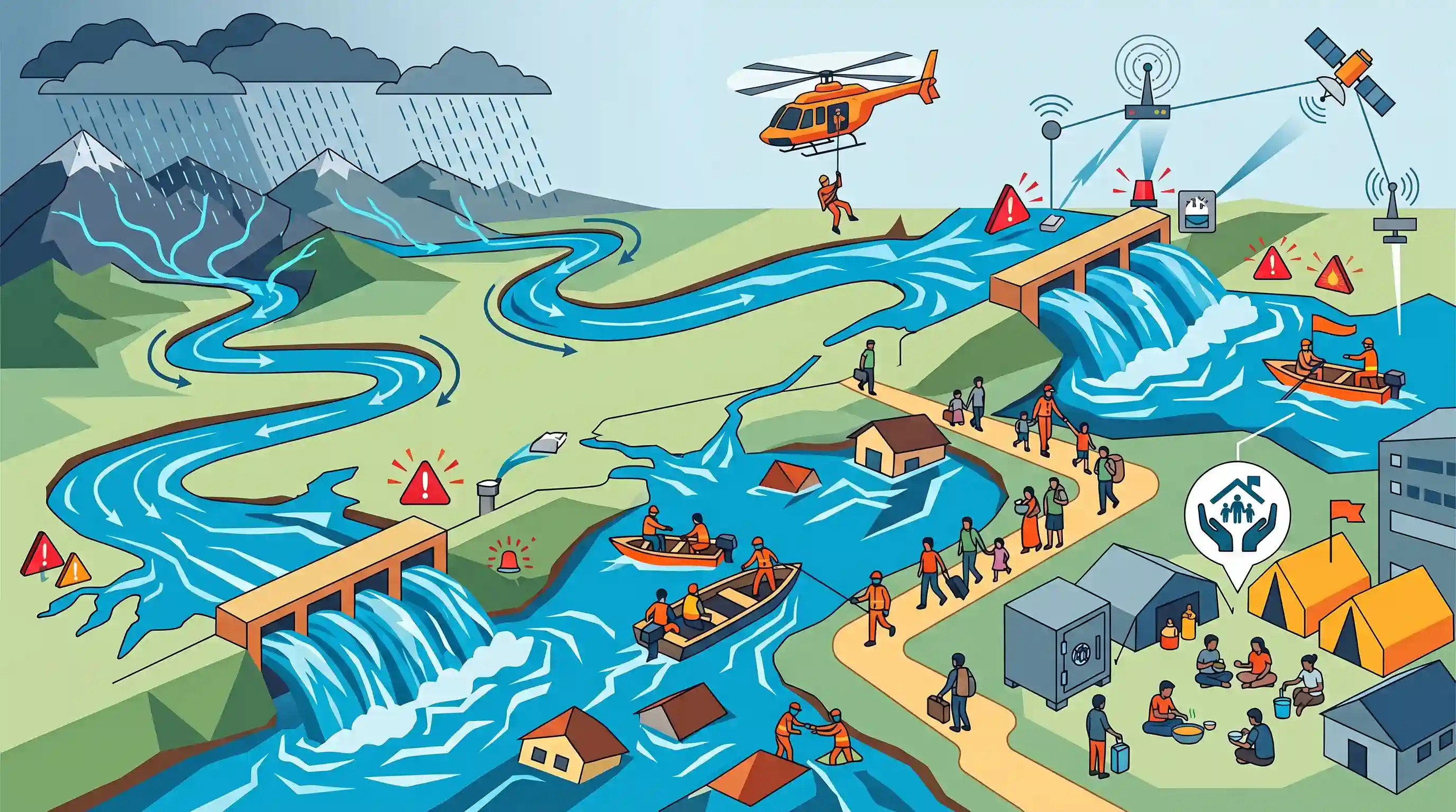
Continuous heavy rainfall in the catchment areas has caused severe flooding in the Krishna and Godavari rivers in Andhra Pradesh. Authorities have issued ongoing flood warnings as major structures like the Prakasam Barrage in Vijayawada and the Sir Arthur Cotton Barrage at Dowleswaram discharge massive volumes of water. State and National Disaster Response Forces (SDRF and NDRF) have been widely deployed for rescue operations, and affected populations are being moved to relief camps. This situation underscores the importance of effective disaster management and river infrastructure monitoring during extreme weather events in peninsular India.
Key Points
- Heavy inflows into the Krishna and Godavari rivers due to continuous rainfall have triggered severe flood warnings across Andhra Pradesh.
- Critical water infrastructure, including the Prakasam Barrage on the Krishna River and the Sir Arthur Cotton Barrage at Dowleswaram on the Godavari, are experiencing massive water discharges.
- The Andhra Pradesh State Disaster Management Authority (APSDMA), along with NDRF and SDRF teams, is actively engaged in rescue operations and relocating vulnerable populations to relief camps.
- The event highlights the critical need for robust disaster management, early warning systems, and efficient river infrastructure monitoring during extreme monsoon events.
Important Terms
National Disaster Response Force (NDRF)

A specialized paramilitary force established under the Disaster Management Act, 2005, for high-level rescue and relief operations during natural or man-made disasters.
UPSC context
GS Paper III: Disaster Management. Tests knowledge of institutional frameworks for emergency response and specialized rescue operations.
State Disaster Response Force (SDRF)
State-level units raised to provide immediate local response to disasters, supplementing the NDRF and governed by the State Disaster Management Authority (SDMA).
UPSC context
GS Paper III: Disaster Management. Focuses on federal cooperation and state-level preparedness during calamities like floods.
APSDMA
The apex state body in Andhra Pradesh responsible for formulating disaster management policies, implementing early warning systems, and coordinating relief efforts.
UPSC context
GS Paper III: Disaster Management. Relevant for understanding regional-level disaster governance and multi-hazard vulnerability in coastal states.
Prakasam Barrage
A major bridge-cum-barrage across the Krishna River at Vijayawada, critical for irrigating the Krishna Delta and managing flood discharge.
UPSC context
GS Paper I: Geography. Tests knowledge of Peninsular river systems, irrigation infrastructure, and major hydraulic structures in India.
Sir Arthur Cotton Barrage
A critical irrigation and flood-control structure on the Godavari River at Dowleswaram, essential for the agricultural productivity of the Godavari Delta.
UPSC context
GS Paper I: Geography. Relevant for studying water resource management and historical irrigation developments in the Deccan region.
Catchment Area
The entire geographic region from which a river or reservoir collects rainfall and surface runoff to feed its flow.
UPSC context
GS Paper I: Physical Geography. Basic concept for understanding river hydrology and causes of river flooding during monsoons.
Prelims Trap
"Kolleru Lake is a saltwater lagoon acting as a natural flood-balancer between the Krishna and Godavari deltas."
Kolleru is a freshwater lake, not a saltwater lagoon. It is fed by seasonal streams (Budameru, Tammileru) and balances floods between the two deltas.
Static Concepts Connected
What are the distinguishing geographic features of the Godavari and Krishna river systems?
- Godavari Basin: Originates at Trimbakeshwar (Maharashtra); key tributaries include Pranhita, Indravati, and Manjira.
- Krishna Basin: Originates at Mahabaleshwar (Maharashtra); major tributaries include Tungabhadra, Bhima, and Musi.
- Deltaic Plain: Both rivers form extensive, economically vital deltas on the East Coast, housing the freshwater Kolleru Lake in their inter-deltaic depression.
What is the statutory framework governing the NDRF and SDRF?
- Disaster Management Act: Constituted under Section 44 of the Disaster Management Act, 2005, for specialized response to threatening disaster situations.
- Command Structure: NDRF operates under the general superintendence of the NDMA (chaired by the PM), but administrative control lies with the MHA.
- State Counterparts: SDRF teams mirror the NDRF at the state level, directed by State Disaster Management Authorities (chaired by the CM).
Cross-Topic Patterns
River Interlinking & Hydrological Shifts
The Pattiseema Lift Irrigation project physically links the Godavari and Krishna basins. UPSC frequently tests the environmental and hydrological implications of such inter-basin water transfer projects.
Wetlands as Flood Infrastructure
Beyond biodiversity, Ramsar sites like Kolleru act as vital natural shock-absorbers during extreme monsoons. Expect questions combining peninsular drainage patterns with wetland utility.

Expect a map-based Prelims question matching Peninsular rivers (Krishna, Godavari) with their respective barrages or inter-delta wetlands.
Linked PYQs · 5
Linked PYQs · 5
- 2016PrelimsGS1
Recently, linking of which of the following rivers was undertaken?
- 2015PrelimsGS1
Consider the following rivers: 1. Vamsadhara 2. Indravati 3. Pranahita 4. Pennar Which of the above are tributaries of Godavari?
- 2023PrelimsGS1
Consider the following statements: 1. Jhelum River passes through Wular Lake. 2. Krishna River directly feeds Kolleru Lake. 3. Meandering of Gandak River formed Kanwar Lake. How many of the statements given above are correct?
- 2017MainsGS1
In what way can floods be converted into a sustainable source of irrigation and all-weather inland navigation in India?
- 2023MainsGS3
Dam failures are always catastrophic, especially on the downstream side, resulting in a colossal loss of life and property. Analyze the various causes of dam failures. Give two examples of large dam failures.
