Rising Kosi River Halts Mega Bridge Construction in Saharsa
Source:patnapress ↗
Why It Matters
Understanding Bihar's river network, especially the erratic behavior of the Kosi River ('Sorrow of Bihar'), is fundamental for BPSC geography. The challenges of building mega infrastructure in flood-prone diara areas highlight the socio-economic and geographical constraints of the state's northern plains.
Summary
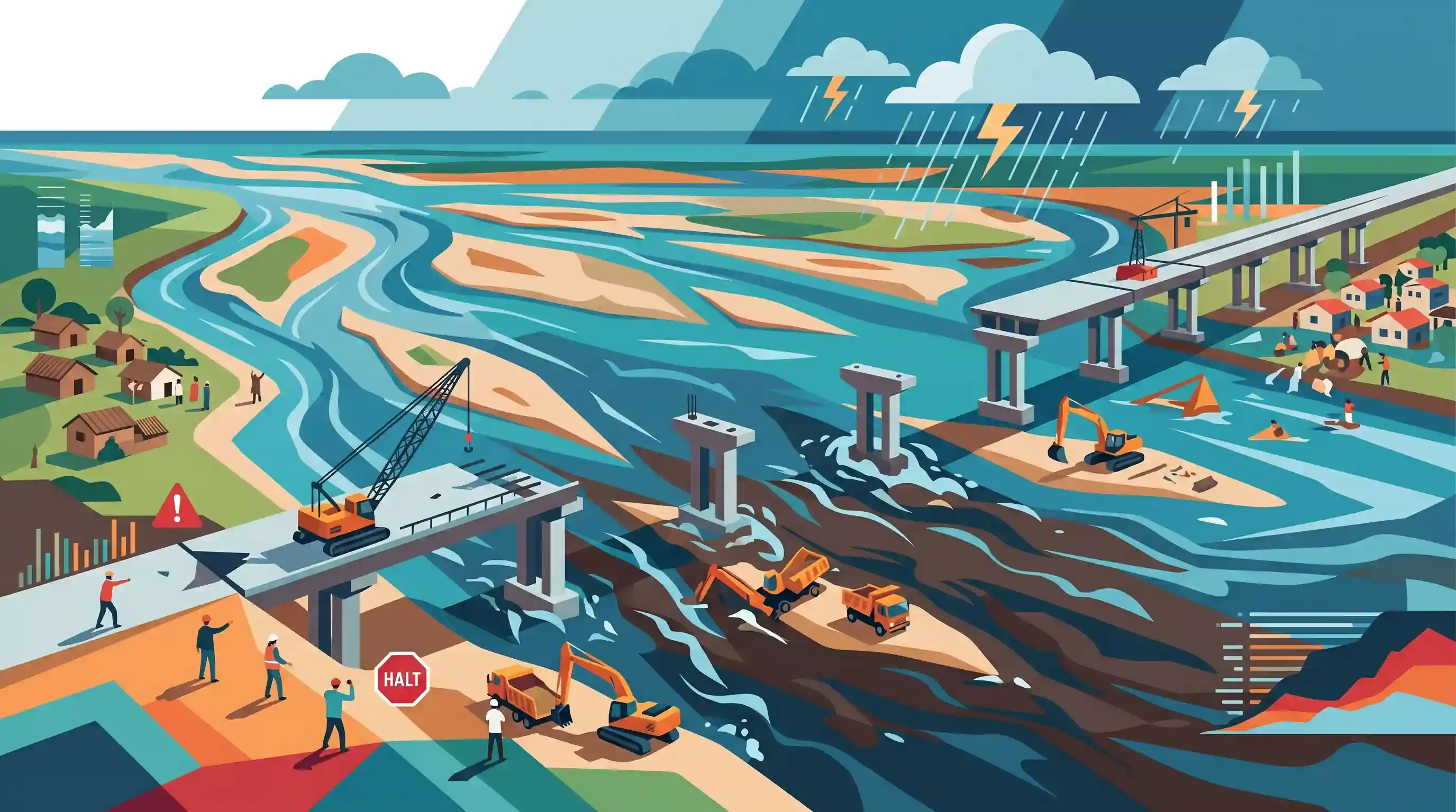
Rising water levels in the Kosi River have forced the partial suspension of work on the Rs. 414 crore high-level mega bridge project connecting Dengrahi and Khochardeva in the Salakhua block of Saharsa district, Bihar. The monsoon currents have submerged the under-construction pier worksites, forcing workers to halt riverbed operations due to safety risks. Once completed, the bridge will connect isolated 'diara' communities, but seasonal flooding continues to delay major infrastructure initiatives in the Kosi region.
Key Points
- The construction of the Rs 414 crore high-level mega bridge over the Kosi river has been partially halted because of the rising water levels in the river channel during the monsoon season.
- The under-construction bridge is located between Dengrahi and Khochardeva in the Salakhua block of Saharsa district, Bihar.
- While operations inside the riverbed (such as technical work around well foundations and pier construction) have been temporarily suspended for safety, construction on dry land stretches continues.
- The bridge is a crucial infrastructure project aimed at providing year-round road connectivity to the isolated and flood-prone 'diara' (riverine floodplains) regions of the Kosi belt.
- The Kosi River, famously called the 'Sorrow of Bihar', poses recurring engineering and developmental challenges due to its rapid course changes, high sediment deposit rates, and massive seasonal inundation.
Important Terms
Kosi River

A major transboundary Himalayan tributary of the Ganges flowing through Tibet, Nepal, and Bihar. It is known for its extreme sediment load and severe flood vulnerability.
UPSC context
GS Paper I: Indian Geography and Drainage Systems. Tests knowledge of transboundary rivers, riverine hydrology, and flood hazards.
Sorrow of Bihar
The historical moniker given to the Kosi River because of its devastating annual flooding, heavy siltation, and persistent lateral course changes that affect millions in north Bihar.
UPSC context
GS Paper I: Physical Geography and GS Paper III: Disaster Management. Relates to natural hazards, flood impacts, and regional riverine policies.
Diara Lands
Fertile riverine landforms or islands created by silt deposition in the middle of river channels in Bihar. They are highly suitable for agriculture but prone to extreme monsoonal inundation.
UPSC context
GS Paper I: Geomorphology and Indian Physiography. Evaluates understanding of regional depositional features, river-islands, and socio-economic vulnerability.
Avulsion
The rapid abandonment of an active river channel and the establishment of a new one. This phenomenon is a defining morphological characteristic of the unstable Kosi River.
UPSC context
GS Paper I: Geomorphology (River dynamics). Tests concepts of fluvial processes, sediment-load dynamics, and anthropogenic impacts like embankments.
Dengrahi-Khochardeva Mega Bridge Project
A ₹414-crore infrastructure project across the Kosi River in Saharsa, Bihar, aimed at providing all-weather connectivity to isolated, flood-prone riverine ('diara') communities.
UPSC context
GS Paper III: Infrastructure Development and State PCS (BPSC) geography. Analyzes developmental connectivity challenges in ecologically fragile river zones.
Prelims Trap
The Kosi River's gradual eastward migration has created extensive Devamatrika lands that depend entirely on monsoon rains for irrigation.
The Kosi River has historically migrated westward (not eastward) by about 120 km over 250 years. Additionally, Amarkosha classifies river-watered plains as 'Nadimatrika', whereas rain-dependent lands are 'Devamatrika'.
Static Concepts Connected
What is river avulsion and why is the Kosi River highly susceptible to it?
- Definition: Avulsion is the rapid, natural abandonment of an active river channel and the establishment of a new course.
- Sedimentation: Kosi carries massive sediment loads from the young Himalayas, which deposit rapidly as the gradient flattens in Bihar, elevating the riverbed.
- Course Shifts: The combination of high water discharge, heavy siltation, and flat plains forces the river to breach banks and shift westward.
How does the Gupta-era Amarkosha classify agricultural land by water source?
- Nadimatrika: Refers to river-fed lands that do not rely solely on rain, typical of fertile alluvial floodplains like the Diara regions.
- Devamatrika: Refers to rain-dependent agricultural lands that rely on seasonal monsoonal precipitation for crop maturation.
Cross-Topic Patterns
River Avulsion + Sendai DRR Targets
Integrates structural flood-mitigation infrastructure with non-structural floodplain zoning to minimize recurring damage to public assets, aligning with Sendai Framework Target D.
Ancient Agrarian Geography + River-Linking
Links ancient land-water classifications (Nadimatrika) with modern multi-crore river-linking designs (Kosi-Mechi) to transform rain-dependent zones into assured-irrigation basins.

Kosi-Mechi link dynamics and geomorphological features of river avulsion/Diara lands are highly likely for 2026 Geography questions.
Linked PYQs · 3
Linked PYQs · 3
- 2024-IBPSC_PRELIMSGS1
Which river is known as the ‘Sorrow of Bihar’?
- 2020BPSC_PRELIMSGS1
Which of the following rivers flowing in Bihar is a north flowing river?
- 2025BPSC_PRELIMSGS1
Which districts in Bihar will benefit from the Kosi Mechi Link Project?
