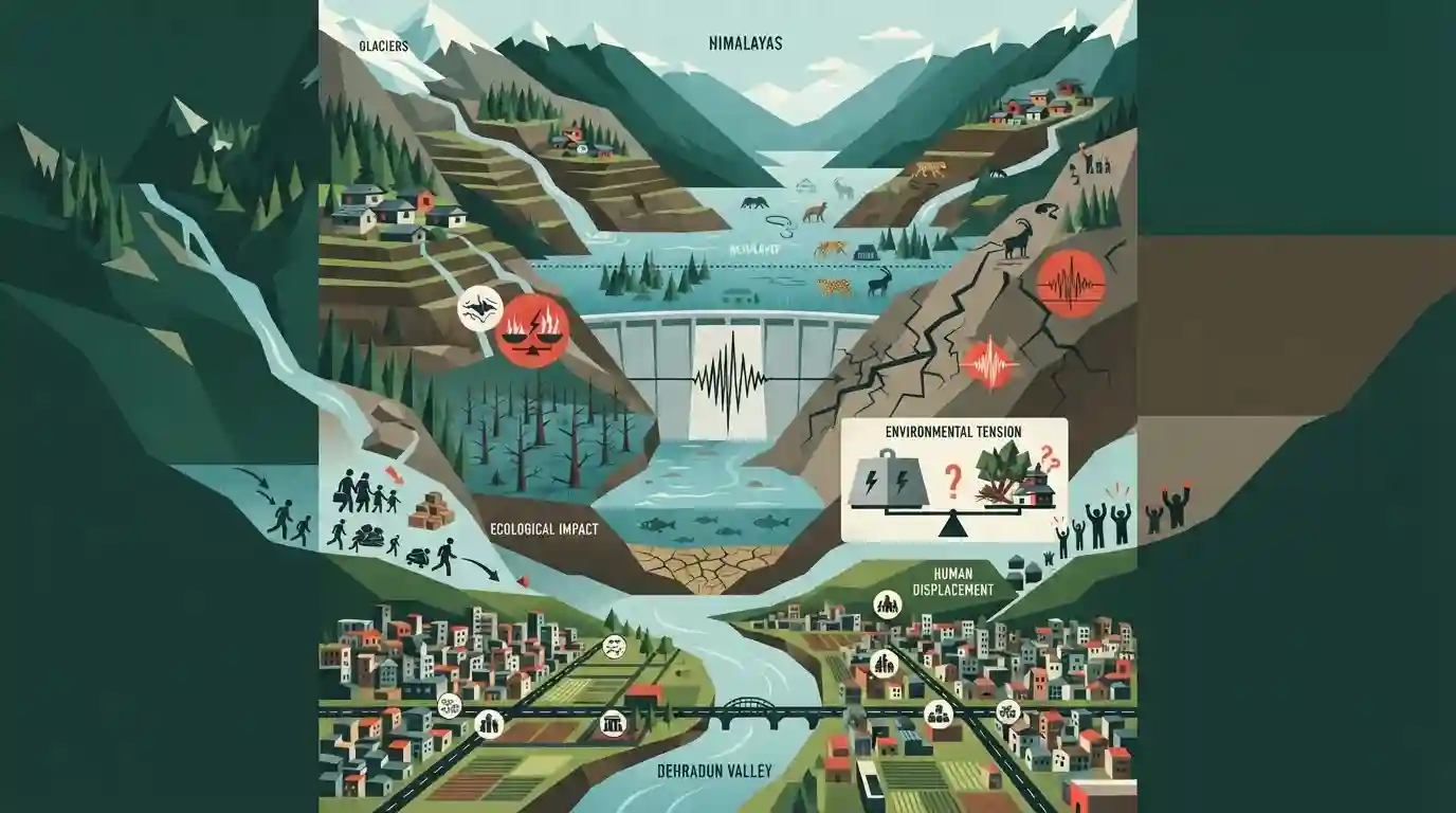
Kishau dam project raises environmental and seismic concerns in valley
Source:Indian Express ↗
Why It Matters
Highly relevant for UKPSC aspirants studying major infrastructure projects, river systems, and environmental vulnerability specific to Uttarakhand.
Summary
An opinion column discussing the potential ecological, seismic, and human risks posed by the Kishau Dam Project to the Dehradun valley and its people, highlighting the ongoing tensions between large-scale river-valley projects and Himalayan environmental conservation.
Key Points
- The Kishau Dam Project, planned on the Tons river (a major tributary of the Yamuna), raises severe environmental, seismic, and displacement concerns for the Dehradun valley and surrounding areas.
- Large-scale hydroelectric projects in the fragile Himalayan ecology of Uttarakhand pose risks of geological instability, submergence of forests, and displacement of local populations.
- The Dehradun valley, classified geographically as a structural valley or 'Dun', is ecologically vulnerable to major infrastructure interventions.
Important Terms
Kishau Dam Project

A major multipurpose river valley project constructed on the Tons River (a tributary of the Yamuna) along the Uttarakhand-Himachal Pradesh border, aiming for hydropower generation and water supply.
UPSC context
Important for UKPSC Mains (Geography of Uttarakhand & River Valley Projects) covering environmental impact, seismic risks, and inter-state water disputes.
Survey of India
The national geodetic and mapping organization of India, established in 1767, with its historic headquarters located in Dehradun, Uttarakhand.
UPSC context
Frequently asked in UKPSC Prelims under Uttarakhand Geography and institutions headquartered in Dehradun.
Prelims Trap
Kishau Dam is built solely within Dehradun district on the main Yamuna river.
Aspirants often confuse the Tons river as a tributary of the Ganga or place the dam entirely within Dehradun district.
Static Concepts Connected
What are the primary geographical features and boundaries of the Dehradun 'Dun' valley?
- Location: Longitudinal valleys situated between the Lesser Himalayas (Himachal) and the Shiwalik range.
- Geology: Composed of thick alluvial fan deposits (bhabar and terai characteristics) washed down from the higher ranges.
- Drainage: Drained by river systems like the Tons and Song, which are key tributaries of the Yamuna and Ganga basins.
Cross-Topic Patterns
Himalayan Hydro Projects vs. Eco-Fragility
The Kishau project on the Tons river highlights the friction between regional energy security and fragile Himalayan ecology, mirroring debates in Tehri and Joshimath.
Interstate River Disputes & Basin Agreements
Interstate Yamuna basin agreements demonstrate cooperative federalism challenges in sharing costs and submergence liabilities between Uttarakhand and Himachal Pradesh.

Kishau Dam (Tons river) + Dun geography + Himalayan seismic vulnerability will likely feature in UKPSC Mains Paper 5 or Prelims.
Linked PYQs · 2
Linked PYQs · 2
- 2024UKPSC_PRELIMSGS1
Match the hydroelectric projects with the river on which they are constructed : | Name of Project | River | |---|---| | A. Koteshwar | 1. Asan | | B. Kulhal | 2. Alaknanda | | C. Tapoban Vishnugad | 3. Bhagirathi | | D. Vishnuprayag | 4. Dhalui | A B C D
- 2012UKPSC_PRELIMSGS1
Which are called 'Duns' in Uttarakhand?
